$300 million harbor deepening moves to water
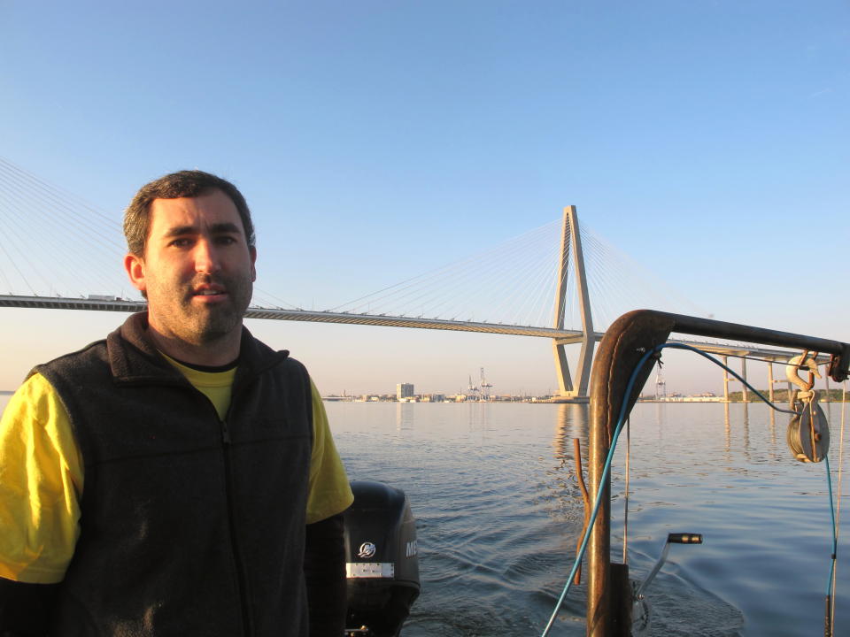
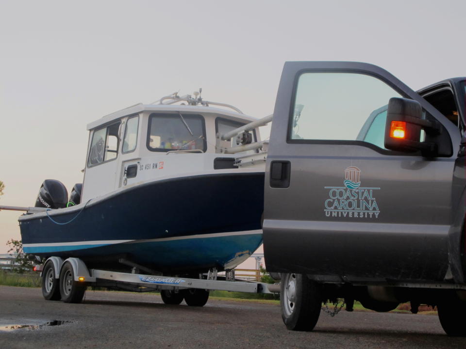
CHARLESTON, S.C. (AP) — For the past several weeks, James Phillips and Jeff Marshall have been up before dawn streaks the sky, taking their 24-foot research boat to a ramp on Charleston Harbor. They launch the craft, fire up their computers and then begin the painstaking work of surveying areas along the harbor shipping channel.
The work by the Coastal Carolina University researchers is all part of a sheaf of studies needed for a planned $300 million deepening of the Charleston Harbor shipping channel. Their work is part of about $2 million in studies for the project recently awarded by the U.S. Army Corps of Engineers.
Lt. Col. Ed Chamberlayne, the district engineer for the Charleston District, said the study is designed to identify any historic artifacts that might be in areas that would be deepened.
The survey is being conducted on either side of the existing shipping channel in the upper harbor. In a couple of weeks, Phillips and Marshall will use a bigger boat to survey areas farther offshore.
Deepening the channel from its present 45 feet would involve extending the entrance channel three miles farther out to sea. The research will also give an indication of what sort of rocks or sediments might be encountered in an area the corps has never dredged.
"It's to get a good idea of where we might encounter rock," Chamberlayne said last week while on the survey boat to get a first-hand look at the work of the researchers. "If that's going to happen, we want to know how that will affect our cost estimates because dredging rock is a lot more expensive than dredging silt."
The South Carolina State Ports Authority wants the channel deepened from its current 45 feet to 50 feet so the Port of Charleston can handle the larger container ships that routinely will be calling when the Panama Canal expansion is opened to shipping traffic in 2015.
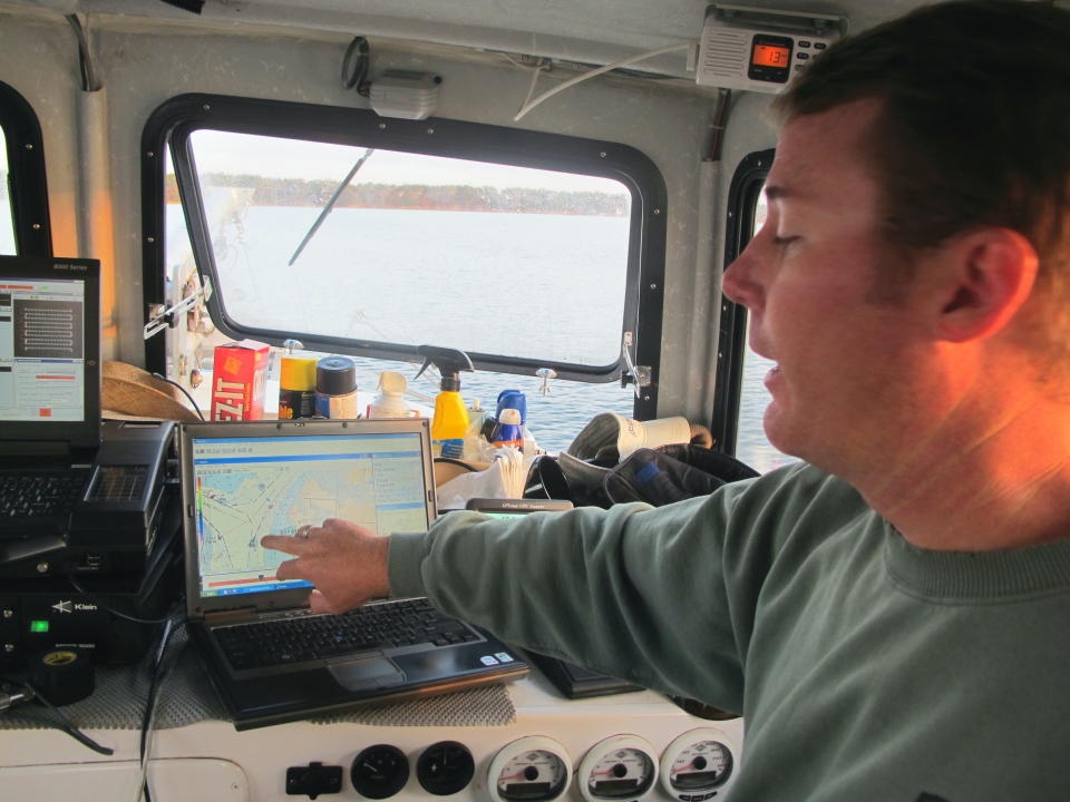
Phillips explained that the survey boat drags along both sidescan sonar and a magnetometer. The sonar sends out a signal that is returned and, with the use of the computer, creates a profile of the bottom. The magnetometer records anything containing iron on the bottom.
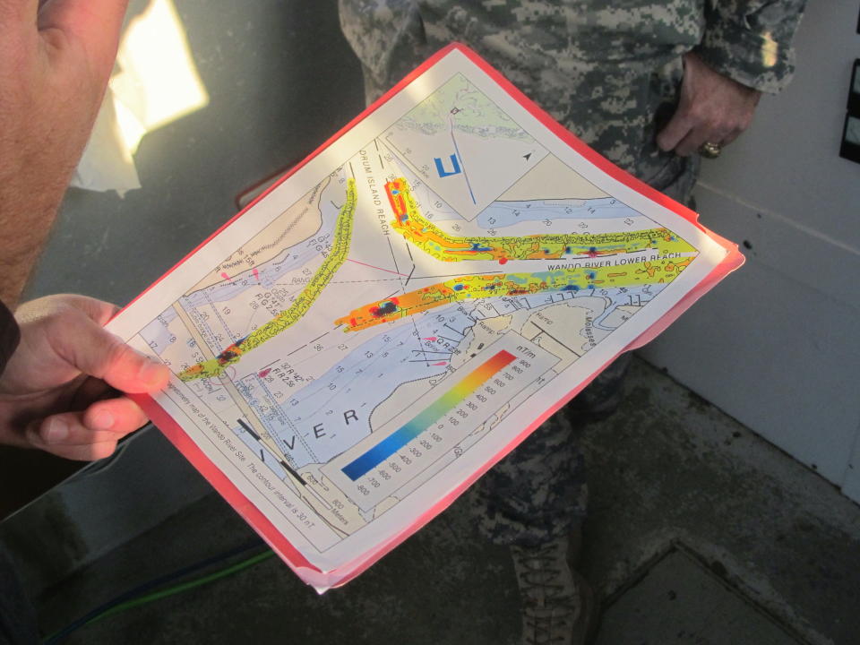
Marshall showed a survey map of the upper shipping channel. One area showed a black abnormality that he said will later be examined closely, perhaps by divers. It could be nothing more than an old anchor, he said.
The Coastal Carolina research should be wrapped up by year's end.
Chamberlayne said other studies are also getting under way, including studies of water sediments and fish and other critters in the area that could be affected by the dredging. The area, he said, represents about 11 percent of the harbor.
The sediment study will determine what sort of sediment would be removed in deepening the harbor.
Scientists will have to determine if that silt can be disposed of on high ground or elsewhere, perhaps on Morris Island where there's been an effort to save the lighthouse. Because of erosion from the Charleston Harbor jetties, the lighthouse is now completely surrounded by water.
The environmental impact statement on the channel deepening is expected to be complete in 2015.
___
Follow Bruce Smith at http://twitter.com/brucesmithap
