It's wind chill Wednesday in Midwest; Northeast awaits cold


MINNEAPOLIS (AP) — As the season's first bitter cold spell gripped the Upper Midwest on Wednesday, schools and officials farther east braced for the icy blast to spread their way as early as Thursday.
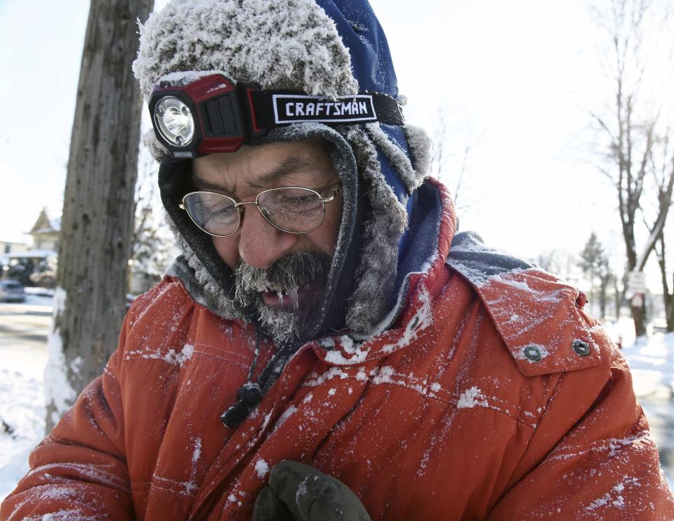
People in North Dakota, Minnesota and Wisconsin were under a wind chill advisory Wednesday from the National Weather Service, as were parts of Montana, Wyoming, South Dakota, Iowa, Illinois, Indiana and Ohio.
Wednesday's highs ranged from 20 to 30 degrees below average in the northern U.S., according to the weather service. The temperature was 4 below in Fargo, North Dakota, early Wednesday, and a daylight reprieve in the single digits was short-lived, with lows Thursday morning forecast to be around minus-12. Duluth, Minnesota, was forecast for an overnight low of minus-5.
With the arctic air tracking northeast, Connecticut Gov. Dannel P. Malloy said he would activate the state's severe cold-weather protocol on Thursday, calling for state police and other agencies to work with shelters and community groups to protect vulnerable residents. Malloy also encouraged communities to open warming centers.
Vermont public safety officials warned residents to limit their time outdoors Thursday and Friday due to dangerous wind chills forecast at 35 below. In upstate New York, some schools and government offices were closing early ahead of expected lake-effect snow expected to dump 1 to 2 feet.
Much of the northern Mid-Atlantic and Northeast will stay cold for the next couple of days as the arctic air remains stuck over the northern Appalachians, the National Weather Service said.
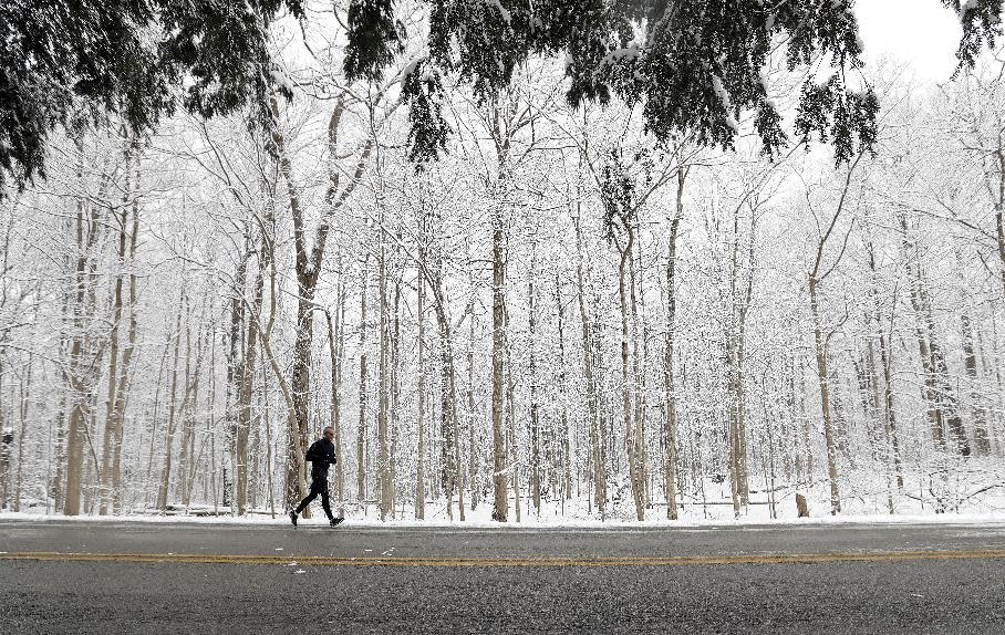
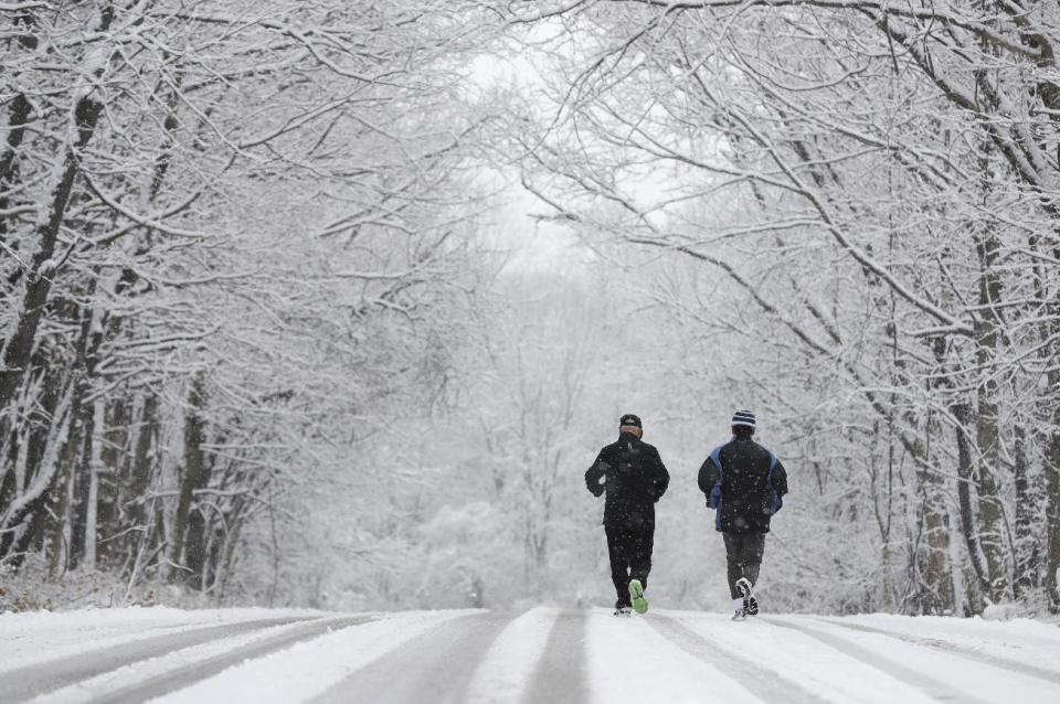
The system also is expected to bring widespread snow from the Great Lakes to the Northeast on Thursday. Much of the central U.S. will be dry but cold.
Below-normal temperatures are expected this weekend and into Monday across the entire northern half of the country, from the Pacific Northwest to Maine and as far south as Oklahoma, Arkansas and Virginia, according to the Climate Prediction Center.
Up to half a foot of snow could fall from the Upper Mississippi Valley to the Northeast on Friday and Saturday, and areas east of the Appalachian Mountains could see freezing rain and sleet on Saturday.
Another arctic air mass on the heels of this cold front is expected to bring temperatures to the northern Plains over the weekend and into early next week that will be as much as 24 degrees below normal, according to Climate Prediction Center forecaster Stephen Baxter.
