![The Lookout](https://s.yimg.com/ny/api/res/1.2/PX9N9kjDk3fjlpXsYlBz_w--/YXBwaWQ9aGlnaGxhbmRlcjt3PTE0NDtoPTYw/https://media.zenfs.com/152/2011/04/13/lookout-placed-135x56_020130.jpg)
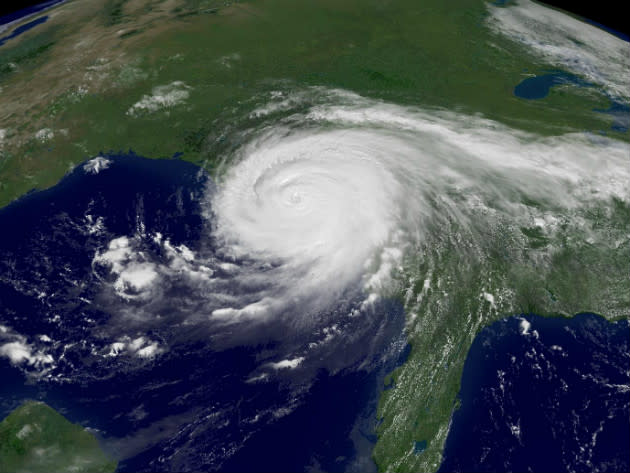
Hurricane Isaac as seen from space
![](https://s.yimg.com/ny/api/res/1.2/MNUahW9U.vJ85KKerhGrfQ--/YXBwaWQ9aGlnaGxhbmRlcjt3PTEyNDI7aD05MzI-/https://s.yimg.com/os/en/blogs/thelookout/isaac-nasa-space-image.jpg)
The image above, taken by NASA's Terra satellite's MODIS (Moderate Resolution Imaging Spectroradiometer), shows Hurricane Isaac approaching the Louisiana coastline at 1:30 p.m. CT on Tuesday, shortly after the storm achieved hurricane status.
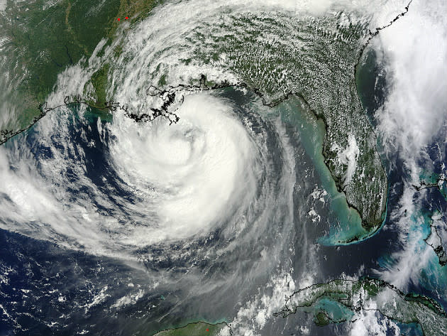
The image below, taken by NASA's GOES-12 satellite in late August 2005, shows Hurricane Katrina approaching at nearly the same point.
![](https://s.yimg.com/ny/api/res/1.2/MZdKN4vIqLf2R2d.Q_8H0w--/YXBwaWQ9aGlnaGxhbmRlcjt3PTk2MDtoPTcyMQ--/https://s.yimg.com/os/en/blogs/thelookout/katrina-nasa-space-image.jpg)