
After new East storm, warm-up (finally!) in sight


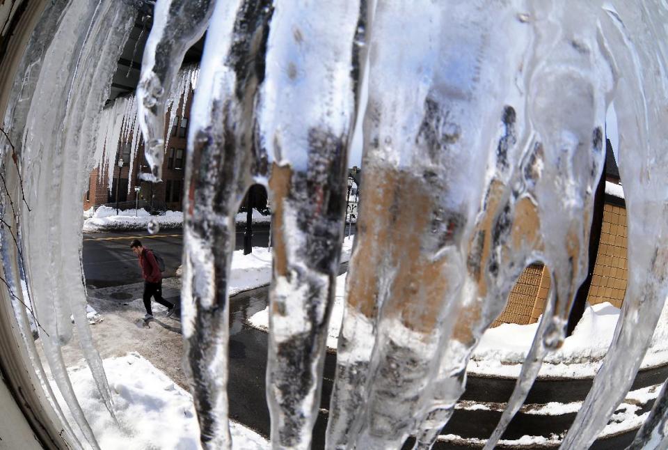
BOSTON (AP) — A speedy winter storm that blew through parts of the Great Lakes and East on Tuesday is expected to leave a trail of warmer weather and rain that should provide a respite for residents weary of weeks of bitter cold but create the potential for flooding and collapsing roofs in some areas.
Clogged storm drains could cause ponding and puddles on roads, and in Ohio the National Weather Service said the combination of melting snow and more rain could cause significant flooding. In Michigan, where several roof collapses have been reported since January, there was concern that rain on top of snow could lead to more.
Temperatures above freezing in places where the storm passed through Tuesday should move up to the 40s to mid-50s for the rest of the week, said meteorologist John Cristantello, of the National Weather Service in New York.
Despite the warming and some expected rain on Wednesday and Friday, flooding will not be a concern in New England, said Alan Dunham, a meteorologist with the weather service in Taunton, Mass.
"The snow can handle a lot of rain," he said. "It's not like we're looking at temperatures into the upper 50s and mid-60s. The snow's not going to all melt away all at once. By next week, we'll be back down to normal and below normal temperatures."
The storm took thundersnow to Pittsburgh and areas northeast of the city. Pennsylvania Turnpike officials reduced speed limits along the entire 360-mile highway system but later lifted most of them.
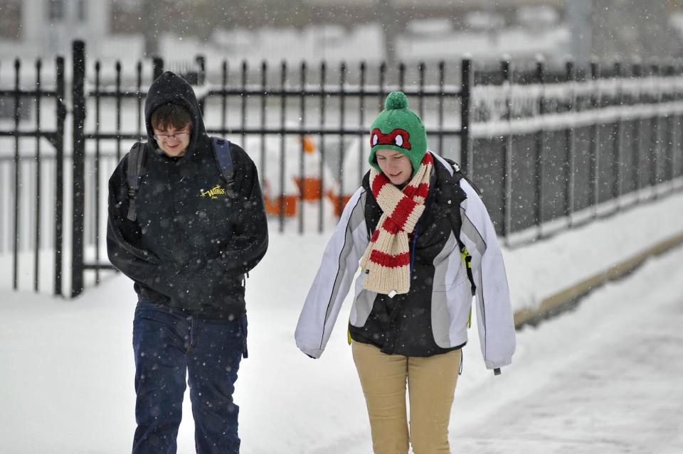
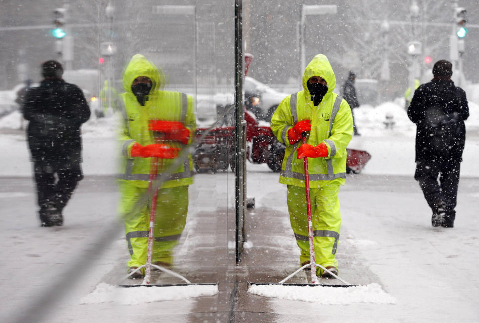
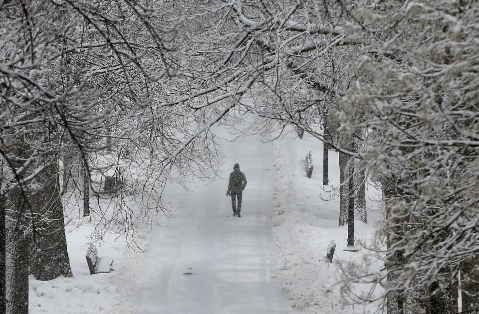
The latest storm came days after the Southeast and Northeast were paralyzed with heavy snow, ice and massive power outages. It dumped about a foot of snow in parts of northern New England. Heavy snow fell Tuesday afternoon and picked up in intensity as the evening commute began.
In New Hampshire, 12 inches of snow were reported in New Boston, and there were 10 in Nashua and other places. Nashua, one of New Hampshire's biggest cities, imposed a snow emergency, banning parking on streets until 5 a.m. Wednesday.
In Maine, nearly 10 inches of snow fell in Kennebunk, which is on the coast, and close to 9 fell in Portland, the National Weather Service said. In Vermont, 5.5 inches fell in Rochester. Parts of Massachusetts saw 10 or 11 inches.
There were no immediate reports of any major Northeast traffic messes caused by the bad weather, which was expected to move out late Tuesday and early Wednesday. New Hampshire reduced the speed limit on all of its highways to 45 mph.
Many schools in Vermont, New Hampshire and Maine canceled classes for the day or sent children home early.
School cancellations weren't an issue in Rhode Island, Connecticut and Massachusetts, where most schools have a February break this week, though the University of Connecticut canceled classes beginning after 2 p.m. at its Storrs and Greater Hartford campuses.
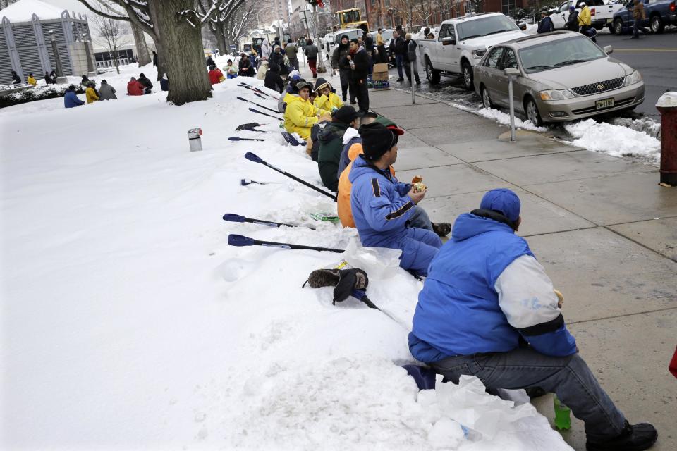
"I'm ready for it to end," said Bill Long, of Abington, Mass., as he waited in line for lunch at a Boston food truck. "It's a pain to come home from work and have to dig out my driveway."
On Monday, several inches of snow fell across the Great Lakes, causing Chicago's two airports to cancel more than 1,000 flights. The National Weather Service said moderating temperatures would result in snow melt and possible flooding in northern Illinois.
In Michigan, crashes closed portions of Interstate 96 in Grand Rapids and the Muskegon area saw whiteout conditions.
Last week, about 1.2 million utility customers lost power as the storm marched from the South through the Northeast. Schools, businesses and government offices closed. The storm was blamed for at least 25 deaths stretching from Texas to Maine.
