As wildfire blazes near Chico, red flag weather poses continued risk. Here’s the forecast
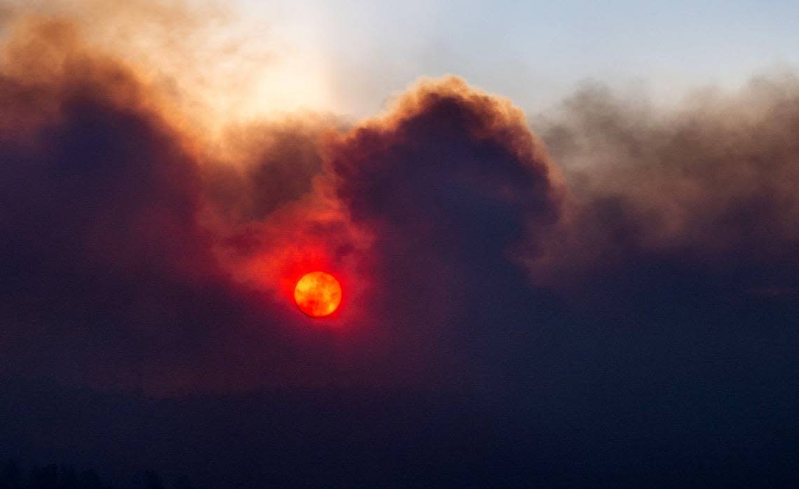
The National Weather Service issued a red flag warning for much of Northern California, including Butte and Tehama counties, areas where the Park Fire has burnt more than 45,000 acres in less than 24 hours.
The warning goes into effect at 1 p.m. Thursday and lasts through 11 p.m. Friday, the weather service said. According to Sara Purdue, a meteorologist with the weather service’s Sacramento office, breezy and gusty winds are expected throughout the day along the Sierra foothills and high basin in California’s extreme northeast, with low relative humidity during the day and into the night.
Temperatures in Chico on Thursday are expected to reach the low 100s, with winds from the south gusting as high as 22 mph. Purdue said the winds appear to have a “diurnal pattern,” meaning they are strongest in the afternoon and evening, but reduce overnight and pick back up the following day.
The red flag also covers most of the upper Sacramento Valley and includes Redding, Marysville, Yuba City, as well as high desert spots such as Susanville and Alturas.
In a spot forecast for the Park Fire, the weather service reported “critical fire weather conditions” are expected to continue through Friday, with wind gusts from the south at up to 30 mph continuing to fan the flames.
The Park Fire, which is already the state’s largest wildfire this year after it sparked Wednesday afternoon in Upper Bidwell Park, ballooned in size overnight and was 45,550 acres and 3% contained Thursday morning, Cal Fire’s Butte County unit said. Multiple evacuations are in place for homes northeast of Chico.
Saturday is expected to bring cooler temperatures, diminished winds and higher humidity. The high is forecast to be in the 80s, with humidity reaching 30%. Winds on the ridgetops are forecast to gust to about 15 mph.

