How do I find my wildfire evacuation zone in California? What to do in case of emergency
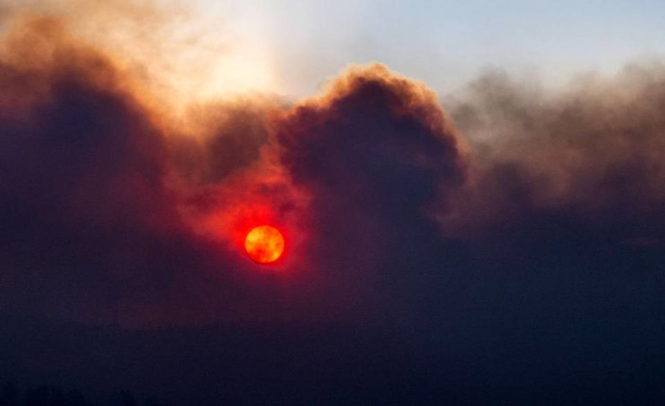
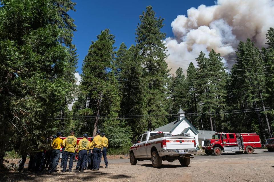
The Park Fire near Chico had scorched more than 71,000 acres as of Thursday afternoon, prompting evacuation orders and concerns about air quality in Northern California.
It’s one of several sizable wildfires burning across California.
Reader Beth Purrison, a Sacramento resident, asked The Sacramento Bee: “How do I find my fire hazard zone number? I tried Googling it without success.”
Here’s how you can find your area’s fire hazard information and what you need to do in case of emergency:

How do I find my fire hazard zone number?
In the case of a fire emergency,, Cal Fire will put out evacuation orders and warnings for fire hazard zones in its jurisdiction.
California residents can check the status of their area in fire emergencies by entering their address into the search bar of Genasys Protect to see which zone they are in and how they need to respond to Cal Fire’s instructions.
However, the map doesn’t include every county. Among those missing are Sacramento, El Dorado, Yolo and Placer counties, which have their own evacuation plans.
Why are some California counties not in zones?
Placer County is covered by the Cal Fire Nevada-Yuba-Placer Unit, Lt. Ty Conners, a Placer County spokesperson said. However, evacuation plans are decided in unified command with law enforcement and Cal Fire
Conners said Placer County does not have pre-zoning areas because local officials feel it is not the best way to deal with a fire in this area.
“We have good support on the GIS (geographic information system) component,” Conners said. “We have the capability of being more strategic when it comes to zoning.”
Placer County’s GIS “allows users to view, understand, question, interpret and visualize data,” according to the California State Lands Commission website.
“A fire dictates zones by its behavior and direction,” Conners said.
“Pre-zoning is great, but if a fire touches a small part of the zone, then the whole area gets an evacuation order even if there’s a big part that will not be affected,” Conners said. “A lot of people are getting displaced when they don’t have to be.”
Once a zone is created, Conners said Placer County residents registered on Everbridge will receive a Placer Alert if they need to evacuate.
All public safety agencies in Sacramento, Yolo and Placer counties have partnered with Everbridge to alert residents about emergency events and important public safety information.
In Sacramento County, spokesperson Matthew Robinson said fire responsibility falls on local law enforcement.
“The two fire departments coordinate on coverage for the unincorporated areas,” Robinson said in an email.
Rather than relying on state authorities, Robinson said the Sacramento Metropolitan Fire District and the Sacramento Fire Department take charge. Similar to Placer, Sacramento County makes its own zones.
The zone map includes:
Zone code
Zone name
Municipality
The Yolo County Office of Emergency Services has created a pre-planned evacuation zones map within the county to help the evacuation processes in case of a wildfire.
Emergency officials use the Yolo Alert Emergency Notification System to deliver information that is important and time-sensitive to residents in times of emergencies including wildfires.
Based on information provided on the El Dorado County Sheriff’s Office website, the county has its own evacuation orders map.
Is your home at higher risk for wildfires?
Cal Fire’sWildfire Hazard Severity Zone map was updated in 2022 to show the increase of fire danger in the state.
The state considers the following factors in order to categorize areas into “moderate,” “high” of “very high” fire risk:
Climate change
The increase in fires
Fire history
Flying embers
Estimated flame length.
The map is available to view online. Only areas under the state’s responsibility are included in the map, not federal or local territories.
What do you want to know about life in Sacramento? Ask our service journalism team your top-of-mind questions in the module below or email servicejournalists@sacbee.com.

