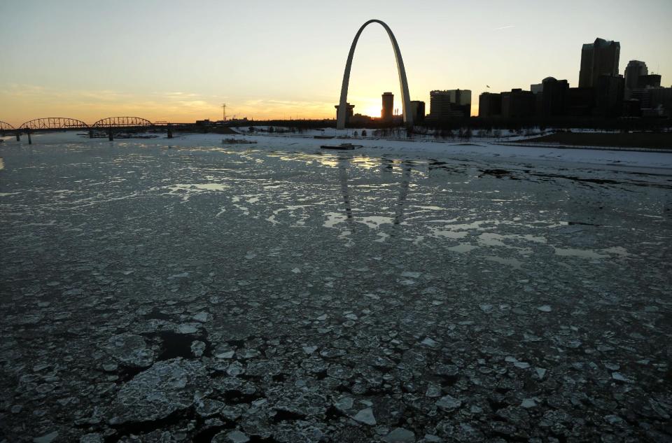
Warm West offsets cold East, makes average January
WASHINGTON (AP) — For those who shivered through January, this may be hard to believe: Nationwide, the average temperature for the month was about normal because a warm West offset a cool East.
January in the Lower 48 states was the 53rd coldest of 120 years of record-keeping, the National Oceanic Atmospheric Administration announced Thursday. The average was 30.3 degrees, only one-tenth of a degree below normal for the month.
While Alabama had its fourth coldest January on record, California and Alaska had their third warmest.
"The phrase, 'the new normal' definitely applies to our perception of January 2014 weather out east," Weather Underground meteorology director Jeff Masters said in an email. "We've gotten used to a warmer climate."
The frequent but not unusual cold winters of 30 years ago now seem "really extreme," he said.
Nationwide, it was the fifth driest January on record. New Mexico had its driest January, Arizona had its second driest and California, its third.
And even though it seemed like it snowed a lot in the East, the snow on the ground in January in the Lower 48 was the 16th smallest in 48 years of record-keeping by the Rutgers University Global Snow Lab. Snow cover was above average in the Northern Plains, Midwest and Northeast but below average in the Rockies and the West.
Nearly every state, from Missouri and Iowa to the East, had a much cooler than normal start of the year. Nearly every state from Colorado and Wyoming west had a much warmer than normal January.
That's because starting in January and stretching through early February, the jet stream plunged due south in an unusual and persistent pattern that brought bone cold temperatures to the east of the big dip and dry warm weather to the west of the plunge, said Rutgers University climate scientist Jennifer Francis. The jet stream is a river of air that normally runs more west-to-east around the top of the globe and is intricately connected to weather patterns.
The odd jet stream has meant a stormy and wet winter for Great Britain, unusual warmth for Olympics host city Sochi, Scandinavia, Alaska and the rest of the Arctic region, Francis said.
It is not connected to the nor'easter in the South and East this week, she added.
But Francis, Masters and other meteorologists said the jet stream is finally becoming unstuck. The National Weather Service is predicting that the next couple weeks will bring warmer than normal temperatures for the East and Midwest.
As he was shoveling snow in suburban Washington Thursday, NOAA climate prediction center deputy director Mike Halpert said he told neighbors he had good news and bad news.
The bad news: Maybe another inch or two of snow was coming overnight. The good: Temperatures next week would be in the 50s and maybe, just maybe, an end to the big storms for the season.
__
Online:
NOAA's January climate report: http://www.ncdc.noaa.gov/sotc/national/2014/1
___
Seth Borenstein can be followed at http://twitter.com/borenbears


