2 to 4 feet of snow forecast for Oregon mountain passes as spring break ends
The National Weather Service has issued a winter storm warning for the northern Cascades and the Cascades in Lane County due to heavy snow forecast Friday night through Sunday night.
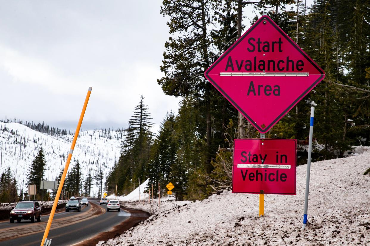
Elevations above 1,500 feet are expected to get 1 to 2 feet of snow and elevations above 3,000 feet are expected to get 2 to 4 feet in places such as the Santiam Pass (Highway 20), Willamette Pass (Highway 58) and in the Government Camp area (Highway 26), forecasters said.
Wind gusts up to 40 mph also are anticipated and patchy blowing snow could reduce visibility.
"Travel could be very difficult," the NWS said in a winter storm warning. "Those with recreation plans in the Cascades this weekend should prepare for peak winter conditions."
Those who must travel through the Cascades should have an extra flashlight, food and water, the National Weather Service said.
The snow is expected to start falling from 8 p.m. Friday to 11 p.m. Sunday night.
Forecasters said they expect snow levels will drop Friday night from around 3,000 feet to 1,000 feet behind a cold front. While the heaviest snow will be above 1,500 feet, it is possible that snow will accumulate as low as 500 feet.
"Snow levels will remain unseasonably low through Monday," the winter storm warning said.
Makenzie Elliott covers breaking news and public safety for The Register-Guard. Reach her at MElliott@gannett.com. Find her on Twitter at @makenzielliott.
This article originally appeared on Register-Guard: Heavy snow Oregon mountain passes Santiam Willamette Mount Hood travel

