After 2.5 inches of rain, tropical-storm-force gusts possible in Savannah area Thursday
A weather system that fueled severe storms across the Deep South this week dumped nearly 2.5 inches of rain on the Savannah area Thursday ahead of a cold front expected to whip up high winds.
The National Weather Service has issued a Wind Advisory for coastal Georgia and the South Carolina Lowcountry until 8 p.m. Thursday, with tropical-storm-strength gusts possible.
"Tree limbs could be blown down and result in a few power outages,” the NWS Charleston Office warned. “Winds will also make travel difficult, especially on bridges and overpasses.”
Wind speeds in some coastal areas could reach as high as 45 mph.
Savannah experienced its heaviest downpours Thursday between 5 and 6 a.m., when more than 1 inch of rain was recorded at Hunter Army Airfield.
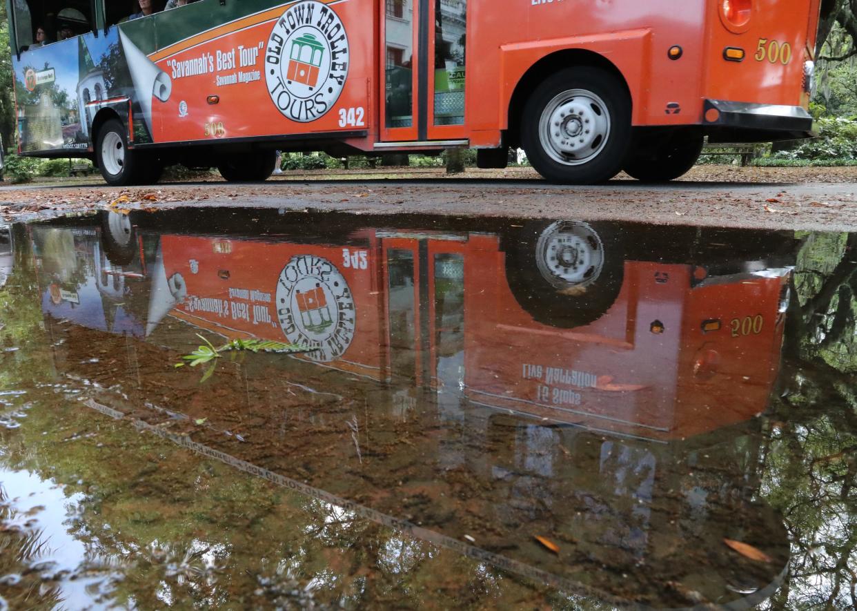
Minor flooding was reported in the “usual low-lying hot spots” that typically experience poor drainage, Savannah spokesman Josh Peacock said.
As winds increase Thursday, breaking waves as high as 6 feet are likely at area beaches and dangerous rip tides are possible, according to NWS.
Off the coast, seas are expected to peak in the 7-to-10-foot range.
There is a slight chance of more rain through about 11 p.m. Thursday, with blustery conditions continuing overnight.
Skies will clear by Friday morning, setting the stage for a sun-splashed weekend. Forecast highs are 75 degrees Friday, 78 degrees Saturday and 82 degrees Sunday.
John Deem covers climate change and the environment in coastal Georgia. He can be reached at jdeem@gannett.com
This article originally appeared on Savannah Morning News: Savannah could see tropical-storm-strength gusts after deluge

