2021 will close with more snow and sub-zero lows in St. Cloud area
The last week of 2021 will be marked by more snow, single-digit high temperatures and potentially dangerous wind chills in the St. Cloud area.
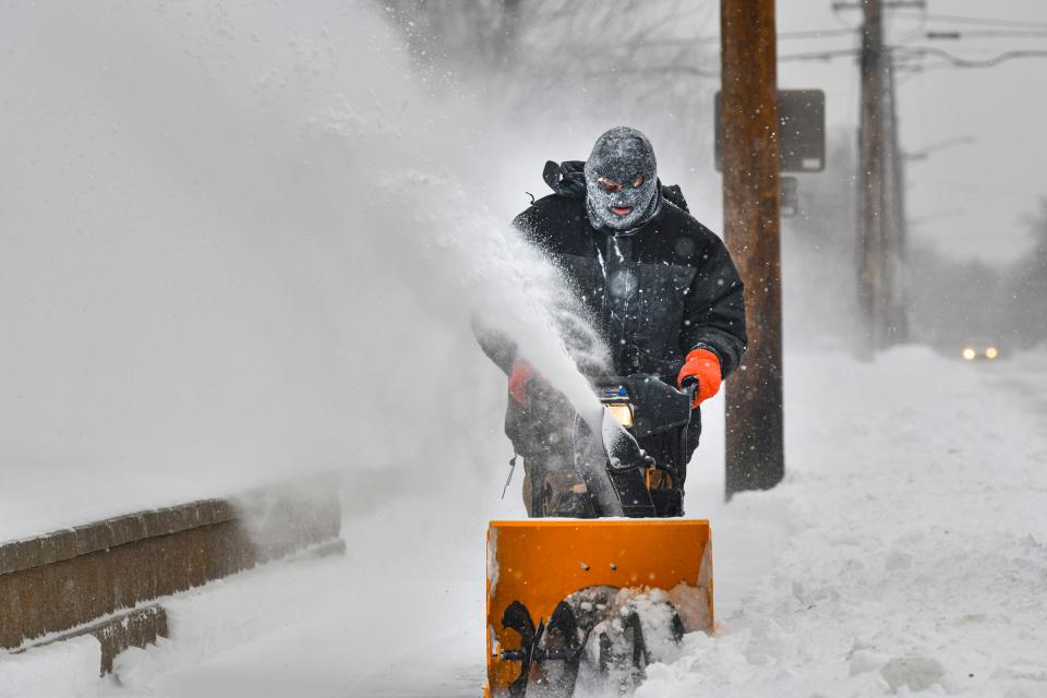
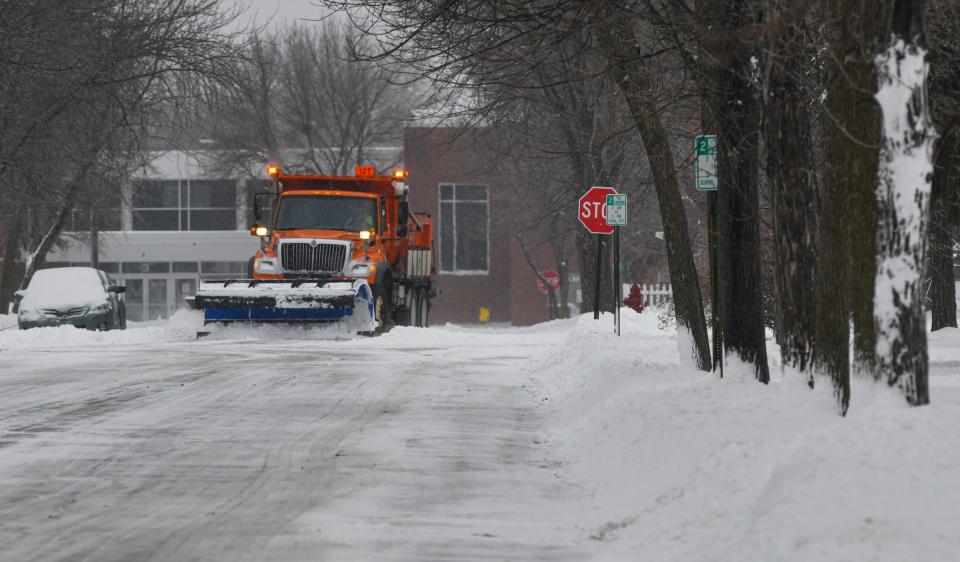
By early Monday morning, National Weather Service reports show between 3 and 4.5 inches of snow fell within the last 24 hours around the St. Cloud metro area.
Double-digit high temperatures Monday and Tuesday will transition to single-digit highs for the remainder of the week, with overnight lows below zero.

There's snow forecast for Tuesday, mainly after 10 a.m. with the possibility for 1 to 3 inches. Tuesday night, there's a 50% chance of snow with a wind chill as low as -15 degrees and an actual low of -6.
Starting midweek, wind chill colder than -20 degrees are expected. The high temperature on Wednesday is near 4, according to the weather service.
There's a smaller chance for the snow to return again Thursday, Friday and Saturday. The high temperature for New Year's eve is expected near 6 degrees, and on New Year's Day, the high will be near 1 degree.
New Year's holiday week forecast:
Tuesday: 90% chance of snow with 1-3 inches expected by 4 p.m. High near 17. Overnight low around -12. Wind chill values as low as -25.
Wednesday: Mostly sunny and cold, with a high near 5. West wind at 5 mph. Mostly cloudy overnight, with a low around -7. Calm wind.
Thursday: A 30 percent chance of snow after noon. Mostly cloudy with a high near 11. Overnight low around -7.
New Year's Eve: Partly sunny with a high near 9. 20% chance of snow in the evening with a low around -7.
New Year's Day: A 20 percent chance of snow. Mostly cloudy with a high near 0 and an overnight low of -19.
Sunday: Sunny and cold, with a high near 2.
This article originally appeared on St. Cloud Times: 2021 will close with more snow and sub-zero lows in Central Minnesota

