Advocates urge Pensacola officials to study flooding problem areas FEMA maps miss
The city of Pensacola is in the early stages of investigating whether it could produce maps of flood-prone areas through a program similar to one in Santa Rosa County that has been successful for years.
Healthy Gulf, an organization that advocates for protecting natural resources, is advocating for local governments to take actionable steps to increase resiliency using data collected in the year since Hurricane Sally struck in September 2020. The organization recently released a series of recommendations, including urging Pensacola to create the mapping system.
City of Pensacola spokeswoman Kaycee Lagarde said the city is too early in determining the feasibility of the system to speak publicly about it. However, in an email to Christian Wagley, Florida/Alabama coastal organizer with Healthy Gulf, Mayor Grover Robinson said the city would begin work on trying to replicate Santa Rosa County's system.
The maps would work by collecting data from residents and entities, including public works, roads and bridges, to give an additional tool to understand how flooding and drainage issues change over time and impact neighborhoods beyond those directly adjacent to waterways, Wagley said.
► A year after Hurricane Sally, Bristol Park neighborhood changed by impact
► Repairs to Sally-damaged Pensacola Beach Fishing Pier move ahead with design contract
"If you're not in a FEMA flood zone area, you have no official notification and maybe you'd find out (your house could flood) by asking neighbors or doing other research, but this would provide another resource to understand a neighborhood's flood history," Wagley said.
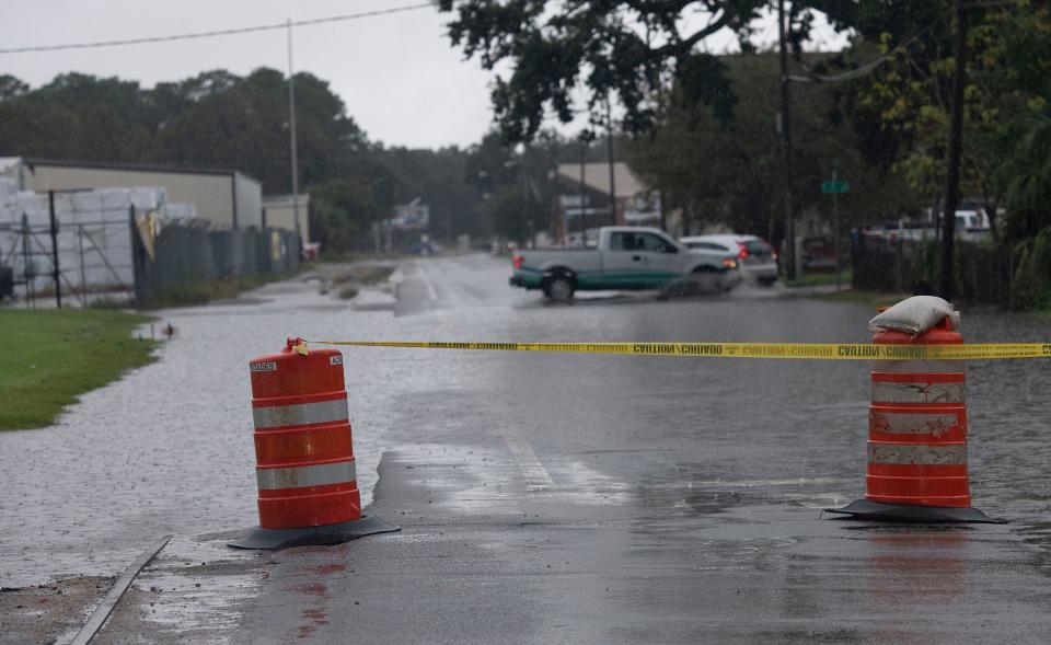
Federal Emergency Management Agency flood maps — which are in the process of being revised in Escambia and Santa Rosa counties — give properties classifications based on their flood risk, but officials say they don't always tell the full story and are not updated often enough to be relied upon solely.
Some streets or neighborhoods, for example, often experience flooding during strong storms but they aren't classified as a FEMA flood zone.
Santa Rosa County implemented its flood trouble map system in 2018 and is now at the stage of having gathered enough reliable data to be consistently making recommendations and processes based on what they've found.
Santa Rosa County GIS coordinator Tanya Gallagher said the software logs citizen data such as street or house flooding and maintenance work on county assets like culverts, retention ponds and rights of way to prioritize future work and generate solid data to present to the county's administration team.
"It's almost like predictive analysis because it covers everything from flooding to potholes on streets to right of way mowings, so it's any sort of asset that's a county asset," Gallagher said. "We have more localized flooding that may not be captured in those broader flood zone areas so it's good to be able to overlay that data."
Santa Rosa County's floodplain manager, Karen Thornhill, said due to privacy laws, residents aren't able to zero in on a particular house to see its flooding issues, but they can determine if the street has had flooding problems and see if any permits were pulled on a home after storms that would indicate damage to a particular home.
Thornhill said flood insurance is available to everyone but often only those in FEMA flood zones opt in, so having access to neighborhood specific information like this helps residents make an informed decision about their flooding risk.
"Risk is everything and when you're finding a house or looking for one built, you want a place with the least risk," she said.
Also in Healthy Gulf's post-Sally recommendations were for each jurisdiction — Escambia and Santa Rosa counties and the city of Pensacola — to consider eliminating funding for new development in flood-prone areas and conduct a more detailed analysis of Hurricane Sally's damage to areas of high social vulnerability.
Emma Kennedy can be reached at ekennedy@pnj.com or 850-480-6979.
This article originally appeared on Pensacola News Journal: Healthy Gulf urges Pensacola to map flood problem areas FEMA maps miss

