New airborne radar planned to improve weather forecasts on land and sea
Corrections & Clarifications: This story has been updated with a corrected list of development partners provided after publication.
After every major weather disaster, such as the overnight explosion of Hurricane Michael in 2018, the same questions arise around how much the forecast might have benefited from better information about the storm before it arrived and why it's sometimes so hard to forecast surprises in the clouds.
In what officials say will be a great leap forward in answering these types of questions and providing more precise forecasts, the National Science Foundation is putting $91.8 million toward helping the long-term development of a new, advanced radar system. The radar would take a closer look at what’s happening deep inside those clouds and storms before they arrive. That could include crucial moments when rain, hail, snow and tornadoes are forming, as well as tropical cyclones.
Here’s what the Science Foundation had to say about the radar:
What is it?
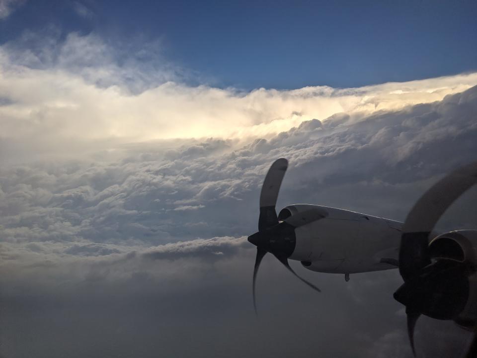
The Airborne Phased Array Radar, a state-of-the-art radar to be attached to the outside of an aircraft and flown over land and ocean. Once complete, the radars will be added to aircraft at the NSF and NOAA.
Why do it?
"The increasing severity and frequency of tropical storms and extreme precipitation events due to climate change are causing unprecedented threats to society," the science foundation said in a news release. The information also could help weather forecasters "tasked with keeping people safe."
Who will participate in development?
Scientists and engineers from the National Center for Atmospheric Research, Colorado State University, State University of New York (SUNY) Stony Brook, University of Massachusetts Amherst, and the University of Oklahoma.
What will it do?
Collect “high-resolution measurements in space and time”
Identify whether storms are carrying raindrops, hail, sleet or snow
Record the birth and development of severe storms, including dramatic intensity changes and eyewall formation in hurricanes.
Advance signal processing techniques to harvest and analyze the immense volumes of data
What will the data be used for?
Help researchers improve the models used to forecast weather
Help better predict sudden changes in tropical storm intensity
Test predictions about severe weather, including tropical cyclones, tornadoes, damaging straight-line winds, hail, and flash flooding.
When will the radars be ready to fly?
The plan is to have the new radar array on the science foundation's C130 in 2028, then add additional systems on NOAA planes after 2030.
What do the partners say?
NOAA Administrator Rick Spinrad called it "a transformative leap."
"Having this radar capability is critical to our mission," said Rear Admiral Nancy Hann, director of the NOAA's Marine and Aviation Operations.
"It's going to provide a technology and a capability to see never before observed details of storms," said Linnea Avallone, chief officer for research facilities at the Foundation. "We’re developing a tool that will help us understand why storms are becoming more severe more frequently."
This article originally appeared on USA TODAY: New airborne radar being developed to improve weather forecasts

