Alisal fire: Road closures, evacuations, shelters, progress report
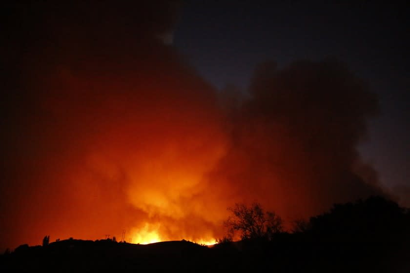
The Alisal fire is burning north of Santa Barbara and already has consumed more than 13,000 acres.
Here are the basics:
Evacuation orders
Refugio Canyon including Arroyo Hondo, Tajiguas and Arroyo Quemada; El Capitan State Park and the El Capitan Campground.
Evacuation warnings
The area north of El Capitan Campground and east to Dos Pueblos Canyon.
Road closures
The 101 Freeway remains closed between Highway 1 and Winchester Canyon Road/Cathedral Oaks in both directions.
Shelters
An evacuation center where residents can go for information has been
established at the Dos Pueblos High School upper parking lot at 7266 Alameda Ave. in Goleta.
Earl Warren Showgrounds has been established as an evacuation center for large animals. For assistance, call (805) 681-4332.
Updated perimeter of the alisal fire is all so on the wifire map and the firemappers map pic.twitter.com/EqNA6wZew2
— Daniel R schulte (@Danielschulte8) October 12, 2021
Fire activity
The Alisal fire started at 2:30 p.m. near the Alisal Reservoir, fire officials said. Strong winds pushed the fire south toward Tajiguas Landfill and the 101.
Spreading flames prompted officials to shut down the 101 between Pacific Coast Highway and Winchester Canyon/Cathedral Oaks Road around 5:30 p.m., according to the Santa Barbara County Sheriff’s Office.
The fire eventually crossed the freeway and made its way to Tajiguas Beach, fire officials said.
Conditions
Much of Santa Barbara County remained under a high wind warning until Tuesday morning, officials said.
Those winds also have prevented aircraft from taking a more active role in fighting the fire. Although ground crews were in place, the high winds prevented aircraft carrying water or flame retardant from taking off.
This story originally appeared in Los Angeles Times.

