America freezes over: Bomb cyclone threatens Texas, Florida, Illinois and more
A dangerous “bomb cyclone” will sweep the United States in the coming days and create travel misery for millions over the festive holidays.
The National Weather Service (NWS) is predicting heavy snow, icy conditons, flooding, strong winds and even a few tornadoes from Thursday until Christmas Eve from the east coast to the Plains and Midwest, swiftly followed by a blast of Arctic air. Nearly 70 million people were placed under winter storm watches or warnings.
The severe weather is being described as a “bomb cyclone” as it’s expected to undergo a process called bombogenesis -- when a storm rapidly intensifies over 24 hours.
NWS’s Buffalo office warned of a “once-in-a-generation storm” which will produce high winds east of Lake Ontario from Thursday night into Friday morning, then over a larger region from Friday into Saturday.
They warned that possible 65mph winds would cause at least scattered power outages if not widespread outages.
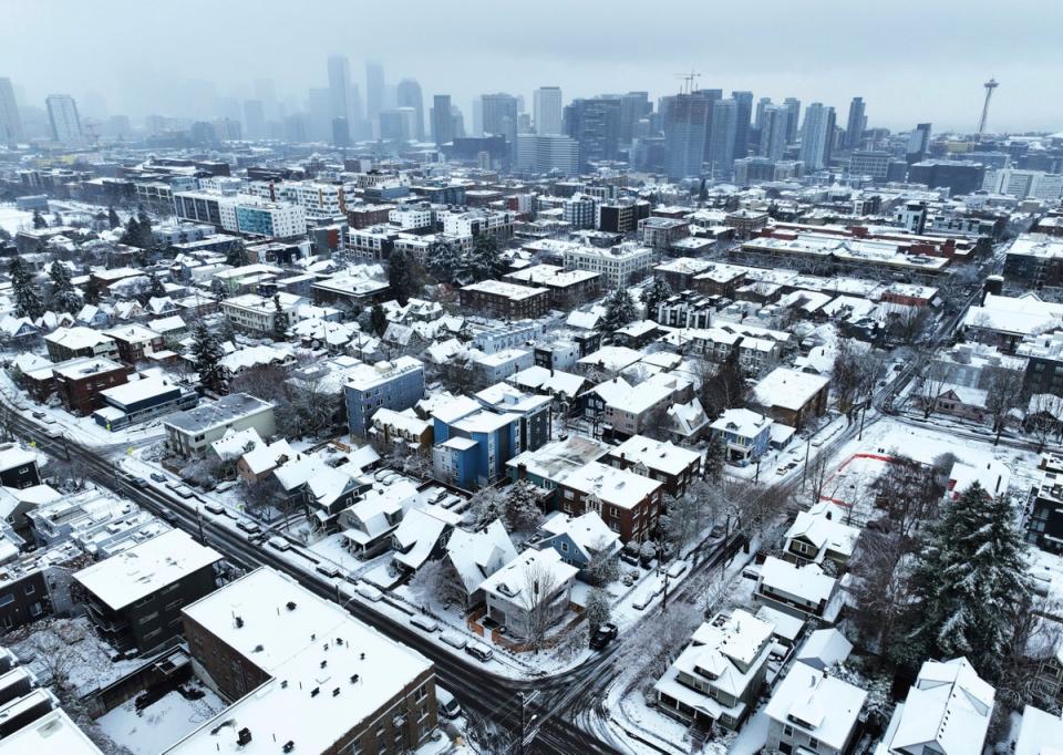
The Pacific Northwest was hit with freezing temperatures on Tuesday, and the cold weather will shift over the mountainous Rockies before settling into the Plains. The Midwest and Great Lakes are expected to see heavy snowfall and blizzard conditions.
The city of Chicago, Illinois - home to the busy transport hubs of O’Hare and Midway airports - is expected to get a large dump of snow.
Even typically balmier climes won’t escape the cold snap with the Arctic front stretching as far south as Texas and Florida, where they may see lows in the teens.
“Extremely dangerous travel conditions” are likely for the next few days, the NWS said, impacting both road and air travel.
Driving will be treacherous with heavy snowfall of 1-2 inches per hour at times. Accompanying wind gusts of over 50mph will result in zero visibility and blowing and drifting snow.
“With such a large and powerful storm system impacting a majority of the nation during one of the biggest travel weeks of the year, it is imperative that travelers check the latest forecast before venturing out,” forecasters warned.
On Wednesday morning, 18 flights had been cancelled and 483 were facing delays in the US, according to the FlightAware monitor’s “Misery Map”.
Some of the country’s biggest carriers including United and Southwest had issued travel advisories by Wednesday morning.
The strong winds could also lead to potential power outages and tree damage from the Midwest to the Northeast. There will be flooding risk on Friday on the east coast as heavy rain falls onto a melting snowpack.
There were concerns surrounding the Texas power system after the grid collapsed during Winter Storm Uri amid a brutal deep freeze in February 2021. ERCOT, which is responsible for 90 percent of Texas’s electric load to 26 million customers, said it was “closely monitoring weather conditions” in a press release.
A once-in-a-generation storm will produce high winds east of Lake Ontario Thursday night into Friday morning, then over a larger coverage of our region Friday into Saturday. Winds could gust over 65 mph, leading to at LEAST scattered power outages, if not widespread outages. pic.twitter.com/g5EXx1TVNf
— NWS Buffalo (@NWSBUFFALO) December 21, 2022
Temperatures nearing minus 20 and minus 30 degrees Fahrenheit will enter into the northern Great Basin, northern Rockies and much of the Great Plains by Thursday.
There will be widespread wind chill of around minus 40F throughout the central and north-central US, a life-threatening cold that can lead to frostbite on exposed skin in just ten minutes.
The heaviest snowfall amounts are expected at high elevations in the Cascades and into northern Idaho, northwest Montana, and western Wyoming. These regions will have the best chances for over a foot of snow.
The greatest chances for over eight inches of snow will be across states that surround Lake Michigan.
Across parts of the central Appalachians, cold air could allow for some snow, sleet, and freezing rain.
While the science behind Arctic air diving far south is complex, studies suggest that cold spells may become more likely, according to ClimateNexus. Rapid warming in the Arctic due to the climate crisis appears to be playing a role in disrupting the polar vortex.

