Another atmospheric river threatens California with extreme weather
A heavy rainstorm system dubbed an “atmospheric river” is set to hit Southern California on Monday, the third such extreme weather event this month.
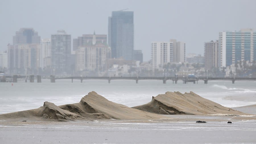
Almost the entirety of the Southern California coast, from the Mexican border to Oxnard, is under a flash flood warning Sunday in preparation for the storm, with another band of heavy rain that could also cause flash flooding near Monterey and the Central Valley, according to the National Weather Service (NWS) forecast.
As much as 3 to 5 inches are projected for the southern portion of the state, risking flooding and landslides in an area that was hammered by two back-to-back storms in early February.
Those twin “atmospheric rivers” brought record-setting rainfall to much of the state, nearly overflowed the Los Angeles River and caused widespread rainwater damage.
The “severe” risk of flooding will stay in place until Wednesday, according to the NWS, with wind advisories also in place across most of California warning of 45 to 55 mph gusts.
The worst of the storm is expected to pass by early Tuesday, but forecast instability could see additional rain late that day and Wednesday.
Forecasted rain totals are lower than those of the storms earlier this month, but they still present a danger to residents, NWS said.
“Debris flows, mudslides, landslides, and swift water rescues could happen just about anywhere,” the agency cautioned.
The weather service has also warned of the potential risk for tornados near Sacramento, a rare alert for the Golden State. Sacramento, Stockton and Modesto are within the NWS forecast area for low tornado risk — between a 5 and 9 percent chance of a tornado — on Monday.
The storm is also expected to bring heavy snow to the Sierra Nevada mountains, as much as 5 feet in some regions, in addition to as much as 3 feet of snow in certain parts of the San Gabriel range near Los Angeles.
For the latest news, weather, sports, and streaming video, head to The Hill.

