An atmospheric river is headed to California. How hard will it hit SLO County?
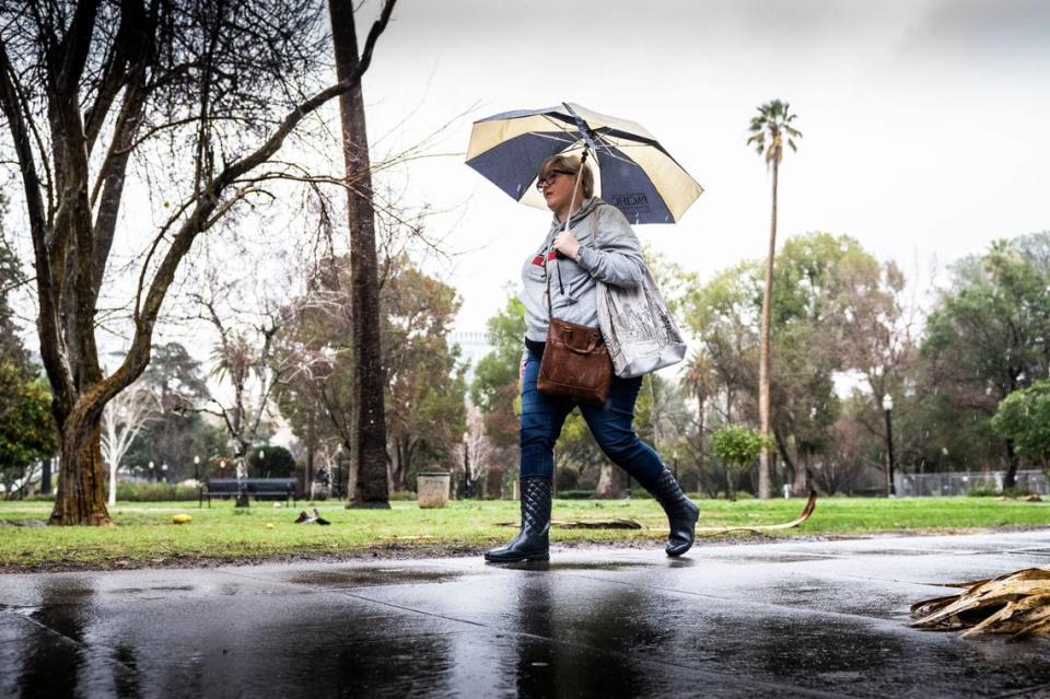
An atmospheric river is expected to bring heavy rain, powerful winds and snow to the West Coast starting next week, including across California and down to the Central Coast.
Residents across the state should prepare for above-normal amounts of precipitation from Jan. 30 to Feb. 5, according to the National Weather Service’s Climate Prediction Center.
Forecasts show there is a high risk of localized flooding and landslides with heavy rain across the state and snow in the Sierra and Klamath ranges.
“As most systems we’ve had this winter, the further north you go, you can expect to get a little bit more rain,” said Jeffery Wood, a meteorologist with the National Weather Service’s office in Sacramento.
High winds are also expected.
Cory Baggett, a meteorologist with the Climate Prediction Center, said gusts could reach 30 to 35 mph or higher.
“We’re anticipating there’ll be wind advisories issued along the coast for this event,” Baggett said.
An Atmospheric River Event Likely to Impact the West Coast next Week with Heavy Precipitation and High Winds pic.twitter.com/H3BmgYsDGe
— NWS Climate Prediction Center (@NWSCPC) January 22, 2024
What is an atmospheric river?
An atmospheric river is a wet weather pattern that carries a stream of water vapor from the tropics, according to the National Oceanic and Atmospheric Administration.
When these so-called “rivers in the sky” make landfall, they can drop substantial amounts of rain and snow.
“This atmospheric river would be more impactful for the Pacific Northwest states” including Washington state and Oregon, Wood said.
But it will reach California as well.
How much rain is expected?
While it’s too early to predict exact rainfall totals, Baggett said, the Climate Prediction Center is forecasting a 60% or higher chance of heavy precipitation.
“The heavy rain will work southward as the week progresses,” Baggett said. “It will start along the California border with Oregon and move southward as the (atmospheric river) event progresses, bringing the heavy rain with it.”
In California’s Central Valley, residents can expect storms similar to what they’ve seen over the past few weeks, Wood said.
The Sacramento area could see about an inch to an inch and a half of rain between Jan. 31 and Feb. 3, he said.
“This could be above average in terms of rainfall in the Valley,” he explained.
Areas farther north, ranging all the way to Shasta, could see more precipitation during the same time period, as much as an inch and a half to three and a half inches of rain, he said.
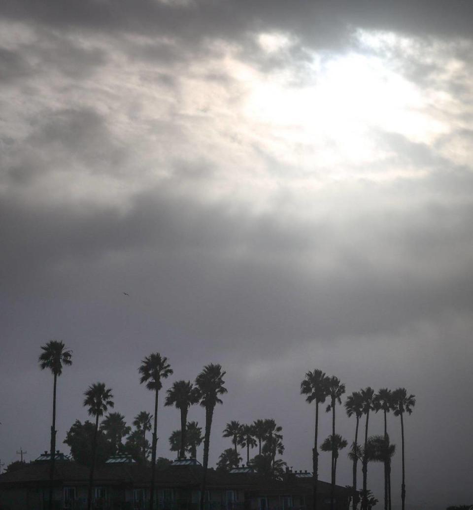
The Central Coast, which includes San Luis Obispo and the Monterey Bay area, could see half an inch to about four inches of rain.
In Southern California, where widespread floods devastated San Diego this week, Wood said early forecasts indicate lower rainfall totals.
Up to 4 inches of snow is expected in the Sierra this week, but early forecasts from the weather service in Reno, which covers the Tahoe region, show warmer conditions through the end of January. The “next shot” at precipitation begins Tuesday, according to the latest Sacramento weather forecast discussion.
What will temperatures be like?
According to weather outlooks from the Climate Prediction Center, temperatures for most of California are expected to be above normal from Jan. 29 to Feb. 2.
Forecasts for Jan. 31 to Feb. 6 indicate that temperatures for California will be near normal.
Temperatures are expected to cool down as the days progress, Baggett said.
“Once you get high enough in the Sierra and Klamath mountains, it should be cold enough for snow in those regions,” he said.
“High pressure will bring dry and warmer conditions through the end of January,” the National Weather Service’s Reno office said on Tuesday. “Wetter conditions may return for early February.”
During the first week of February, “more active weather” is expected to return to the eastern Sierra and western Nevada, the agency said, with a 70% to 80% probability of wetter-than-average conditions in the forecast.
A small portion of Southern California will see below-normal temperatures, Baggett said. which is typical with atmospheric rivers.
What do you want to know about life in Sacramento? Ask our service journalism team your top-of-mind questions in the module below or email servicejournalists@sacbee.com.

