Avalanche watch issued for Tahoe area. Here’s when it’s in effect — and what to expect
An avalanche watch will go into effect for parts of the Sierra Nevada this weekend, just days after a snow flow killed one man and injured three others at one of the Sierra Nevada region’s most popular ski resorts.
The Sierra Avalanche Center in Truckee issued a backcountry avalanche watch Friday for the greater Lake Tahoe area, the National Weather Service said, predicting a “period of high avalanche danger.”
“New snowfall combined with gale-force winds will load already problematic weak layers buried in the snowpack and may result in widespread avalanche activity in the mountains,” the weather service said. “Large avalanches could occur in a variety of backcountry areas.”
The area will also be under a winter storm warning this weekend, the weather service said.
When is avalanche watch in effect for Lake Tahoe?
The backcountry avalanche watch will be in effect from 7 a.m. Saturday to 7 p.m. Sunday, the National Weather Service said.
What areas are affected?
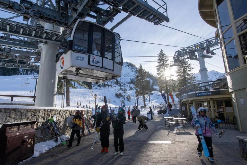
The avalanche watch covers the central Sierra Nevada mountains between Yuba Pass on Highway 49 on the north and Ebbetts Pass on Highway 4 on the south, including the greater Lake Tahoe area.
This does not include ski areas and highways where “avalanche mitigation programs exist,” the weather service said.
What about the winter storm warning?
On Thursday, the National Weather Service upgraded its winter storm watch for the greater Lake Tahoe area to a winter storm warning.
The warning will go into effect from 1 a.m. Saturday to 4 a.m. Sunday.
Areas affected by the warning include the cities of Stateline, South Lake Tahoe, Tahoe City, Incline Village, Truckee, Glenbrook and Markleeville.
A warning suggests life-threatening conditions, the weather service said, while a watch is issued before the storm and indicates dangerous winter conditions.
The weather service predicted “heavy snow” as well as wind gusts as high as 40 mph at lower elevations and 95 mph along Sierra Nevada ridges.
“Roads, and especially bridges and overpasses, will likely become slick and hazardous,” the weather service warned. “The hazardous conditions may impact the weekend ski commutes.
Where have avalanches hit in Tahoe area?
An avalanche occurred Wednesday morning above the GS gully area of KT-22 lift at Palisades Tahoe ski resort, according to the Placer County Sheriff’s Office.
Officials said the debris field — roughly 150 feet wide, 450 feet long and 10 feet deep — swept away four skiers, including Kenneth Kidd, 66.
Kidd, a resident of both Point Reyes and Truckee, was taken to a hospital Wednesday, where he was pronounced dead.
Another avalanche, on the Alpine Meadows side of the Palisades Tahoe, occurred Thursday afternoon in the Wolverine Bowl area. No one was injured or reported missing, according to a previous Sacramento Bee story.
“The number of avalanches triggered in the past 24 hours shows that these layers have been brought to a breaking point,” Brandon Schwart, lead forecaster with the Sierra Avalanche Center, wrote Friday in a backcountry avalanche forecast.
“Backcountry travelers can expect avalanches failing 2 to 6 feet deep in the snowpack,” he added.
The weather service warned folks to stay away from avalanche-prone areas.
“Traveling in, near or below backcountry avalanche terrain is not recommended during high avalanche danger,” the weather service said.
What do you want to know about life in Sacramento? Ask our service journalism team your top-of-mind questions in the module below or email servicejournalists@sacbee.com.

