Bare mountains: Paltry Sierra Nevada snowpack signals slow start for California water needs
As ski bums and snowboarders already know well, the Sierra Nevada has seen little snow this winter. California’s water agency confirmed it Tuesday, reporting that the state had only 25% of its average snowpack for this time of year.
It marks the worst start to a California wet year in a decade and a stark contrast to last year, when record-setting rain and snow blanketed the state. Without more snow in the coming weeks, water officials say they will grow concerned about drought implications.
“It’s not quite time to panic yet,” said Andrew Schwartz, lead scientist at the UC Berkeley Central Sierra Snow Lab. “You could look at the next few weeks as a turning point. If we have these next few storms, but then it’s dry after that, it’s really going to be a problem.”
Not only does the state rely on mountain snowpack to melt into roughly a third of its water supply in reservoirs, but it also helps protect against devastating wildfires in the dry, hot months in summer and fall.
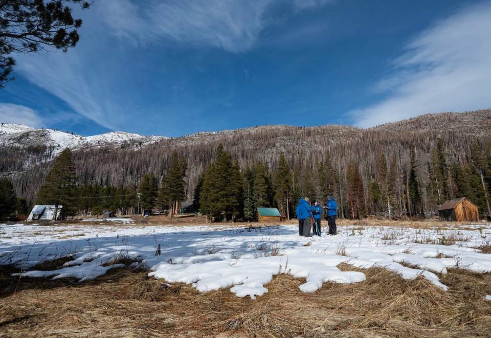
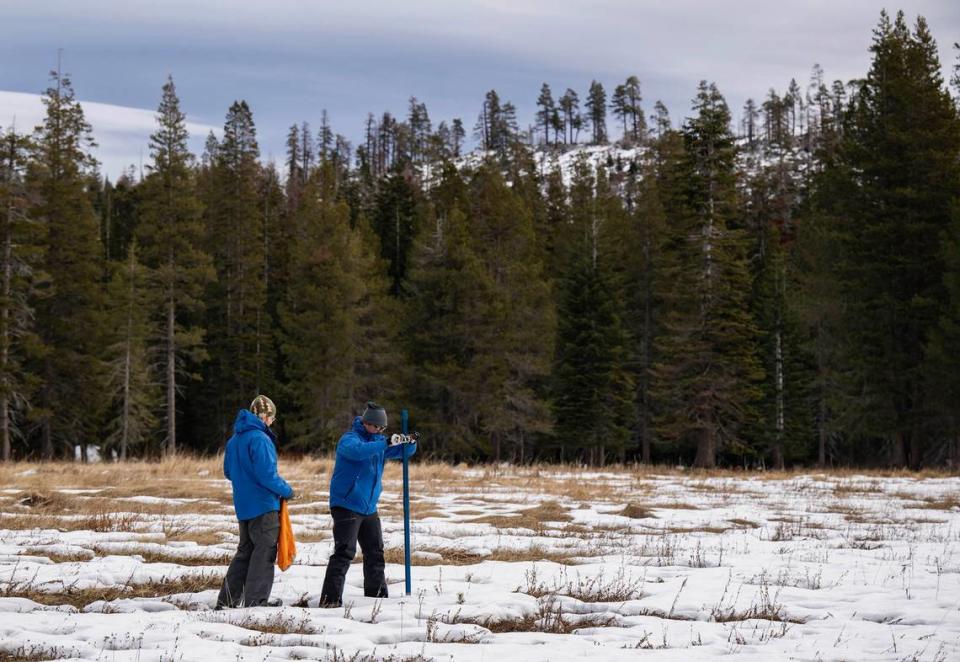
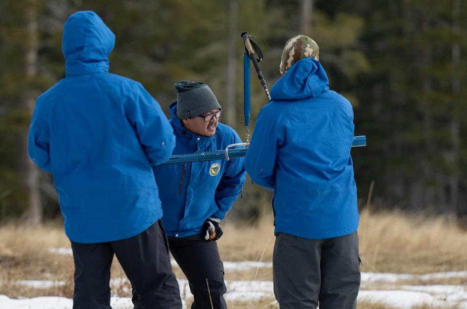
The results of the California Department of Water Resources’ first survey of the water year, which began Oct. 1, showed the snowpack at 19% of normal in the southern Sierra, 27% in the central Sierra and 28% in the northern Sierra. The percentages are calculated using the snow-water equivalent across the state’s network of 130 gauges.
Schwartz said if this year’s wet season does not pick up, very little snow will melt into reservoirs and replace what Californians are currently using. A continuation of the meager snow season, he said, could put the state back into drought as soon as this summer.
“It’s hard to even imagine that, especially when we were 300% of average last year,” Schwartz said. “But it’s very problematic when we don’t have snowpack to replenish reservoir water because we’ve based our whole water system around having it.”
The average snow-water equivalent statewide was reported at 2½ inches of water, down from 17½ inches at the same time in 2023, or 185% of the average for that time of year, according to DWR officials.
At Phillips Station in El Dorado County, officials said the water content was 3 inches for a snow depth measuring 7½ inches — about 30% of average. That was a fraction of the snow-water equivalent seen a year ago when Phillips Station was measuring 177% of average.
While most California ski resorts are open, most appear to have several lifts closed and are relying on artificial snow. Winter storms are forecast for the high Sierra through Thursday, followed by another dry pattern.
The meager start to the snow year follows one of California’s largest snowpacks ever measured after a series of storms brought statewide levels to 237% of normal statewide in April.
“While we are glad the recent storms brought a small boost to the snowpack, the dry fall and below average conditions today shows how fast water conditions can change,” said Sean de Guzman, who leads DWR’s snow surveys. “It’s still far too early to say what kind of water year we will have.”
This year’s first measurement was the worst since 2014, when state water officials measured the water content at just 19% of average across the mountains.
Last year’s snowpack can still be seen in the state’s major reservoirs, which remain slightly more full than historic averages, at 116% of capacity.
As of Tuesday, Oroville Reservoir, the state’s main water bank, stood at 68% total capacity; the federally-controlled Shasta Lake reservoir measured 69% while Folsom Lake on the American River was at 48% capacity.
Scientists have warned that California is experiencing a long-term depletion of the snowpack. Just like years of more extreme wet and dry years, less snow is a symptom of climate change as fossil fuel emissions warm global temperatures.
Some have raised concerns of the way California measures snowpack data. By including additional stations irregularly and changing the normal baseline, a Mercury News analysis concluded that state numbers may be artificially inflated and mask long-term declines.
State climatologist Michael Anderson said El Niño conditions have led to warmer weather and more rainfall this winter. But an abundance of rain does not make up for lack of snowfall, a key reserve in the coming year.
What’s clear in this state of extremes, he said, very few years are normal or average. And, over the long term, the snowpack is an increasingly unreliable resource.
“We clearly see that snowfall is declining in about every month and rainfall is increasing,” Anderson said. “Our snow season is getting shorter. We’re going to have to plan for shorter periods of snowpack and the complications that may bring with our management of resources.”