Batten down the hatches: Cape Cod forecast calls for wind, cold and possible power outages
Cape Cod is in for a rough patch of weather over the next day or so, with high winds and very cold temperatures in play. The National Weather Service has issued a High Wind Warning for our area, in effect from 11 a.m. Friday, Jan.14, 2022 until 5 a.m. on Saturday Jan. 15. North winds of 40 to 50 mph are expected, with gusts up to 70 mph, especially over Outer Cape Cod.
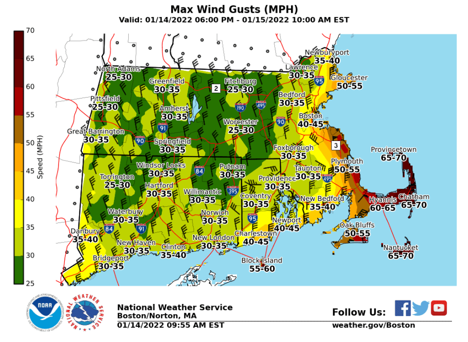
According to the National Weather Service, widespread power outages are expected, as damaging winds impact trees and power lines. Travel will be difficult, especially for high-profile vehicles.
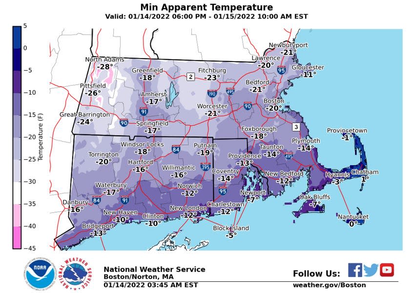
Rain showers across the region on Friday will likely turn to snow later in the day, with minor accumulations possible. Arctic air is predicted to overspread the area later tonight, leading to dangerously cold wind chill numbers.
According to the National Weather Service, confidence is increasing in another winter storm impacting Cape Cod late Sunday night into Monday. However, more rain than snow is expected along the coast.
Here's the Cape Cod forecast from the National Weather Service:
Friday weather forecast
Rain. High near 43. Windy, with a north wind 15 to 25 mph increasing to 28 to 38 mph in the afternoon. Winds could gust as high as 55 mph. Chance of precipitation is 80%. New precipitation amounts between a tenth and quarter of an inch possible.
Friday night weather forecast
Snow likely, mainly before 7pm. Cloudy, then gradually becoming partly cloudy, with a low around 15. Wind chill values as low as -1. Very windy, with a north wind 36 to 41 mph decreasing to 29 to 34 mph after midnight. Winds could gust as high as 60 mph. Chance of precipitation is 60%. Little or no snow accumulation expected.
Saturday weather forecast
A slight chance of snow before 8am. Mostly sunny, with a high near 17. Wind chill values as low as -3. Blustery, with a northwest wind 16 to 21 mph. Chance of precipitation is 20%.
Saturday night weather forecast
Partly cloudy, with a low around 10. Northwest wind 8 to 13 mph.
Sunday weather forecast
Sunny, with a high near 36. Northwest wind around 6 mph becoming light and variable in the afternoon.
Sunday night weather forecast
A chance of snow between 1am and 3am, then rain likely. Mostly cloudy, with a low around 26. East wind 5 to 10 mph increasing to 13 to 18 mph after midnight. Winds could gust as high as 30 mph. Chance of precipitation is 60%. Little or no snow accumulation expected.
M.L.K. Day weather forecast
Rain, mainly before 3pm. High near 48. Breezy, with an east wind 14 to 23 mph becoming southwest in the afternoon. Winds could gust as high as 43 mph. Chance of precipitation is 80%.
This article originally appeared on Cape Cod Times: Cape Cod power outages possible as forecast calls for wind and cold

