How big did the hail get Monday evening in Kansas? Softball-sized, a meteorologist says
Softball-sized hail was reported Tuesday evening to have fallen in Dickinson County while a tornado touched down briefly in Riley County, said Jenifer Prieto, a meteorologist for the National Weather Service office in Topeka.
Hail up to 4 inches in diameter, or the size of a softball, was reported seven miles north/northeast of Moonlight in Dickinson County, she said.
Hail up to 3 inches in diameter, or the size of an apple, was reported near Ellinwood in Barton County while hail up to 2 inches in diameter, or the size of an egg, was reported near Keats in Riley County, Prieto said.
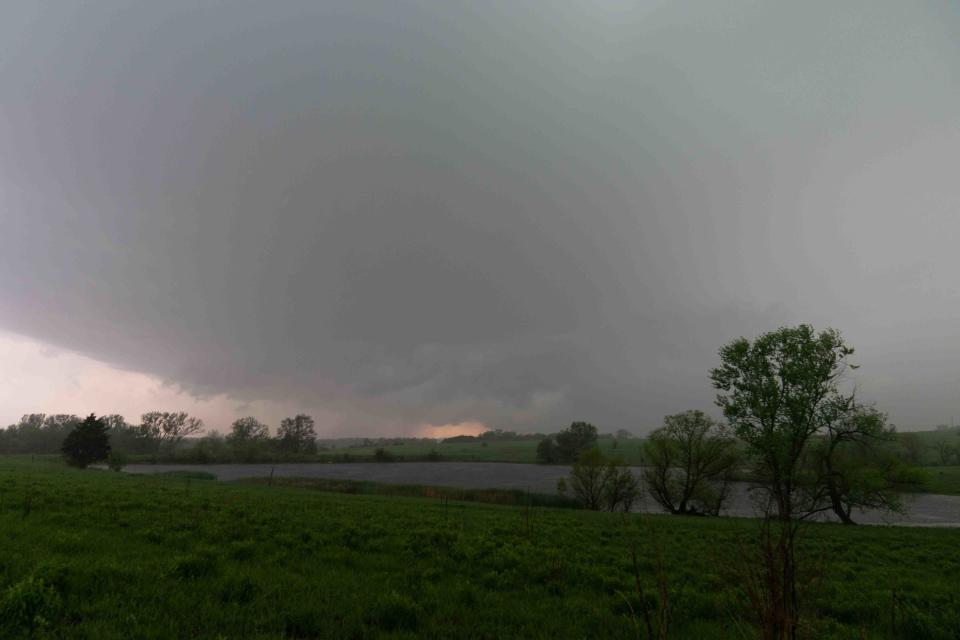
The weather service on Tuesday was sending a team to assess damages at the place where a spotter reported a tornado briefly touched down at 7:48 p.m. Monday four miles northeast of Ogden in Riley County, Prieto said.
That twister then passed to the south of downtown Manhattan, she said.
No deaths or injuries were reported in the parts of north-central, northeast and east-central Kansas covered by the weather service's Topeka office, though significant tree limb damage was reported in Franklin County, Prieto said.
The storms came near the end of the day when forecasters had urged residents to have a plan in place to take cover in the event of severe weather.
Contact Tim Hrenchir at threnchir@gannett.com or 785-213-5934.
This article originally appeared on Topeka Capital-Journal: Hail the size of a softball reported late Monday in central Kansas

