Mobile phone signals could be lost as Storm Isha brings 80mph winds

- Oops!Something went wrong.Please try again later.
Mobile phone signals could be lost amid power cuts this weekend as Storm Isha brings winds of up to 80mph.
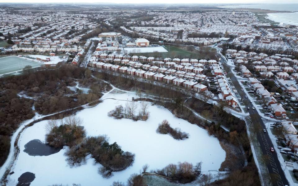
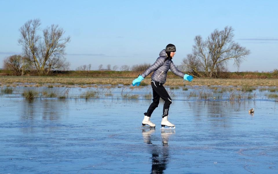
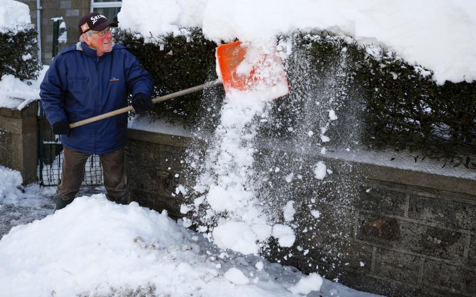
The Met Office said Isha, the ninth named storm of the season, would bring strong winds across the UK, following days of sub-zero temperatures.
Amber warnings are in place on Sunday and Monday, indicating a threat to life from high waves and flying debris, as well as likely power cuts and travel disruption.
The amber wind warnings also mean potential power cuts and loss of mobile phone signal in affected areas, while roads and bridges are likely to be shut and rail and bus services could face delays and cancellations.
Many places are likely to see gusts of 50-60mph, reaching up to 80mph in a few places along the coast.

“Storm Isha will bring strong winds to the whole of the UK through Sunday and into Monday,” said Dan Suri, the Met Office’s chief meteorologist.
“The areas of particular concern are reflected by a large amber severe weather warning which covers Northern Ireland, central and southern Scotland, Wales, much of northern England as well as southwestern parts of England.”
The heaviest downpours are expected during Sunday as 30-50mm could fall in many places and there is potential for peaks of 80-100mm over hills.
Heavy rain could also lead to flooding and transport disruption on Sunday in Scotland, Wales and north-west England.
But temperatures are expected to be much higher than they have been with highs of 12-13C (53-55F), said Alex Burkill, a Met Office meteorologist.
“But we need to factor in the strong winds, the rain, the cloud, and so it is not going to feel quite so warm as this might suggest,” he said.
The Environment Agency had issued 12 flood warnings, where flooding was expected, and 59 flood alerts where flooding was possible, as of Friday morning.
A spokesman for the Energy Networks Association, which represents Britain’s energy network operators, said: “An amber warning brings an increased risk of damage to homes and vital infrastructure. Energy network operators are preparing to deal with any damage quickly and safely.
“With severe weather forecast, our advice to customers is to prepare, care and share.
“Prepare by going online to PowerCut105.com for advice and call 105 for free if you have a power cut. Check in with people who might need extra help, and share this information so friends and family know what to do too.
“If you see damaged power lines or lines brought down over the coming days, stay well clear and call 105 for free to report it, or dial 999 if there’s an immediate danger to life.”
‘Atlantic-dominated weather’
Isha is the ninth storm of the season, which begins in September, which makes it the busiest naming period since the practice began in 2015.
The Met Office said a particularly active jet stream was to blame.
“From late autumn and through winter we have had largely Atlantic-dominated weather with storms and heavy rain driven mainly by an active jet stream which has been steering weather systems from the west to us,” said Grahame Madge, a Met Office spokesman.
“This weather set-up can trigger a larger number of storms to be named when compared with a more average season.
“The storm-naming partnership works on an impacts-based system, with those low-pressure storms likely to cause greater impacts, the most likely to be named.”

