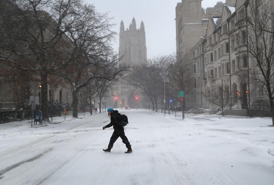
'Significant storm': Bomb cyclone packed with snow, rain and wind to slam eastern US
Old Man Winter may have at least one more trick up his sleeve: A potential "bomb cyclone" storm could batter portions of the central and eastern U.S. this week and into the weekend, forecasters warn.
"Confidence is growing for a significant storm that will bring wide-reaching impacts," AccuWeather meteorologist Alex DaSilva said. That would include everything from rain and severe thunderstorms to high winds, snow and a rapid freeze-up across the eastern third of the nation, AccuWeather said.
A bomb cyclone, which occurs through the process known as bombogenesis, is basically a winter hurricane. It "occurs when a mid-latitude cyclone rapidly intensifies," or quickly drops in atmospheric pressure, marking the strengthening of the storm, according to the National Oceanic and Atmospheric Administration.
Areas from eastern Oklahoma to western portions of Ohio, Kentucky and Tennessee, and even northern parts of Mississippi and Alabama, have a shot at up to a few inches of snow. Much heavier snow is likely farther to the east, according to AccuWeather senior meteorologist Alex Sosnowski.
WHAT IS A BOMB CYCLONE? A winter hurricane, explained.
Heavy snow is forecast across interior portions of the Northeast; as much as a foot is possible in some areas.
"Not only is the Northeast looking at snow with this, but it could also be looking at some strong, gusty winds," Weather.com meteorologist Domenica Davis said.

This threat for high winds is highest along the immediate coast Saturday, as well as over the higher terrain of the Northeast, Weather.com said. At least some downed tree limbs and power outages are possible in these areas.
WHAT IS THUNDERSNOW? Here is how a thunderstorm can produce snow
Wind gusts of 40 to 60 mph are forecast from northern Florida to Atlantic Canada on Saturday. The corridor of strongest winds is expected in North Carolina, along the coast or in the mountains, and in southern New England, where wind gusts could reach 70 to 90 mph, according to Accuweather. Power outages may be extensive.
Most of the I-95 corridor, including the big cities of the mid-Atlantic and Northeast, should see wind-driven rain Saturday before temperatures dip below freezing later in the day after the rainfall ends, the National Weather Service said.
Severe thunderstorms could also rattle portions of the Southeast on Friday and Saturday, the Storm Prediction Center said. "Damaging wind and a few tornadoes are possible late Friday night into early Saturday morning across parts of the Southeast and coastal Carolinas," the Storm Prediction Center said.
"This will mark the final wave of stormy weather of the week for this part of the country, following rounds of disruptive but beneficial downpours," AccuWeather said.
Strong, damaging winds also are possible this weekend in parts of eastern Canada, including Nova Scotia, New Brunswick, Newfoundland and Labrador, Weather.com said.
Weather.com said the strength of the bomb cyclone could flirt with all-time low-pressure records in eastern Canada, according to data compiled by NOAA meteorologist David Roth.
This weather system has been named Winter Storm Quinlan by The Weather Channel.
WHAT IS A NOR'EASTER? Storms can batter East Coast with snow, impact millions of people
This article originally appeared on USA TODAY: Bomb cyclone this weekend: East Coast to get winter storm, rain, snow

