Brace yourself: Sub-zero wind chill and snow coming with polar vortex to Columbus
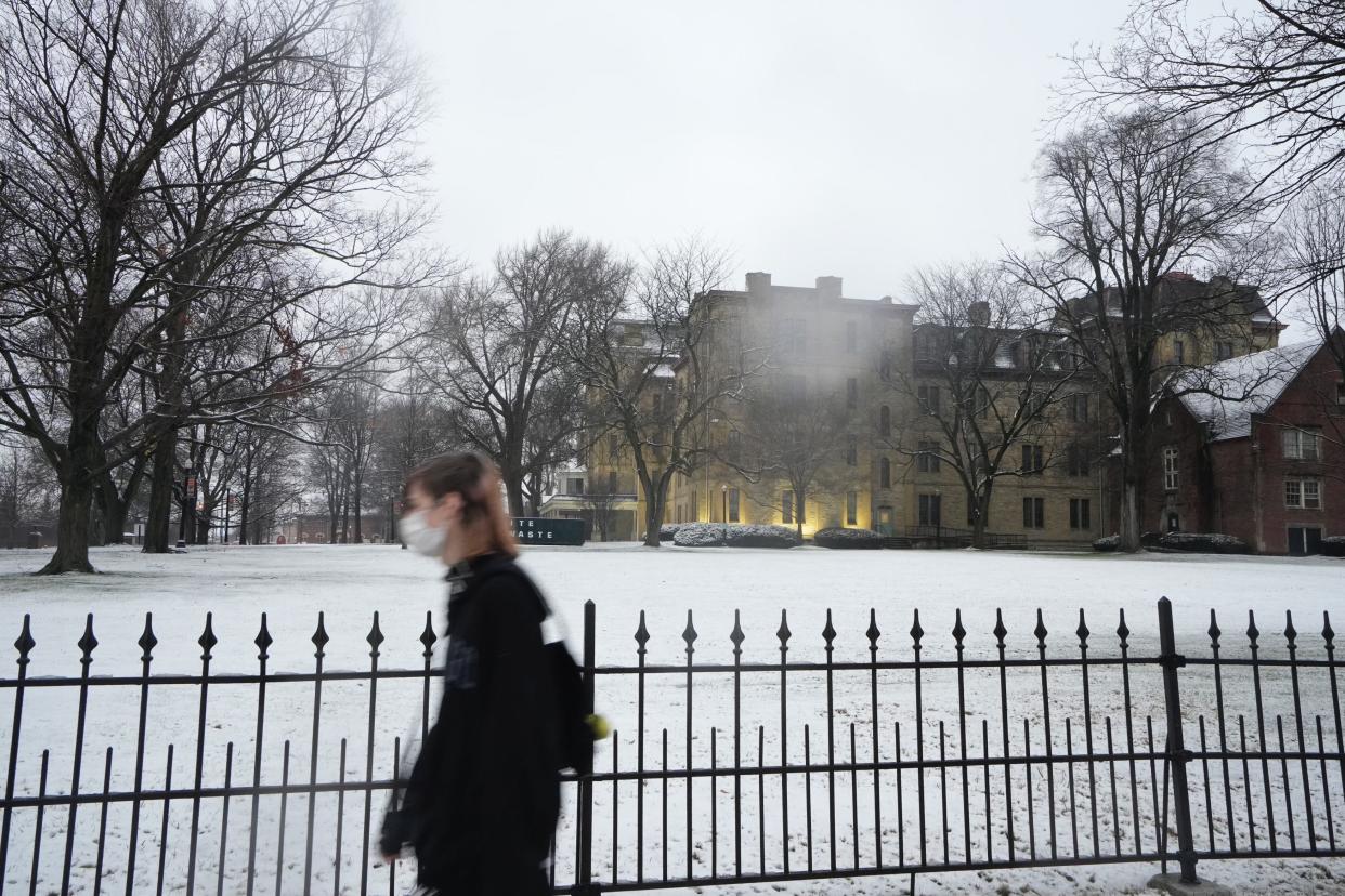
Expect negative wind chill temperatures and snow to come in central Ohio as winter will finally kick into gear.
Beginning Saturday night through Tuesday, expect wind chills to bring the temperatures in the mornings below zero with wind chill temperatures and highs throughout the day to range from 10 to 15 degrees in the Columbus area, according to forecasts from the National Weather Service Wilmington office.
The poor forecasts are caused by a potential "bomb cyclone" blizzard for the Midwest, an arctic blast courtesy of the polar vortex, according to USA Today.
Weather to worsen Friday night, possible snow Saturday in Columbus
Friday will be the last day of average January temperatures before a significant drop, according to the National Weather Service.
On late Friday night, expect rain before 1 a.m. Saturday, when snow possibly mixed with rain between 1 a.m. and 4 a.m., with snow likely after 4 a.m., forecasts show. Less than a half inch of snow accumulation is possible.
Chances of snow will continue through Tuesday, according to the NWS. Overnight lows will also fall to the single digits by Tuesday, and wind chills will be below zero in many locations beginning on Saturday night.
Polar vortex impacting weather in Midwest
The cold blast will be thanks to a polar vortex brewing, according to a Monday National Oceanic and Atmospheric Administration report.
The polar vortex is a gigantic, circular area of cold air high up in the atmosphere that typically spins over the North Pole (as its name suggests), USA Today previously reported. It's a normal pattern that's stronger in the winter and usually tends to keep the coldest weather bottled up near the North Pole.
When the polar vortex is "strong," cold air is less likely to plunge deep into North America, affecting the continental United States.
Expected cold to snap warm winter
The expected cold snap is coming as December 2023 landed itself as a tie for the for the fourth warmest on record and as the December with the highest minimum temperature of 22 degrees, The Dispatch previously reported.
Winter hiking: Cabin fever? Here are the best places for winter hiking in Columbus
Weather experts warned in 2023 that this winter would be affected by an El Niño weather pattern. El Niño, which means "boy" or "Christ child" in Spanish, is a general warming of the Pacific Ocean near the equator that occurs every two to seven years. Warm surface waters are replaced by colder flows coming from the depths, which changes the way storms travel across the globe between October and March.
It leads to abnormal weather everywhere, resulting from a "flipped pattern," in which the south is cooler than average and the north is warmer.
In general, expect less precipitation and higher temperatures in Ohio throughout the winter.
@Colebehr_report
Cbehrens@dispatch.com
This article originally appeared on The Columbus Dispatch: Expect sub-zero temps, snow beginning Saturday in central Ohio

