Bundle up, SLO County could see its first freezing temperatures. Here’s the forecast
High-pressure systems over the Great Basin will continue to produce gusty Santa Lucia (northeasterly) winds during the night and morning this week.
In Los Angeles and Ventura counties, this area of high pressure will generate gale-force Santa Ana winds, with gusts reaching over 55 mph in some areas. This condition will create clear skies with cool to cold mornings and mild afternoons throughout San Luis Obispo and Santa Barbara counties this week.
As we move deeper into fall, the days get shorter with less sunlight and cooler temperatures.
On a chronological basis, during fall, an area of high pressure builds at the surface over the Great Basin — the area between the Sierra Nevada range to the west and the Rocky Mountains to the east — and begins to dominate our coastal weather.
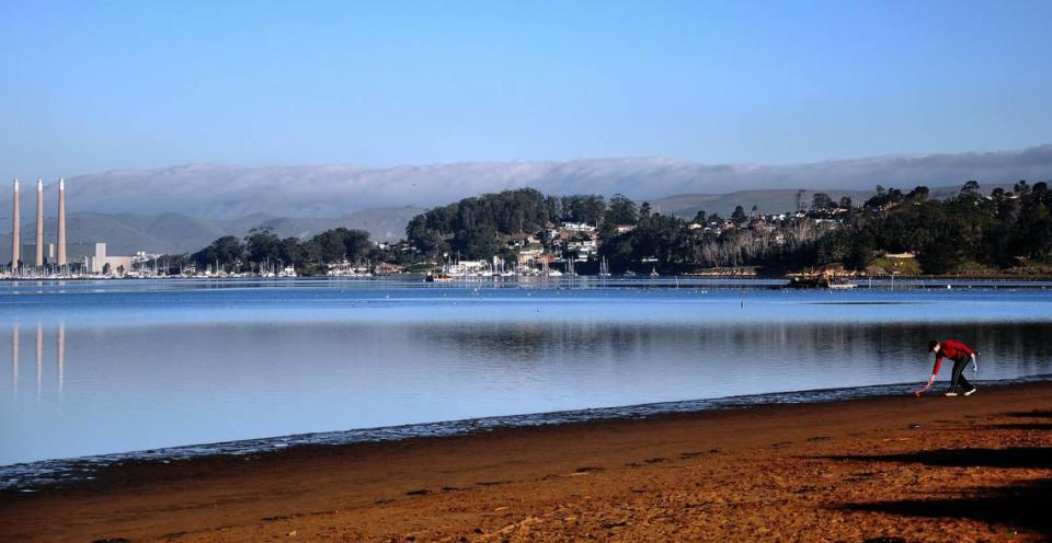
This condition usually produces northeasterly (offshore) winds, especially during the night and morning. In other words, the winds flow from the land to the Pacific. These winds bring the relatively dry air to our shoreline, pushing the marine layer far out to sea, which produces sparkling clear visibility along our beaches.
During the fall, coastal temperatures can exceed those in the interior.
Fresh to strong (19 to 31 mph) Santa Lucia winds with gusts to 45 mph in the canyons and passes are expected Sunday morning. These winds will decrease and shift out of the northwest by Sunday afternoon.
Due to the dry and clear skies, the inland valleys (Paso Robles) could see their first freezing temperatures of the fall season, with the mercury dropping to the low 30s.
The coastal valleys (San Luis Obispo) and many beaches will drop to the mid-40s. High temperatures throughout the county will reach the 70s.
A pattern of moderate to fresh (13 to 24 mph) Santa Lucia winds during the night and morning, sifting out of the northwest during the afternoon, will start Monday and continue through Wednesday. This condition will produce the familiar fall weather pattern of cool mornings and mild afternoons.
By Thursday, more robust afternoon northwesterly winds will allow the marine layer to develop during the evening and night with areas of fog and mist in the coastal regions. This condition will also produce warmer overnight temperatures.
At the time of this writing, the long-range models did not indicate any rain in the extended forecast.
Surf report
A 4- to 6-foot northwesterly (295-degree, deep-water) sea and swell (with a 5- to 11-second period) is forecast along our coastline on Sunday, decreasing to 2- to 4-feet on Monday and will remain at this level through Thursday.
A 4- to 6-foot northwesterly (300-degree, deep-water) sea and swell (with a 5- to 12-second period) is forecast along our coastline on Friday through Saturday.
Combined with this northwesterly swell will be a 1- to 3-foot Southern Hemisphere (215-degree, deep-water) swell (with a 15- to 17-second period) on Sunday through Friday.
Seawater temperatures will range between 58 and 60 degrees through Saturday.
This week’s temperatures
LOWS AND HIGHS, PASO ROBLES
SUN | MON | TUE | WED | THU | FRI | SAT | SUN |
35, 73 | 33, 78 | 37, 78 | 40, 78 | 42, 77 | 40, 75 | 41, 74 | 40, 71 |
LOWS AND HIGHS, SAN LUIS OBISPO AND COASTAL VALLEYS
SUN | MON | TUE | WED | THU | FRI | SAT | SUN |
47, 76 | 47, 79 | 48, 78 | 48, 77 | 49, 73 | 48, 72 | 50, 71 | 50, 70 |
John Lindsey is a retired PG&E marine meteorologist. Email him at JohnLindseyLosOsos@gmail.com or follow him on Twitter @PGE_John.

