ByGone Muncie: A well-worn path into Muncie
A new season is upon us. If consistent with past years, its full force will hit Delaware County in coming months. It creeps up in February and then wham, come mid-March, Muncie resembles a vast pitted moonscape.
Of course I’m referring to Pothole Season — that time in late winter when city streets fracture open, revealing gaping pits down to Earth’s core. Such craters appear every year, yet I catch myself bewailing annually that “the streets have never been this bad.” Sometimes I even utter a classic Munsonian gripe, “the roads here are terrible,” as if our city’s pothole situation is somehow different from any other sprawled Midwestern community on the same latitude.
We’ve always complained about the condition of roads and streets.
The Muncie Morning News lamented in 1892 that the “crossing at the southwest corner of Jackson and Jefferson streets is in a bad condition … it affords a good opportunity for someone to suffer a broken limb.”
A visitor to Muncie in 1920 was quoted in the Evening Press saying, “The city streets are the greatest drawback to the future of growth.” Sixteen years later in April of 1936, the Muncie Star joked that a “chuckhole tour of Muncie might convince city officials that many streets need repairs.”
One of the oldest gripes on record came from a visitor identified only as "Graybeard." He was interviewed in a July 23, 1885, Muncie Morning News article about a trip he took through Munseytown in 1845. Before turnpikes and railroads arrived mid-century, overland inter-city travel in the Hoosier state was arduous at best.
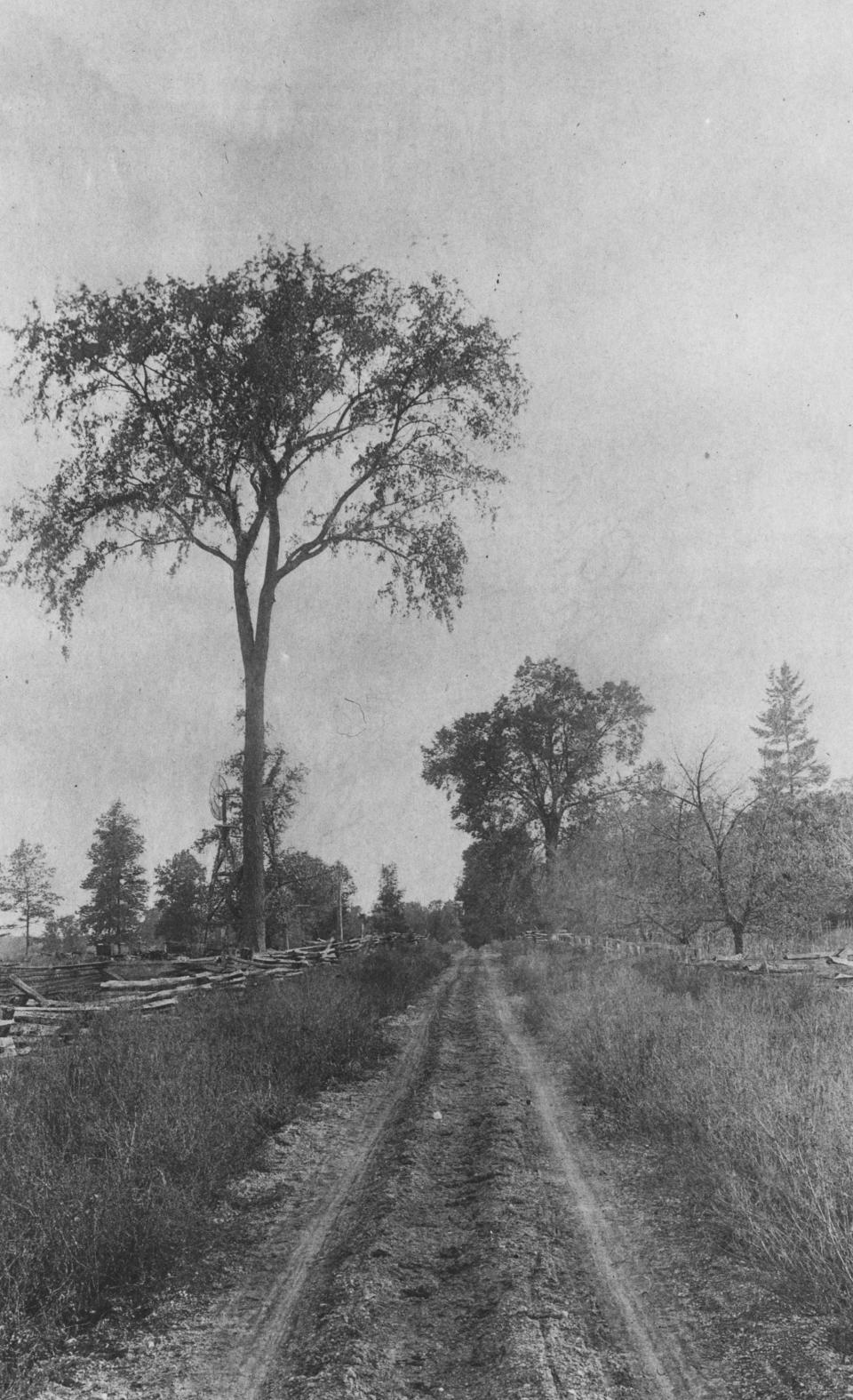
“Great Caesar, what roads,” Graybeard recollected. “Mud, water and water and mud, world without end.” As he entered Munseytown, Graybeard remembered the road’s “rough corduroy bridge, with wide, uneven ditches at both sides, just at the edge of town.”
Graybeard likely arrived in Munseytown on the Richmond Road, an early state thoroughfare that ran across Delaware County. The General Assembly commissioned it in 1832 as part of a statewide effort to improve inter-city transportation. The road was mostly packed earth and cut logs arranged as planks, known then as a corduroy road. It was completed around 1840.
Much of the Richmond Road to Munseytown was built over an ancient trace. Prior to American colonization, the land we now call Delaware County was home to Indigenous people for many thousands of years. We don’t know the names for their settlements, but Native American communities along the White River connected regionally via traces. They weren’t roads exactly, but traces were something more than mere trails.

When the Lenape (Delaware) lived along the White River from 1796 until 1820, several traces reached Munseytown, which stood on the bluff overlooking the riverbend at what is today Minnetrista Museum and Gardens. The historian Thomas Helm wrote in 1881: “There were no less than three principal traces or Indian thoroughfares centering in or passing through Delaware County, in addition to others of minor consequence.”
One trace linked Munseytown to the Myaamia (Miami) villages on the Wabash River near present day Lafayette, while another routed to Kekionga in what is now Fort Wayne.
A third trace connected Munseytown to Native communities on the Whitewater River in southeast Indiana.
In the early 1800s, part of this trace became a well-worn path connecting John Conner’s trading post near Brookville, to his brother’s post on the White River in what is now Fishers. The trail forked at the Big Blue River, with one route leading northwest to Chief Kikthawenund’s village (Anderson’s Town) before heading downriver to William Conner’s post. The second route went north to Chief Buckongahelas' village and then on to Munseytown.
Travelers sometimes faced a tough journey on the trace into Buckongahelas' village. The route passed through the Prairie Creek watershed in what is today Perry Township. It flooded often in spring. Moravian missionaries in May of 1801, according to their diary, had to wade “up to our knees through a great swamp several miles long” before they reached the village. The chief’s settlement was near what is now the intersection of Burlington Drive and Inlow Springs Road.
The United States federal government removed the Lenape from Indiana with a treaty at St. Mary’s, Ohio, in 1818. Settlers poured into east-central Indiana over the next two decades, colonizing the richly soiled White and Mississinewa river watersheds. Between 1819 and 1825, the feds ran an office in Brookville to sell off acres of land, mostly to white farmers and land speculators. Many settlers buying tracts near Munseytown took the same trail up from the Whitewater River as did the missionaries.
When the National Road (U.S. 40) was built through Indiana between 1828 and 1834, the General Assembly commissioned connecting roads to link settlements across the state. One road ran between Richmond and Delphi by way of Munseytown. It followed much of the same route as the old Brookville-Munseytown-Wabash River trace.
The Richmond Road, as it was commonly called, served through the Civil War as the main thoroughfare leading into and out of southeast Muncie. The road’s route in the city today is part of Bethel Pike in the northwest, along with Ohio Avenue and South Burlington Drive in the southeast. Mid-19th century maps show the road began in Centerville and headed northwest toward Muncie by way of Hagerstown and Mt. Pleasant.

Some of the Richmond Road immediately southeast of Muncie became part of the Muncie and New Burlington Pike in 1867. The gravel turnpike was eventually extended to Blountsville and Dalton. Later in 1901, this same general corridor between Muncie and Richmond was crossed by the Cincinnati, Richmond, and Muncie Railroad via Medford, Blountsville, Losantville, and Economy. The line became part of the Chesapeake and Ohio Railway in 1910, though today we know it as the Cardinal Greenway.
In the late 1920s and early ‘30s, Indiana State Road 21 was built as a highway connecting Muncie and Richmond, closely following C.&O. Railway’s corridor. By 1937, all of S.R. 21 between Muncie and Richmond had become part of U.S. Route 35.
The fastest way to Richmond today is still U.S. 35, although I recommend the Cardinal Greenway when time and weather permit. Both ways follow the same ancient route into Muncie, while connecting our little community on the White River to the rest of the world.
Chris Flook is a Delaware County Historical Society board member and a Senior Lecturer of Media at Ball State University.
This article originally appeared on Lafayette Journal & Courier: ByGone Muncie: Well-worn paths led settlers to Muncie

