Canadian wildfire smoke dims the vision of Earth-observing satellites (photos)
A smoky haze from over 400 wildfires currently burning in Canada is obscuring the view of numerous Earth-observing satellites.
Wildfire smoke from Canada often passes over the northeastern United States each year but goes noticed, NASA officials have noted. But that hasn't been the case over the past few days, when huge amounts of smoke from fires in Quebec have poured south into the eastern U.S.
"The surface smoke pollution from New York to the D.C. region is easily the most significant since at least July 2002, when a similar situation occurred with nearby fires in Quebec," Ryan Stauffer, an atmospheric scientist at NASA's Goddard Space Flight Center in Maryland, said in a statement. "This event is rivaling, and in some cases will likely surpass, the observed 2002 smoke pollution."
Related: Satellite photos show US East Coast engulfed by smoke from Canadian wildfires
The smoke has degraded the quality of surface-level air that tens of millions of people breathe and has caused significant disruptions to U.S. air travel, with at least 330 flights across the country delayed or canceled, according to NBC News. And the effect is so extreme it can even be seen from space, affecting the view of satellites designed to study our planet.
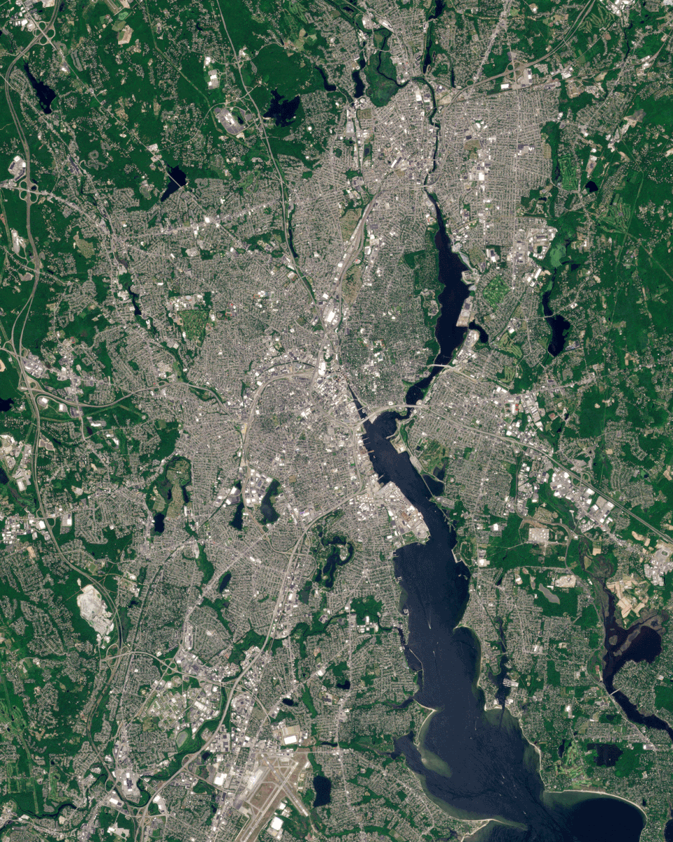
Images from PlanetScope — a constellation of 130 satellites run by California company Planet that monitors the surface of Earth every day — showed regions of North America from Shelburne County in the Canadian province of Nova Scotia to Providence, Rhode Island blanketed in smoke.
"Millions living in Northeast America awoke yesterday to a sight usually reserved for fire-prone areas: the unambiguous orange-tinted haze of wildfire," Planet said in a statement.
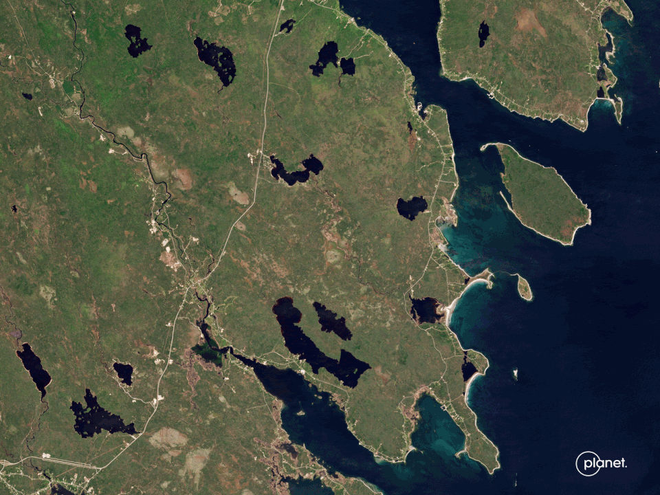
A time-lapse of Planet images captured over Nova Scotia showed the difference in the view from space of the area on May 27 compared to the view on May 31. The fire imaged in the time-lapse is estimated to have consumed around 42,000 acres (17,000 hectares), according to Planet. That's an area three times larger than Manhattan.
Related stories:
— Watch California's largest wildfire of the year spawn a massive 'fire cloud' visible from space
— Siberian wildfires double greenhouse gas emission record: This is how they look from space.
— Satellites watch Europe dry up in devastating drought that may be the worst in 500 years
For some space fans, the images will be reminiscent of smoke seen billowing over Canada from the International Space Station (ISS) in 2016.
Those pictures, which showed a thick blanket of smoke from forest fires burning around the area of Fort McMurray in Alberta, were captured by European Space Agency astronaut Tim Peake during the ISS' Expedition 46 mission.

