Cape Cod has a draft plan for bridge and road projects through 2044. Here are the basics.
Getting transportation infrastructure built takes time.
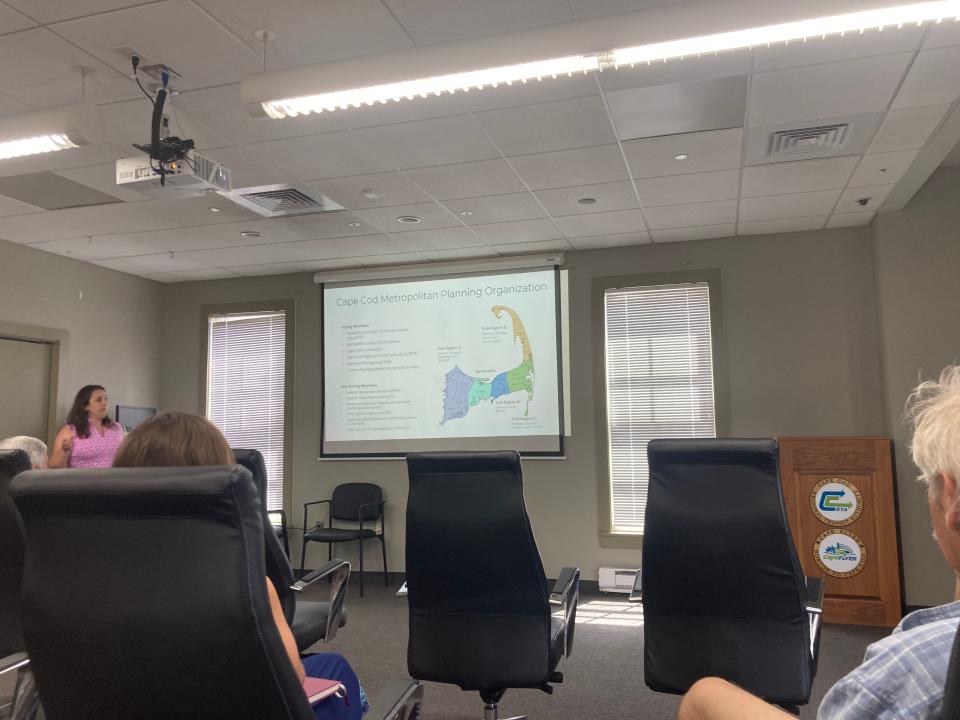
The long-term vision of the 2024 Regional Transportation Plan, a draft of Cape-wide transportation projects and initiatives authored by the Cape Cod Metropolitan Planning Organization, speaks to that reality.
“I think there is sometimes frustration,” Colleen Medeiros, Transportation Program Manager for the Cape Cod Commission said of attitudes towards planning and construction wait times. “It takes time, but in the end, it will be a worthwhile plan.”
The 2024 draft of the Regional Transportation Plan, of which Medeiros is co-author, is a 106-page document boasting a variety of long-term and shorter-term transit, traffic and transportation infrastructure upgrades and projects. The plan has a timeframe of 2024-2044 and a total estimated spending cost of $1.4 billion.
Some of the projects included in the draft encompass the replacement of the Bourne and Sagamore bridges, the Shank Painter Road redevelopment initiative in Provincetown, improvements to the Route 28 corridor and the Cape Cod Rail Trail — along with several methods of acquiring funding for said projects.
The Metropolitan Planning Organization has opened the draft up to a review period, scheduled to end on July 17, and has held three public meetings this week to field responses from the community.
Bourne and Sagamore bridges
One big project the Regional Transportation Plan addresses is the replacement of the Bourne and Sagamore bridges, the only way on and off of the Cape for vehicles, motorists, pedestrians, and bicycles.
“You’ll see a good amount of discussion of the Cape Cod Canal bridges program on page 70,” deputy director of the Cape Cod Commission Steven Tupper said at a public meeting at the Hyannis Transportation Center on Tuesday, referring to the draft document. “This is a plan to replace the bridges and add a connecting roadway and bicycle-pedestrian infrastructure to the communities on both sides.”
The replacement of the bridges has drawn region-wide scrutiny in recent months, as the U.S. Army Corps of Engineers, which owns and maintains the bridges, learned in January they will not receive funding under the 2022 Infrastructure for Rebuilding America, Mega grant program, and Large Bridge Program under the Bridge Investment Program.
The project is estimated to cost around $4 billion and construction could begin in 2026. The Army Corps of Engineers will transfer the ownership of the completed bridges to the state Department of Transportation, who will ultimately conduct the bridge construction, according to the plan draft.
Shank Painter Road in Provincetown
Another project included in the Regional Transportation Plan is the Provincetown Shank Painter Road and Route 6 improvement initiative.
The plan calls for adding a rotary to the intersection of Shank Painter Road and Route 6, as well as removing one section of the highway and converting it into a multi-use pedestrian and bicycle path. Sidewalks will also be added along Shank Painter Road, a main entry point into the town.
“That's going to be a one-of-a-kind, transformational project,” Medeiros said. “We're going to put both cars just on a two-lane road, and then all new walking and biking paths." That kind of change doesn’t occur that often, she said.
Route 28
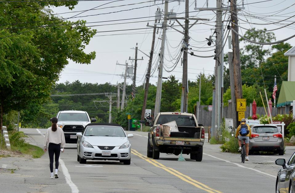
The Regional Transportation Plan also includes a number of upgrades and infrastructure projects along the Route 28 corridor in Yarmouth.
Mark Forest, Yarmouth selectman and Metropolitan Planning Organization board member, said the project is in the process of being designed and that details are not yet widely available.
“It started off as a straight resurfacing project,” Forest said. “They're looking at other ways to improve public safety, improve pedestrian access, bike access, and there are a host of other design features that they’re looking at.”
Route 28 is one of the main commercial corridors for towns on Cape Cod, Forest said, and is, therefore, an important roadway to improve in terms of pedestrian and vehicular access.
“The more you can make your roadways and highways, particularly the more you can make your roadways pedestrians-safe, it adds to the quality of life and adds to the livability quotient,” he said.
Cape Cod Rail Trail
Also referred to as “Vision 88” in the draft of the Regional Transportation Plan, the Cape Cod Rail Trail is a long-term goal to construct an 88-mile shared-use bike and pedestrian path from Woods Hole to Provincetown.
Medeiros said the project, which repurposes an old railroad route, will be under the purview of the Metropolitan Planning Organization, but individual municipalities — aside from Wellfleet and Truro — will be responsible for building their portion of the trail.
“Everyone’s very excited about the Cape Cod Rail Trail,” Medeiros said. “It has great potential to connect people.”
Thanks to our subscribers, who help make this coverage possible. If you are not a subscriber, please consider supporting quality local journalism with a Cape Cod Times subscription. Here are our subscription plans.
This article originally appeared on Cape Cod Times: Canal bridges, Route 6, rail trail: Planned traffic projects on Cape

