Carolina Beach Road's growth has sparked evacuation concerns. Here's how it's keeping up.
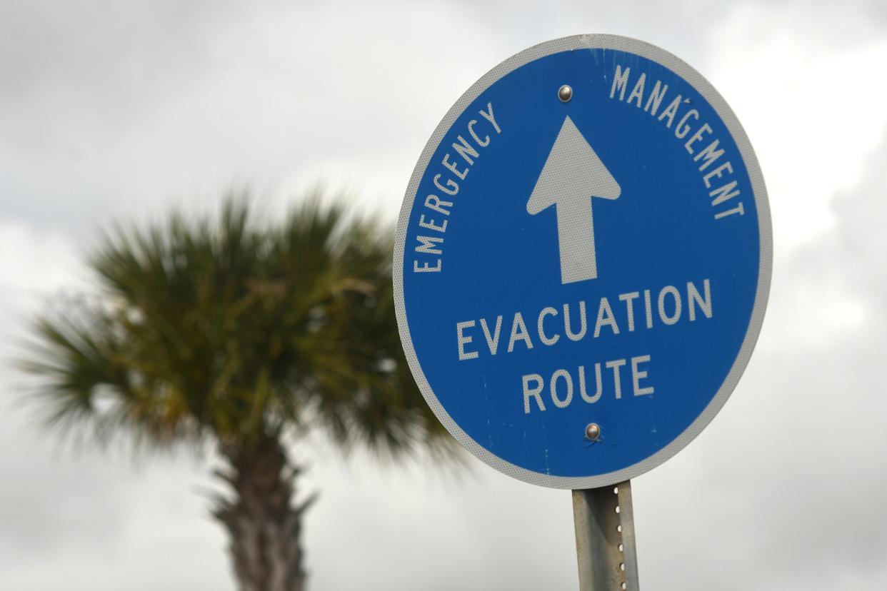
For those living on New Hanover County’s southern end, Carolina Beach Road can become a lifeline when hurricanes and tropical storms approach the county’s coastal areas.
As a stretch of U.S. 421, the road helps residents travel inland to escape the brunt of a storm. In recent months, the corridor has continued to grow with new subdivisions and apartment complexes.
That building has sparked concern from area residents and planning leaders about how roads and other infrastructure in the area will keep up with continued growth, especially when a hurricane hits. The topic emerged earlier this month while New Hanover County’s planning board debated a townhome and single-family home development proposed near the Tarin Woods subdivision.
Residents and some members of the planning board said they worried about whether Carolina Beach Road had the capacity to handle the area’s increasing population in the event of a large-scale hurricane evacuation.
More:Single-family homes dominate the Carolina Beach Road corridor. But that could be changing.
More:What you need to know: Hundreds of homes could be coming to a growing New Hanover corridor
Counting cars
When a new development is proposed anywhere in the county, developers must complete a traffic impact analysis if the project will generate more than 100 car trips during peak hours, said Ben Hughes, N.C. Department of Transportation’s District 3 engineer.
Developers then perform traffic counts during peak morning and afternoon travel times when traffic is usually the heaviest, Hughes said. If the study finds a 25% or more change in traffic, the developer is required to make improvements to the road to help mitigate traffic generated. That could include adding turn lanes or a traffic signal.
The department of transportation does not require developers to study how added traffic will impact a hurricane evacuation, Hughes said.
“There's no way to measure and look at a hurricane evacuation,” Hughes said. “We can't really measure those, can't count for those. They happen once every five years or 10 years.”
But he believes looking at peak hour traffic is a “fairly good comparison” to how a road’s traffic would hold up during a hurricane.
“When you do have a hurricane evacuation, you do spread [traffic] out over a day or two,” he said. “You don’t have all the traffic leaving in one hour of the day.”
If the area’s continued development would warrant larger, more expensive road improvements, those would need to be added to the department’s State Transportation Improvement Program. That’s how large-scale projects like the Military Cutoff Road extension and the planned widening of Gordon Road received funding, Hughes said.
STAY CONNECTED: Keep up with the area’s latest development news by following our Growth and Development page on Facebook.

Factoring in growth
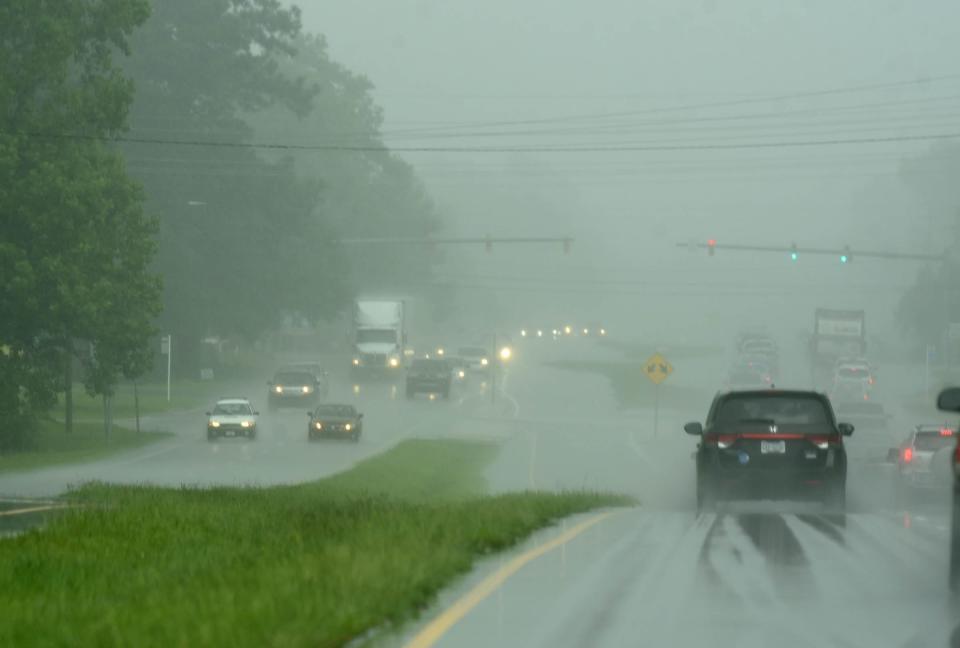
The hit from Hurricane Florence in 2018 marked the last time New Hanover County saw a true, large-scale evacuation, according to Steven Still, director of the county’s emergency management department. The county also saw widespread evacuations in the 1990s with Hurricanes Fran and Floyd.
Although mandatory mass evacuations are relatively uncommon, Still emphasized the need to remain vigilant of hurricanes and other tropical storms.
“The frequency is near impossible to predict,” he said. “No one can say it doesn't happen often because heck we could have two to three years in a row where we have one.”
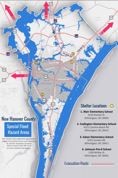
Still said he relies on local transportation and government officials to ensure the county’s evacuation routes keep up with the county’s growing population. Over the years, he said, evacuations have also become more targeted to specific areas, allowing those facing the most severe impacts of the storm to evacuate more quickly.
Still relies on hurricane evacuation study published in 2014 by the Federal Emergency Management Agency, the National Oceanic and Atmospheric Administration and the Army Corps of Engineers for guidelines on evacuation times.
More:What are the 5 worst hurricanes to ever hit the Wilmington area?
But there is no variable that allows him to account for an area’s growth over time. For that, Still said he relies on his own local and historical knowledge. He also uses data in real-time to guide county evacuation decisions.
Still said expects a new evacuation study with updated population counts to come out later this year. Factoring population growth into emergency management decision is an issue that’s being felt throughout the East Coast, Still said.
“We all know the population is increasing, particularly in our coastal areas,” he said. “It’s not just unique to New Hanover County for sure.”
Reporter Emma Dill can be reached at edill@gannett.com.
This article originally appeared on Wilmington StarNews: New Hanover's hurricane plans keep pace with new growth, development

