12+ inches of snow falls in NC mountains; winter storm warning continues overnight
RALEIGH, N.C. (WNCN) — Six inches of snow fell by sunset Monday — and that was more than doubled by 8 p.m. — in parts of the North Carolina mountains as National Weather Service forecasts before the storm said between 7 and 8 inches of snow was expected by the end of a winter storm warning Tuesday morning.
Arctic blast expected in central North Carolina this week
Two miles north of Banner Elk in Avery County there was 15 inches of snow — with 3-feet-deep snow drifts at 8 p.m., the National Weather Service said. In Wolf Laurel in Yancey County, nearly 12 inches of snow was recorded by resident Timm Davis by 9:30 p.m.
Snow flurries, wintry mix north of Raleigh near NC border with Virginia
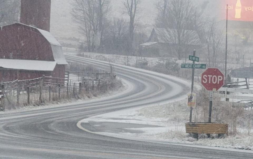
Meanwhile, by 9 p.m. there was 7 inches of snow reported in Jefferson in Ashe County, the weather service said.
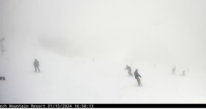
The most snow by 4:30 p.m. was 6.2 inches a mile north of Beech Mountain in Watauga County, according to the National Weather Service. About an hour earlier, 5 inches of snow was reported a mile north-northwest of Beech Mountain.
RELATED: The latest CBS 17 Storm Team weather forecast – updated several times daily
Heavy snow was seen falling throughout the afternoon at the Beech Mountain Resort and throughout the mountains.
Three inches and 3.1 inches of snow were reported at Valle Crucis and west of Blowing Rock respectively, the weather service reported around 4 p.m.
Further south in the North Carolina mountains, 2.5 inches was reported by 3 p.m. in Waynesville in Haywood County and 2 inches near Banner Elk in Avery County.
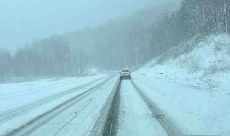
By 1:30 p.m., officials in Haywood County were warning against driving on some roads with visible snowfall on the pavement.
Up 7 inches of snow forecast in NC mountains; 14 counties under winter storm warning or advisory
“Cars are sliding and getting stuck. Please avoid this area. Road conditions are not safe,” Haywood County Emergency Services said about Soco Road in Maggie Valley.
The NCDOT reported that U.S. 19/Soco Road was closed for several hours Monday through the Cherokee Indian Reservation from the top of Soco Mountain to Cherokee.
The National Weather Service said Monday that 8 inches of snow was forecast in an area along the line between Mitchell and Yancey counties. However, just after 9 p.m., just under 12 inches was recorded in the Yancey County town of Wolf Laurel.
The weather service said Monday afternoon that additional snow in Graham and Swain counties of up to 4 to 6 inches is possible by late Monday night, with up to 2 inches in the valleys.
A winter storm warning is in effect until 7 a.m. Tuesday for Ashe, Avery, Swain, Graham and Watauga counties in North Carolina.
A winter weather advisory is in effect for the same time with several inches inches of snow expected in nine other counties in the North Carolina mountains.
The advisory is for Alleghany, Haywood, Macon, Madison, Mitchell, Northern Jackson, Surry, Wilkes, and Yancey, counties.
For the latest news, weather, sports, and streaming video, head to CBS17.com.

