Tornado watch issued for 21 counties in central and eastern Wisconsin
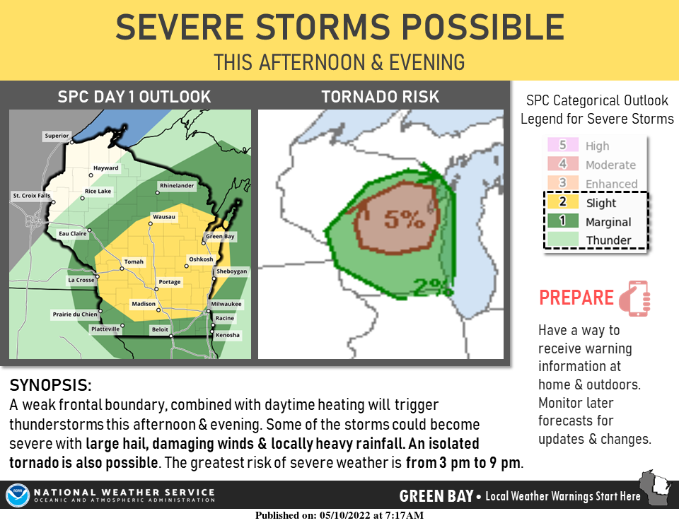
Residents in 21 counties in central and eastern Wisconsin should be on the lookout for potential tornadoes through late Tuesday, according to the National Weather Service.
The weather service issued a tornado watch effective through 9 p.m. for the following counties: Marathon, Portage, Waushara, Wood, Calumet, Manitowoc, Winnebago, Langlade, Lincoln, Oneida, Brown, Door, Florence, Forest, Kewaunee, Marinette, Menominee, Oconto, Outagamie, Shawano and Waupaca.
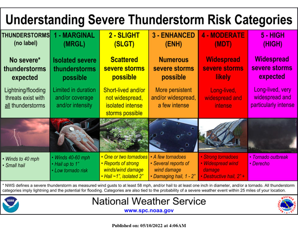
Instability in the atmosphere and a cold front raised the possibility of severe thunderstorms with hail, according to the National Weather Service in Green Bay.
Kira Jesse, a meteorologist from the National Weather Service in Green Bay, said wind gusts could reach 60 miles per hour and that hail could be up to an inch wide.
The thunderstorms will hit central Wisconsin first, possibly as early as 1 p.m., before heading north and west to the Fox Valley around 3 p.m., according to Jesse. Across the area, the storms may affect the evening commute but are expected to taper off by 9 to 10 p.m.
Jesse recommended staying indoors if thunder and lightning , as well as having a way to receive emergency alerts.
Wisconsin weather radar
Refresh your browser if the radar isn’t working or click here if you can’t see it.

Contact Rebecca Loroff at 920-907-7801 or rloroff@gannett.com.
This article originally appeared on Appleton Post-Crescent: Severe thunderstorms, strong winds, hail possible for Fox Valley

