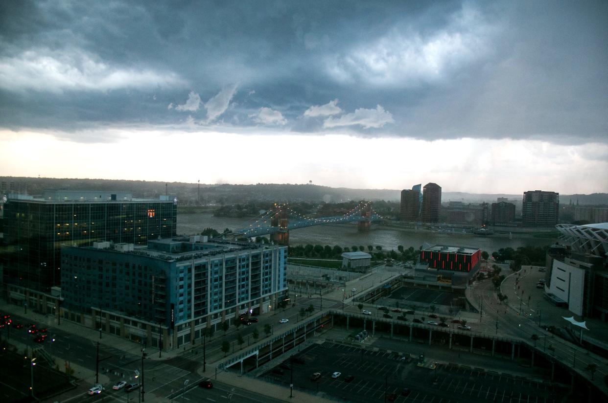
Cincinnati weather: Severe thunderstorm, flood watch remains for Greater Cincinnati
Update, 9 p.m.: A severe thunderstorm watch will remain in place until late Monday night and a flood watch is in effect until early Tuesday morning, according to the National Weather Service.
The severe storm watch is in place until 11 p.m. in Hamilton, Butler and Clermont counties in Ohio; Boone, Kenton and Campbell counties in Kentucky; and Dearborn County in Indiana, forecasters said.
A flood watch remains in place for parts of Southwest Ohio, Northern Kentucky and Southeast Indiana until 4 a.m. Tuesday, the weather service said.
"Excessive runoff may result in flooding of rivers, creeks, streams, and other low-lying and flood-prone locations," forecasters said.
[6:44PM EDT] Flood Watch in effect until 4:00 AM EDT. Repeated thunderstorms over the same areas may cause flash flooding through the early overnight. pic.twitter.com/dtQ5unpy63
— NWS Wilmington OH (@NWSILN) August 1, 2022
Update, 6:50 p.m.: The National Weather Service has lifted a tornado warning for Dearborn County, Indiana.
A flood watch is in effect until 4 a.m. in Hamilton and Clermont counties in Ohio; Boone, Campbell and Kenton counties in Kentucky; and Dearborn, Ohio, Ripley and Switzerland counties in Indiana.
Update, 6:17 p.m.: A tornado warning has been issued for part of Dearborn County until 6:45 p.m., according to the National Weather Service.
At 6:18 p.m., a severe thunderstorm capable of producing a tornado was located near Bright, moving east at 25 mph, forecasters said.
Forecasters say flying debris will be dangerous to those caught without shelter and damage to roofs, windows, and vehicles will occur.
Mobile homes will be damaged or destroyed, the weather service said.
Areas impacted include Lawrenceburg, Greendale, Hidden Valley, Bright, Guilford, Logan, Manchester, West Harrison, Dover and New Alsace.
Tornado Warning including Bright IN, Hidden Valley IN and Lawrenceburg IN until 6:45 PM EDT pic.twitter.com/ySii4IcJbi
— NWS Wilmington OH (@NWSILN) August 1, 2022
Previous reporting: The National Weather Service says a severe thunderstorm watch has been issued for several counties in the Cincinnati area. The warning is in place until 11 p.m.
Areas impacted include Hamilton, Clermont, Butler and Warren counties in Ohio, as well as Boone, Kenton and Campbell counties in Kentucky.
Severe weather: Here are the differences between a Tornado Watch and a Tornado Warning
Forecasters say damaging wind is the primary threat stemming from the severe weather. Secondary threats include heavy rainfall, flooding, large hail and a low change of a tornado, according to the weather service.
Residents are urged to prepare to seek shelter as storms approach and to have multiple ways to receive warnings about severe weather.
[12:54 PM] Scattered severe storms are possible late this afternoon / tonight, with a primary threat of damaging winds.
After the storms this morning, tonight's severe threat has shifted slightly to the south.
Stay weather aware this evening! pic.twitter.com/Vc6ujtl5ZB— NWS Wilmington OH (@NWSILN) August 1, 2022
The Enquirer will update this story.
This article originally appeared on Cincinnati Enquirer: Cincinnati weather: Severe storm, flood watch remains in place

