Cincinnati weather: Track latest smoke data, red flag warnings as wildfire smoke hits area
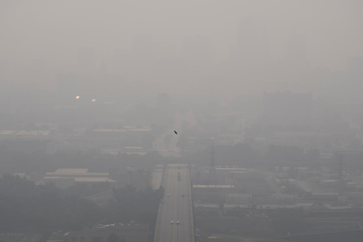
Smoke from wildfires in Canada continues to cause poor air quality, haze and low visibility in the Ohio Valley Region.
On Tuesday, the Southwest Ohio Air Quality Agency issued an air quality alert until 11:59 p.m. Wednesday night due to ozone and PM2.5, or fine particulate matter, levels reaching the "unhealthy for sensitive groups" range on the air quality index.
According to a hazardous weather outlook from the National Weather Service in Wilmington, smoke and fog have also reduced visibility throughout Greater Cincinnati.
Health: How bad is breathing in wildfire smoke? Graphics show how toxic air affects your health
Want to keep an eye on local conditions? We have a map that tracks wildfire smoke and red flag warnings.
Note: Data is updated hourly based on input from several incident and intelligence sources.
• Wildfire smoke map: Track fires and red flag warnings across the US and Ohio
Are you looking for air quality index (AQI) updates? We have a map for that too.
• Air Quality Index - Current Conditions
To track all current severe weather warnings, watches and advisories for Cincinnati and other areas, check out this interactive weather alerts page. The data included in this map is updated every 5 minutes.
• Weather alerts: Get the latest updates
This article originally appeared on Cincinnati Enquirer: Ohio air quality, smoke map: Track latest updates, red flag warnings

