Tropical Storm Claudette is back over water, and there’s another Atlantic disturbance
Tropical Storm Claudette is in the Atlantic Ocean, leaving flooding and rain over the Carolinas as it rapidly continues northeast.
The National Hurricane Center said the storm will likely peter out in the next 24 hours.
The remnants of Claudette, the third named storm of the season, are moving east-northeast at 29 mph with maximum sustained winds at 45 mph with higher gusts, according to the 11 p.m. advisory. Tropical-storm-force winds extend up to 175 miles from the center.
The forecast shows the storm becoming a post-tropical cyclone and dissipating Tuesday, just south of Nova Scotia. The hurricane center said the 11 p.m. update would be the last for Claudette.
The storm made landfall in Louisiana on Saturday and drenched several states over the weekend, including Alabama and the Florida Panhandle. At least 13 people were killed in Alabama when the system was a tropical depression, including eight children in a van from a youth home for abused or neglected kids, and a man with a baby in another vehicle, according to The Associated Press.
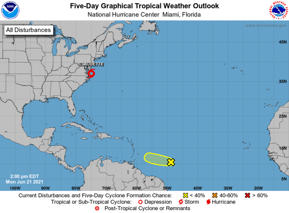
Forecasters are also monitoring a “well-defined” tropical wave that was about 700 miles east of the Windward Islands Monday evening and is expected to move west at 15 to 20 mph.
The disturbance was producing thunderstorms in the area and had a 30% chance of formation through the next five days as of the 8 p.m. update. The hurricane center says it will meet upper-level winds Thursday, which should make it less conducive for further organization.

