Climate change study shows link between hotter temperatures, urban areas. What it found
FRAMINGHAM — Results from the Framingham State University McAuliffe Center heatmapping project are in, showing an increased burden of higher temperatures for people living in urban areas.
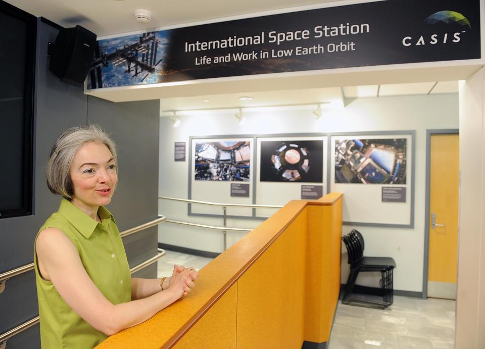
Irene Porro, director of Framingham State University's Christa Corrigan McAuliffe Center, and her team found temperatures increasing in more densely populated areas.
For example, Porro and her team of volunteers found that on the day of their study, highly populated residential areas, such as the downtown areas of Ashland, Framingham, Holliston and Natick, had temperatures as 10 degrees higher than those in more suburban and greener areas.
"This is significant because, for example, it determines how much you use your air conditioner that day (and) how much more you (use) your refrigerators to run to keep drinks and food," Porro said.

Earlier: McAuliffe Center is recruiting volunteers for heatmapping project
The McAuliffe Center's team of 42 volunteers compiled 50,000 temperature readings on July 13. The team recorded temperatures along seven routes through Framingham, Natick, Ashland and Holliston.
The data was synthesized and put into a report by CAPA Strategies, which specializes in climate adaptation planning and analytics, for community stakeholders to use to plan more in-depth studies in support of climate mitigation and adaptation strategies, according to Porro.
What is heat mapping?
Although part of the project involves heat mapping — a method of representing data graphically in which values are depicted by color — the study also involved studying land and nature-based solutions, like how flood plains are affected by development and how we can better manage it.
A separate heat mapping project was performed by the Framingham Planning and Community Development division through a project stemming from a grant it won last year, along with Natick and Hudson. The so-called Sudbury, Assabet and Concord (SuAsCo) Rivers Natural Climate Solutions Project, funded by the state's Office for Energy and Environmental Affairs, is aimed at looking at nature-based solutions for climate resilience.
Why urban 'heat islands' matter: Some neighborhoods in Natick are hotter than others
The three municipalities received more than $314,000 in grant money for the studies and project, including heat mapping in Framingham. Most of the grant money has been released, with the remainder to be distributed during fiscal 2024, which started July 1.
"We really need to understand, with all the characteristics of these areas, both from a physical perspective, but also from a social perspective so that we can understand what kind of best strategies to intervene in those areas," Porro said. "It isn't just planting more trees, (but) maybe there is something which we want to do, but something more immediate that can help."
This article originally appeared on MetroWest Daily News: Framingham State climate change study shows how hotter cities are

