Climate changes will bring fiercer storms to RI. Are we prepared? | Opinion
Michele Jalbert is executive director of the Providence Resilience Partnership which catalyzes work across Providence to address the risks of severe weather and other impacts of climate change. Isaac Ginis is a professor of oceanography at the University of Rhode Island and lead researcher in the development of the RI-CHAMP system.
Providence has been a very lucky city when it comes to hurricanes. We have yet to see a Category 3 storm since the Fox Point Hurricane Barrier was installed in the 1960s, though major storms have certainly brushed by us.
However, that luck will not last forever and we can’t expect our New England location to shield us. Last year, Hurricane Fiona skirted Rhode Island, only to hit Nova Scotia, some 500 miles north of us, as an extra-tropical cyclone with sustained 100 mph winds and waves cresting at up to 26 feet. The reality is we are facing a whole new world when it comes to storm intensity and power, driven by warming oceans and other climate change impacts.
More: As storms track further inland, they'll cause more wind damage in RI. Here's where.
When Superstorm Sandy came through in 2012, the storm literally stretched across a thousand miles, affecting 24 states and costing $70 billion. Last year’s Hurricane Ian was enormous when it made landfall in Florida, raged along the Southern coast for a week and caused $116 billion in damage. Increasingly, storms are demonstrating unusually large size when they come ashore, and perhaps even more significantly they are slowing down. Hurricanes are regularly stalling over land, dumping torrential amounts of rainfall.
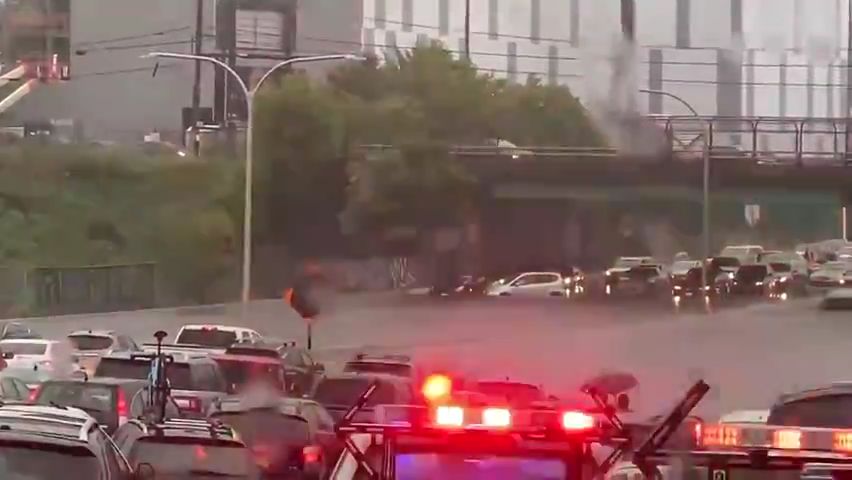
The combination is a nightmare for cities like Providence which not only face storm surge in a hurricane, but also major riverine flooding. The Woonasquatucket and Moshassuck rivers are both short and shallow, surrounded by impervious urban surfaces — think of all the pavement throughout the city. When rain comes in increments of 12, 18 or 24 inches in a matter of hours, there’s simply no place for the water to go. Remember the highway and street shutdowns on Labor Day September 2022? That was 10 inches of rain in an afternoon, resulting in unprecedented disruption.

Hurricanes that reach New England are generally more complex than those coming ashore in Southern states. As these storms track north, they often exhibit significant changes in storm surge, wind structure and rainfall patterns as they interact with other weather systems. They expand, strengthen, and become notoriously difficult to predict. In 2021, Rhode Island waited anxiously as deadly Hurricane Ida first took direct aim at Providence, waffled, then veered west, wreaking havoc on New Jersey, Pennsylvania and New York, ultimately tallying up $75 billion in damages across 22 states.
The Fox Point Hurricane Barrier has yet to be tested by one of these larger, slower storms and future weather patterns only promise more risk. This is why the Providence Resilience Partnership worked with U.S. Sen. Sheldon Whitehouse to secure funding for the U.S. Army Corps of Engineers to complete a climate assessment of the barrier given the emerging hurricane threats we are seeing. That work will begin in coming months, but it is not enough.
More: Floods are a growing threat to New England hospitals – what do you do?
University of Rhode Island researchers, together with the U.S. Department of Homeland Security and other partners are working to develop improved wind, storm surge and wave modeling to better predict hazards from larger, slower storms. This Coastal Hazards Analysis Modeling and Prediction (RI-CHAMP) system can show potential impacts on critical infrastructure in the Providence area, such as medical centers, energy assets, government facilities and other vital services.
We need to expand efforts like these to fully understand the climate risks we are facing as we start another hurricane season. And it’s not just hurricanes — sea-level rise is accelerating, and extreme temperatures are on the summer horizon. Wildfire risk is no longer the province of the West Coast; it is now on our doorstep with brush fires across the state in recent months. We need to fully understand — and then plan for — the accelerating climate risks ahead.
This article originally appeared on The Providence Journal: The reality is we are facing a whole new world when it comes to storm intensity and power.

