Coastal flooding warning in place for Metro Vancouver as high waves expected: Environment Canada
Environment Canada has issued a warning for coastal flooding due to significant waves along Metro Vancouver shorelines.
The federal forecaster is expecting high water levels and large waves early Thursday morning near Stanley Park and Kitsilano in Vancouver, the University of British Columbia, Richmond and Delta.
Armel Castellan, a warning preparedness meteorologist with Environment Canada, says several factors, including storm surge and king tides, have led to the warning.
"A northwesterly [wind] flow and the waves associated to that wind could be getting closer to two metres in height," he said.
A storm surge, Castellan says, is when a low pressure storm is able to elevate ocean water levels.
Meanwhile a king tide, also known as a spring tide, he says, takes place for a few days in the winter months when the Earth is physically closest to the sun. He says when the sun and moon are aligned, the joint gravitational pull creates stronger, deeper tides.
"It all is timed with the high tide that is around 6:30 to 7:45 a.m. tomorrow morning," Castellan said.
"Although it's not the highest tide that Vancouver will see, it is high enough with the other two elements ... [for] possible coastal flooding."
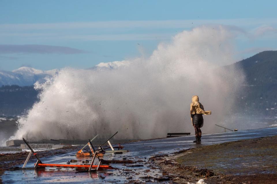
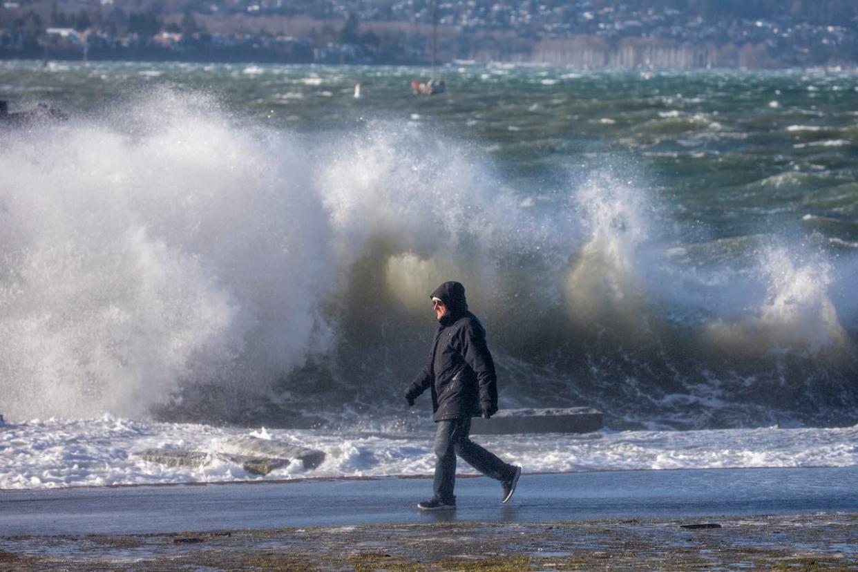
Waves are pictured crashing into the seawall in Vancouver's English Bay during a king tide in January 2022. Storm chasers heading to the shorelines for a peak at the high waves are being asked to be careful of dangers that may hit unexpectedly. (Ben Nelms/CBC)
Castellan says the low pressure system impacting morning tides is not to be confused with the high pressure system coming in from the north for Thursday afternoon.
"There are two separate things happening ... Later in the day, the winds are going to shift quite dramatically ... [with] that arctic front coming in."
Environment Canada put out a seperate weather warning Wednesday afternoon for an arctic outflow expected to bring strong winds and below freezing temperatures to Metro Vancouver, Greater Victoria, Fraser Valley and the Southern Gulf Islands.
In a statement, Vancouver Board of Parks and Recreation said debris, such as washed up logs, have been removed from shorelines and sandbags are being used to protect infrastructure.
It said staff is closely monitoring weather patterns and, if needed, will close sections of the seawall to protect the public from surging tides.
"We request that the public respect all closures ... give crews plenty of space to work and stay away from the water's edge during surges, particularly if accompanying children or pets," read the Park Board's statement.
Castellan warns storm chasers heading to the shorelines for a peak at the high waves to be careful of dangers that may hit unexpectedly.
"It might be the excitement of watching waves crash and getting [splashed] ... [but] the storm surge could be a dangerous thing," he said.

