Cold front to hit Oklahoma with light snow, heavy winds
A strong cold front is expected to bring light snow and heavy winds to parts of Oklahoma this weekend.
Winter Storm Izzy, as it is being called by The Weather Channel, is expected to bring single-digit temperatures to the Oklahoma City area from Friday evening through Saturday evening.
Winds averaging 30 to 40 mph, gusting to 55 miles per hour, are expected throughout central Oklahoma. Strong winter wind advisories have been issued by the National Weather Service for the Oklahoma City metro area from 8 p.m. Friday to 5 p.m. Saturday.
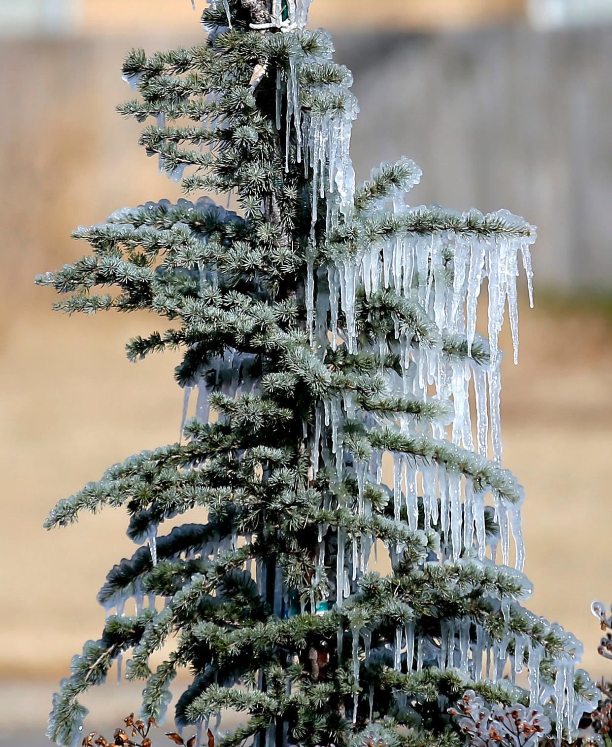
Northern and eastern Oklahoma could see a wintry mix of rain and snow in the overnight hours from Friday to Saturday, before changing completely to snow by sunrise.
More: OKC homeless shelters brace for surge as frigid temperatures expected
Where did the storm start?
Winter Storm Izzy formed in the southern Canadian province of Saskatchewan, which borders North Dakota and Montana in the U.S. The storm system, which has also been called a "Saskatchewan screamer," is similar to an "Alberta clipper," and the only major difference between the two fast-moving, low-pressure storm systems is the provinces from which they originated and where they get their names.
"We've got an upper system that's coming down from off the Northern and Central Plains, and it's going to bring a pretty strong cold front," said John Pike, a meteorologist with the National Weather Service Forecast Office in Norman. "It'll come down across Kansas and into northwest Oklahoma and then sweep through the area, so it's going to be very windy behind it."
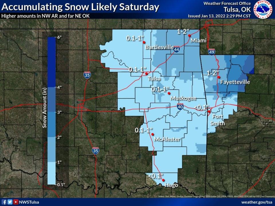
How many inches of snow are expected in Oklahoma?
Officials with the Tulsa Forecast Office, responsible for covering 25 counties in eastern Oklahoma and seven counties in northwestern Arkansas, said their region of the state is expected to get the most snow, though it won't be much.
"By Saturday afternoon, more light snow will move into the area, and that's where most of the accumulation will probably occur," said Mark Plate, a meteorologist for the Tulsa office. "I don't think it's going to be a lot. In the Tulsa area, it's going to be maybe up to one inch, and as you get further to the northeast corner, some spots could get up to as much as two inches."
The Ouachita Mountains in southeastern Oklahoma also will likely see a few inches of snow, Plate said.
The Oklahoma City area will not see much, if any, accumulating snow, according to meteorologists in Norman.
"Snow is completely out of the forecast by Saturday evening," Pike said. "The chances of it right now for any precipitation are about 30%, and that's really north central, central and south. The western half of the state doesn't have any chances. Overall, the snow's probably not going to be a big impact, is what we're getting. It'll be more the cold and the blowing winds."
Cold temperatures are expected Saturday night throughout Oklahoma, as low as the teens or upper 20s, but by Sunday afternoon, temperatures should return to above freezing.
"For all but the far eastern parts of the state, it'll probably be out by sunset. In the far east, it'll probably linger till the evening," Plate said. "But by early Saturday evening, I'd say about 8 o'clock, it'll all be over."
That is not quite the case for some neighboring states in the Midwest, where Izzy was projected to leave up to a foot of snow in certain areas.
What are ways to stay safe and warm?
"The good thing is that the snow will be out of the forecast by Saturday evening, so there's probably not going to be a major impact on roads," Pike said.
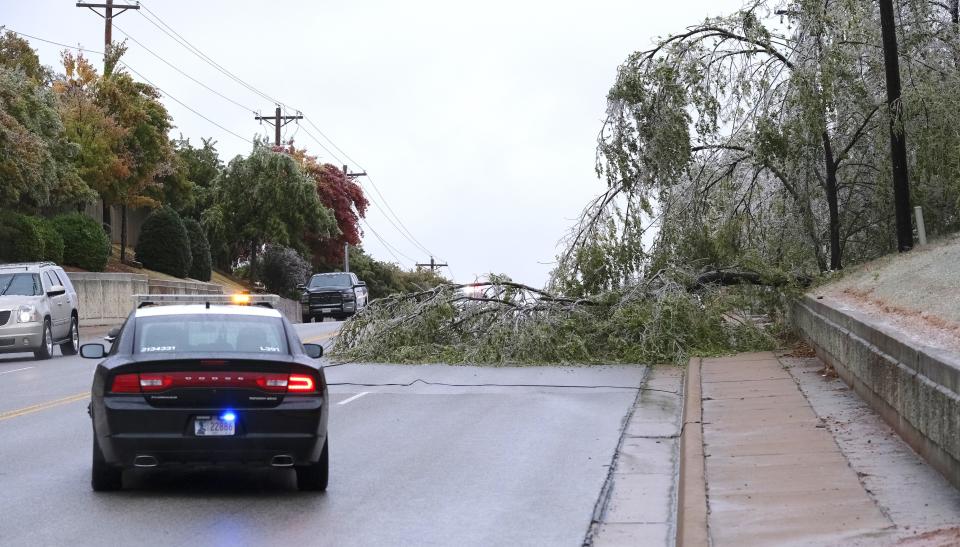
But strong crosswinds will make it difficult to drive along west-east roads such as Interstate 40, so Pike suggested vehicles avoid using those areas.
The wind chill Friday into Saturday could hit as low as 0 degrees, so forecasters recommended residents not venture out if they don't have to be outdoors. And if they do, wear layers of clothing to stay warm.
More: 9 weekend fires have Oklahoma City firefighters reminding public to practice fire safety
Pike further suggested Oklahoma City-area residents bring their pets inside to shield them from freezing temperatures, and to bring inside anything from porches and patios that could be blown away by high winds.
For Tulsa area residents, Plate recommended keeping their pipes warm by dripping their faucets and checking any exterior heating devices.
"Travel may become a little hazardous in some parts of Saturday, maybe a few slick spots," Plate said. "But if you can, postpone all travel till Sunday."
This article originally appeared on Oklahoman: Light snow, heavy winds expected in Oklahoma over MLK Day weekend

