How this cold snap has Lake Michigan steaming one day and covered in a thin sheet of ice the next
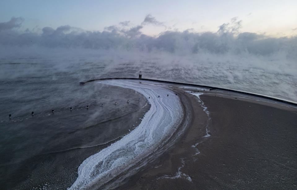
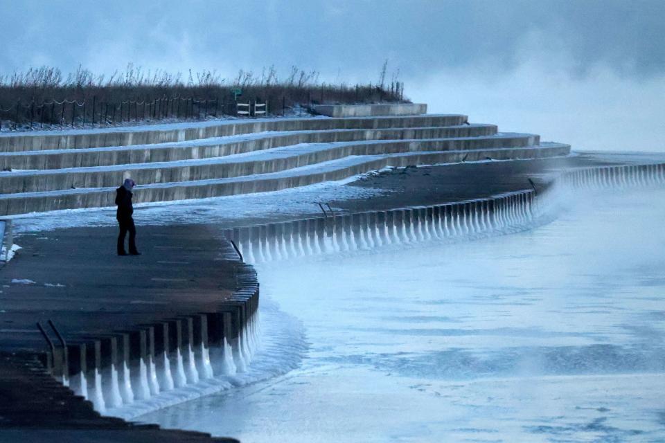


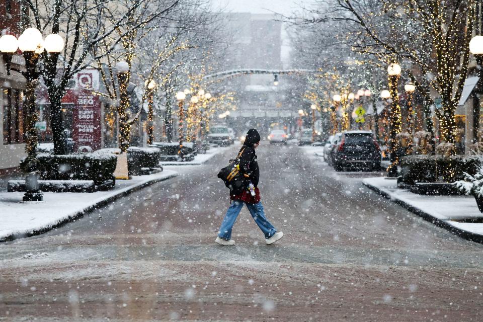


As Chicagoans cozied up inside to avoid the bitter cold, puffs of vapor settled over the surface of Lake Michigan, making it look like a steamy caldron of soup. Days later, the sun poked out, illuminating a thin, sparkling layer of ice along the shoreline.
A historically warm start to winter followed by a plunge in temperatures last week likely created this curious phenomenon, then rapid transformation.
“We went from such a warm December to extreme cold,” said Illinois State Climatologist Trent Ford. “The lake is still responding to December; it hasn’t caught up yet with January, so its temperatures are still above normal. It’s a pretty warm lake reacting to some very cold air, and that’s really why we’re seeing this dramatic effect.”
The first 43 days of meteorological winter from Dec. 1 to Jan. 12 were the third warmest in Chicago after 1890 and 1878. That mild stint fittingly capped 2023, which experts say was the world’s hottest year.
“This has been an unusual winter. It was record warmth for much of the northern part of the country in December,” said Steve Vavrus, a senior scientist at the Nelson Institute Center for Climatic Research at the University of Wisconsin at Madison. “January started off pretty warm too until last week, and then everything changed. The main reason for the shift was because the atmospheric circulation changed and we suddenly started getting these cold air masses from Canada coming down, which were absent or locked up in the Arctic.”
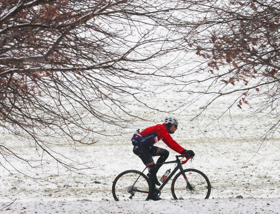
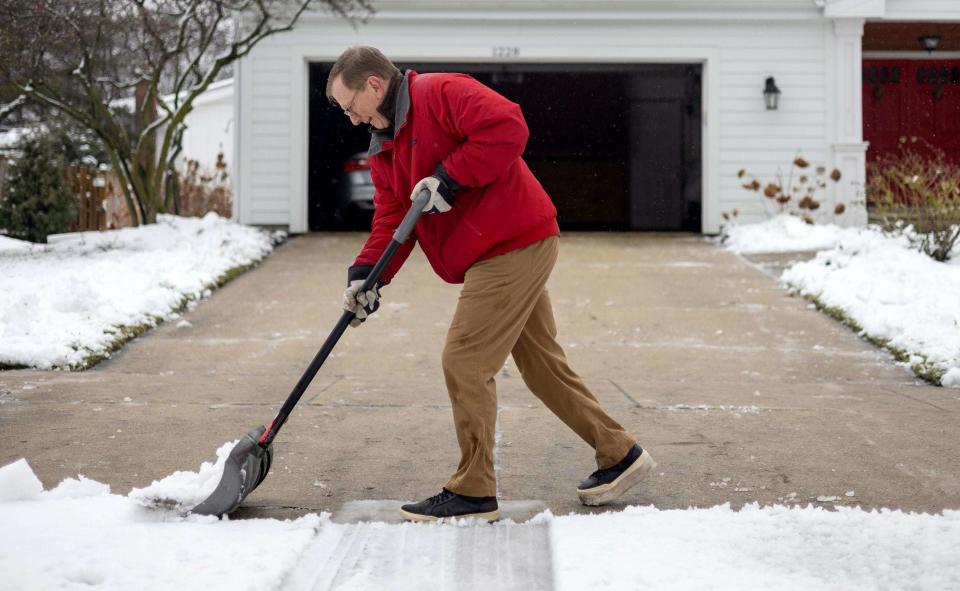
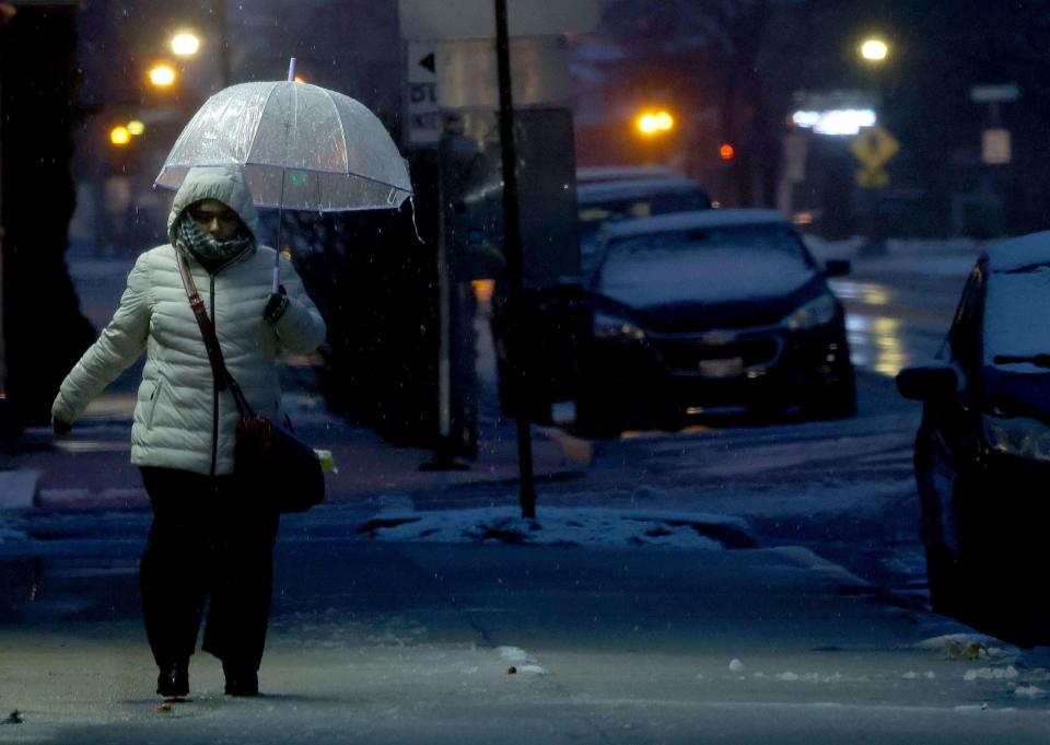
After a daily winter average of over 37 degrees, almost 8 degrees above normal, recent Chicago temperatures have ranged from just below freezing to subzero. Jan. 14 through Tuesday saw high temperatures of 3, 2 and 3 degrees respectively, according to the National Weather Service — the longest Chicago had spent below 5 degrees since a three-day period in February 1996 that saw highs of minus 5, minus 5 and 2 degrees.
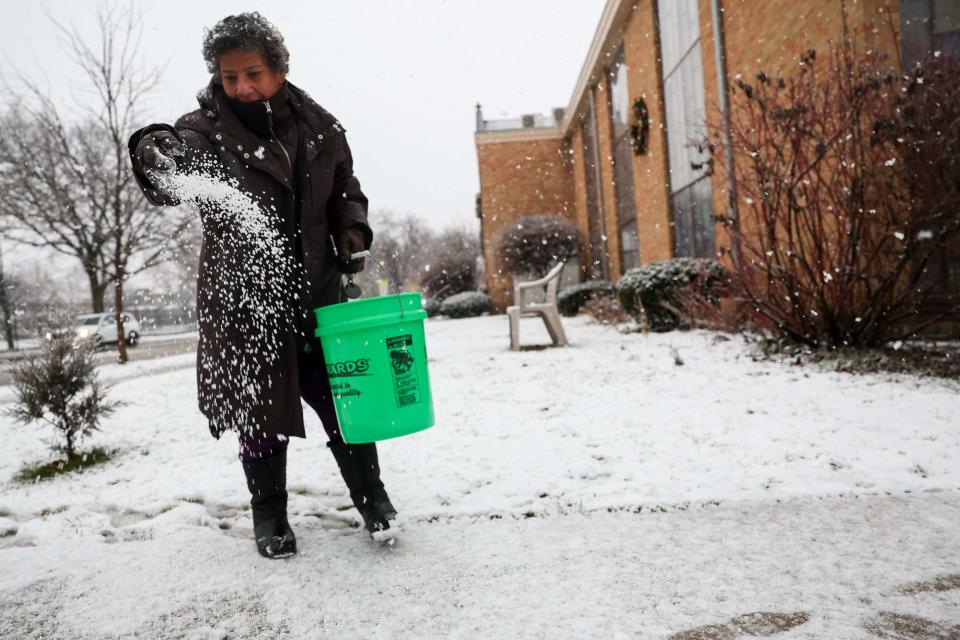
Cook County has confirmed seven cold weather-related deaths since Jan. 11, according to county records. Lake and Will counties, as of Thursday, reported a total of three suspected weather-related deaths in the same period.
Cold spells this intense might seem counterintuitive in the face of scientific evidence of climate change — specifically global warming — due to human activity. But overall trends show an undeniably hotter world.
“If you look at a map of global temperatures — or global temperatures’ departures from average — it’s very clear that the majority of the world is above normal. Always, every day,” Vavrus said. “So you might be 20 degrees below normal where you live, but the world as a whole is awash in red on a map of temperature anomalies.”
It was the sudden shift from a mild winter to Arctic temperatures that made Lake Michigan look as if it was “steaming.”
When the air is colder than the lake, the water constantly evaporating at its surface cools and condenses to form low-hanging clouds — what looks like steam. That’s what happened when recent wind chills with below freezing temperatures blew by a relatively warmer lake, where the water had so far remained above 32 degrees.
“When you have this really warm air that’s evaporating very efficiently off the lake into this much cooler air mass, that causes the air to very quickly cool down to its dew point, which means all the water vapor or the gaseous water in the air immediately condenses into liquid,” said Kevin Doom, a meteorologist with the Chicago office of the weather service.
Frigid air passing over warm water also increases lake-effect snowfall in the Great Lakes, as warmth and moisture rise with the air and narrow bands of clouds form that can produce 2 to 3 inches of snow per hour, according to the weather service.
As cold temperatures have persisted, Lake Michigan has gotten a chance to catch up by dropping from the high 30s on Jan. 12 closer to freezing. On Thursday, the weather service recorded a morning temperature off the Chicago shore of 34 degrees.
Polar vortex, jet streams and winter chaos
The quick and sudden drops in atmospheric temperatures the United States has been experiencing point to what Ford calls the “chaotic nature” of winter weather. After a snowy and chilly Thanksgiving, December was mild and dry as El Niño strengthened in the Northern Hemisphere.
“And then El Niño sort of lost a bit of its grasp on our winter and other forces took over, including the Arctic and what’s going on in the stratosphere with the polar vortex,” he said.
An unusually bitter cold snap in the northern regions of North America is oftentimes loosely — and even incorrectly — referred to as a polar vortex. But these Arctic winds do often affect winter weather south of the pole.
A polar vortex is made up of winter winds blowing counterclockwise around the North Pole and the South Pole high up in the stratosphere, which is the second layer of the atmosphere closest to the Earth. These vortices often don’t reach the troposphere, which is where humans live. But atmospheric waves — which move and are strengthened by changes in surface temperature and pressure from sea ice loss — can knock the vortex out of whack, stretching or splitting it.
“That change in the stratospheric polar vortex can disrupt the polar jet stream,” Ford said, “which is the flow of air and the dominant boundary between warmer air masses to the south and colder air masses to the north in the troposphere, where we are, where we experience our weather. And it’s when that happens, when the stratosphere links up with the troposphere, that we get the most extreme cold waves.”
So it’s actually these jet streams that, disrupted by the Arctic polar vortex, move and influence the weather this far south. While intense, cold air from the polar vortex can sink down to the troposphere, it’s very unusual. It’s also hard for scientists to know when and if it does.
“These are things that are kind of on a gray scale,” Ford said. “It’s not like a tornado occurred or it didn’t. All we got to look at is the models and the observations that we have in the upper atmosphere, which are pretty few and far between.”
What can and can’t be expected as climate changes
The Arctic is warming faster than the rest of the world, which reduces the temperature difference between high and low latitudes and weakens the jet stream, Vavrus said. The movements of these weaker westerly winds thus become more sluggish and undulating, which draws down cold air from the Arctic. It’s “kind of like snapping a whip: If you raise the jet stream in one place, you tend to dip it more downstream,” he said.
Many climatologists, including Vavrus, believe the jury is still out regarding what role the warming Arctic plays in colder outbreaks farther south. But they recognize strong connections: For instance, warming temperatures melt sea ice and heat up ocean waters, distorting the pattern and position of the jet stream, which can envelop Alaska and Scandinavia in balmy weather. This shift of warm air can then push frigid temperatures south toward Eurasia and North America.
Though it’s hard to predict when the right conditions will align for the polar jet stream to alter temperatures farther south, some experts expect up to two additional but less severe Arctic blasts to reach the United States in the coming weeks. Others say the latest cold is not necessarily indicative of how the rest of the winter — or the year — will go.
“It’s not super telling of what’s to come,” Doom said, “due to the fact that we had a really hot 2023 and then these cold first few weeks of 2024.”
Temperatures will drop again this weekend — but it won’t get quite as cold. Wind chills, however, will remain below zero, around minus 10 degrees in the heart of the city and closer to minus 15 in the outskirts Saturday and Sunday.
While this cold stretch may seem to be dragging on, temperatures are expected to return to the 30s Monday with the forecast closing in on 40 degrees near the end of the week.
“It’s a thing, after a big snowstorm, to think ‘Oh, wow, we’re gonna stay cold, in a deep freeze, for a long time,’” Vavrus said. “And if we get the right jet stream pattern, the right circulation pattern with more Arctic air mass coming down, then that can reinforce it. But there’s also times — like we’ll see next week — when we have quite a bit of snow on the ground, but yet the temperatures will still recover.”
Chicago Tribune’s Caroline Kubzansky contributed.
