Cook’s Brook connects trails where Worcester, Holden, Paxton and Leicester converge.

Editor's note: This is part of a series on winter walking places in and near Worcester. Let us know your favorite walking places at wmeditor@gatehousemedia.com.
The Greater Worcester Land Trust’s Four-Town Greenway spans more than 900 acres of land surrounding the area where Worcester, Holden, Paxton and Leicester converge.
A particularly adventurous hiker could start at Southwick Pond in Leicester and walk all the way to the Salisbury Street trail head for Holbrook Forest in Holden, passing through Paxton and Worcester and only briefly touching pavement.
A path of discovery
The 17-acre Cook’s Brook property was the final section of forest the Greater Worcester Land Trust needed to acquire in order to connect those two spots in 2017, and Worcester Magazine visited on an unseasonably warm February day to walk alongside the brook and stop at two favorite spots from previous Worcester Walks.
The trail that runs along the edge of the brook is less than one mile long, but it provides an enjoyable walk through the woods, as well as a vital link in a chain of conservation land.
Heading south from the entrance on Brigham Road, the trail, labeled Woonaskochu’s Path on the Greater Worcester Land Trust's trail maps, crosses Cook’s Brook almost right away, and hikers can look to their left for a valley view.
The brook briefly leaves the thin strip of land that contains the trail, then returns a few hundred feet downhill. The trail crosses the brook one more time and takes hikers over a small stream before rising above a marsh.
When the Greater Worcester Land Trust bought the Cook’s Brook property in 2017, executive director Colin Novick said connecting Worcester’s conservation land to that in other towns was important because it provided “human corridors for long trails and wildlife corridors.”
More Winter Walks
Serenity abides at West Boylston's Old Stone Church
Bovenzi Park in Worcester an ideal setting for a winter hike
Old Settlers Burying Ground offers a gentle walk through local history
“This is the culmination of all the years of building up all those blocks of land,” Novick told the Telegram & Gazette at the time. “People get excited every time a bear or a moose shows up in the city; it is these links that make that possible.”
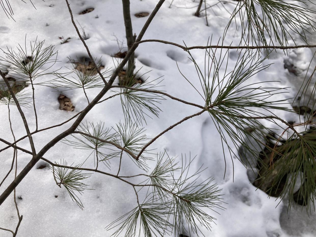
True to Novick’s statement, when a Worcester Magazine reporter visited, what looked like deer tracks were visible in the snow.
A wonder of woods and wetlands
At the trail’s south end, the path rises on a hillside above a wetland, which seemed to be briefly waking up in the 50-degree weather. Across Moreland Green Drive and downhill from the trail entrance is Donker Farm, the only working farm within Worcester city limits and home to a flock of sheep.
If you choose to go further along the Four-Town Greenway in that direction, you’ll find yourself at Cook’s Pond, where the brook ends. When walking this route, dogs are prohibited on the Donker Farm trail, as it runs through the sheep’s pasture.
At the north end of the Cook’s Brook trail is Cook’s Woods and Kinney Woods, which features miles of trails, a summer camp, and a crisscross of historic stone walls. For those who want to start from the north end of Woonaskochu’s Path and walk the entire Greenway, or at least the majority, parking is available on Salisbury Street, just across the Holden town line.
When Worcester Magazine visited, there was plenty of mud in the areas where the trail crosses the brook, to be expected on a path that traverses wetlands on a day that saw significant runoff from melting snow.
Some snow and ice still remained on the hillsides, making a few sections of the trail treacherous, so boots or shoes with good traction are recommended.
Cook’s Brook is located in Worcester between Moreland Green Drive and Brigham Road, with trail entrances and street parking on each road and more space to park at the Cook’s Woods trail head on Dawson Road. To learn more, visit gwlt.org.
This article originally appeared on Worcester Magazine: Winter Walks: Cook’s Brook the key to connecting Four-Town Greenway

