CSU weather model extended advance warning time for killer Mississippi tornadoes
A new severe weather model developed at Colorado State University correctly forecast the probability of hazardous storms seven days ahead of last week's killer tornadoes in Mississippi.
This week, that model five days out has shown the probability of potential tornado activity beginning Friday, just north of last week's storms.
The model is helping the National Weather Service's Storm Prediction Center identify the probability of storms containing tornadoes, hail and strong wind twice as far out as previously forecast.
The latest model forecast by CSU and used by the Storm Prediction Center is identifying intense and widespread severe thunderstorms, including the potential for strong, long-lasting tornadoes and hail, Friday afternoon into the night across portions of the Middle Mississippi Valley and Mid-South vicinity eastward to the lower Ohio and Tennessee valleys.
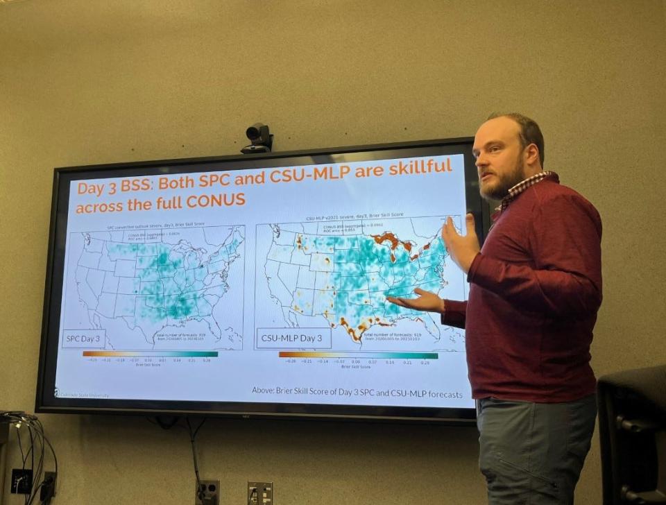
Russ Schumacher, professor in CSU's Department of Atmospheric Science and Colorado's state climatologist, and Aaron Hill, research scientist in the department, have led a team that over the last several years has developed a sophisticated machine learning probabilities model to extend the lead time of hazardous weather warnings.
That model is now being used by the Storm Prediction Center based in Norman, Oklahoma.
"There's not a lot of tools that look six to eight days ahead of severe weather,'' said Hill, who has worked at refining the model the past two years. "This is another tool in the toolbox the center can use as guidance to reliably and skillfully forecast such events.''
Where the model shows Friday's forecast severe weather will strike
CSU's model for Friday's forecast severe weather five days out includes different colors in concentric circles that correspond to forecast probabilities for the affected area.
The area lines up with the Storm Prediction Center's forecast and stretches from eastern Oklahoma, northern Louisiana and extreme northwest Mississippi northeast through Missouri, Illinois and Indiana.
A black dot on the map in extreme southern Illinois indicates the maximum probability, 54%, of severe weather hazards happening.
Colorado snow forecast tricky: Biggest snowstorm of the season shocks Fort Collins with nearly 10 inches of snow
How CSU's severe weather model works
The model includes a database of atmospheric conditions from storms producing larger tornadoes, hail and strong wind over a historical period. Combined with meteorological forecasts from those storms, the model then looks at real-time storm conditions to produce a probability of those occurring.
"The model still has failures we are working on, but confidence is building in the skill of these longer-lead-time forecasts," Hill said. "Those longer lead times (help) people prepare, which can protect lives and property.''
The model has proof it is accurate and credible.
CSU's machine model accurately highlighted the corridor where widespread heavy rain and flooding would occur with the remnants of Hurricane Ida in the mid-Atlantic states in September 2021.
"With our model, we like to call it the first guess, what does the forecast look like from a first guess,'' Hill said. "This model is not meant to circumvent the human element of forecasting but is meant to be digested to refine what that first guess might look like."
This article originally appeared on Fort Collins Coloradoan: How CSU played role in forecasting killer Mississippi tornadoes

