'Dangerously cold' Arctic blast coming for Northeast; wind chills as low as 40 below zero: Friday updates
Saturday's updates: Read the latest weather news here.
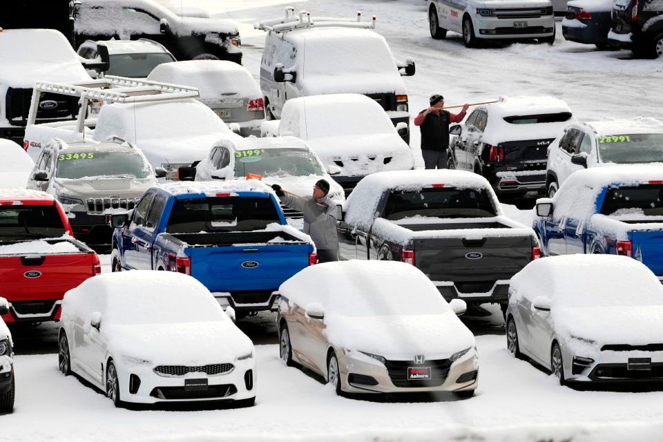
More than 16 million people in the Northeast headed into the weekend under wind-chill warnings Friday, as an Arctic blast began its sweep over the region – bringing with it the threat of frigid temperatures and high winds.
The storm, which moved in Thursday night and is expected to last through Saturday, could shatter records in cities including Boston, where wind chills cold enough to cause frostbite could feel as low as 35 degrees below zero.
"The main push of extreme cold is coming right down the eastern states, particularly over New England," said Bob Larson, senior meteorologist at AccuWeather. "That's going to be ground zero for the extreme cold as we head into the weekend."
Other states that will be impacted by cold temperatures include Maryland, Delaware, Pennsylvania, New Jersey and Midwestern states including Michigan, Wisconsin, Indiana, Illinois and Ohio.
Here’s what you need to know about winter weather this weekend:
How Arctic temperatures impact health
In northern and parts of central Maine, where the National Weather Service issued a blizzard warning, the state’s law enforcement and emergency management agencies urged people to avoid travel and stay home Friday. Authorities opened several warming centers for people seeking shelter.
Bare skin exposed to wind-chill temperatures between 40 to 60 degrees below zero could cause frostbite in as little as five minutes, said James Sinko, a weather service meteorologist in Caribou, Maine.
As of 1 p.m. Friday, air temperatures in central Maine's Baxter State Park dipped to more than 30 degrees below zero, with a wind-chill of 58 degrees below zero, the weather service in Caribou said on Twitter.
Air temperatures in the area were below zero Friday morning, and parts of Maine could see up to 50 mph wind gusts by Friday afternoon, Sinko said.
Temperatures are falling fast! #MEwx pic.twitter.com/YZ13TFgAuC
— NWS Caribou (@NWSCaribou) February 3, 2023
If travel can't be avoided, Sinko advised keeping a winter survival kit in vehicles and filling up on fuel.
“It could take time for emergency officials to find you and get to you if you get stranded out there,” Sinko told USA TODAY.
Authorities recommended if drivers become stranded to stay in their vehicles.
“Do not get out,” Sinko said. “There's a good chance of succumbing to frostbite or hypothermia, or you could get hit by other vehicles on the road.”
Do you know the warning signs of hypothermia?https://t.co/yWcvSdpPBc pic.twitter.com/9cGqgSxJ3A
— NWS Boston (@NWSBoston) February 3, 2023
'Dangerously cold' temperatures in forecast
The states that will see the coldest conditions during the storm include:
Maine
Vermont
New Hampshire
Massachusetts
Connecticut
Rhode Island
New York
Wind gusts could push as high as 40 to 55 mph, according to the National Weather Service.
"You combine that with those very low temperatures and it creates very harsh feels-like temperatures," Larson said.
For instance, it'll feel like 20 degrees below zero in New York City, 25 to 35 below in Boston and 40 to 60 below zero through much of Maine. The "dangerously cold" weather was likely to break some records, Larson said.
The record low in Boston for Feb. 4 was set in 1886 when it hit 2 degrees below zero. It's expected to drop between 5 and 10 below zero during the storm.
"Boston is in the running to set a top-five low-temperature mark Saturday morning," AccuWeather Senior Weather Editor and Meteorologist Jesse Ferrell said. The lowest temperature ever recorded at Boston Logan International Airport was 14 below zero on Feb. 15, 1943, according to AccuWeather.
The cold is expected to end by Sunday when temperatures in the region get back into the 30s and 40s.
Arctic blast prompts school closures in New York, Boston
The severe Arctic blast prompted school districts to cancel classes across the region, including in New England and New York.
Boston Public Schools announced Thursday afternoon that classes were canceled Friday due to the extreme cold. Several school districts in central New York also canceled Friday classes.
Rochester, New York, also can expect up to three to five inches of lake effect snow through Saturday morning, the weather service said Friday.
What is wind chill? Understanding the wind chill index and how it's calculated
Texas freeze
Meanwhile, an ice storm that hit Texas and parts of the South left 10 people dead – seven of them in Texas – and left hundreds of thousands of households without power and thousands of flights canceled.
More than 210,000 customers in Texas were still without power Friday evening, according to PowerOutage.us.
Texas power outage tracker: Power restored for thousands; 200,000-plus customers still in the dark
The storm, which spanned three days, is winding down and should be cleared of the region by Friday.
The remnants of that storm should hit warmer air, causing rainstorms in the Carolinas and Georgia, Larson said.
Thunderstorms are also expected in Florida.
What is the polar vortex? In-depth look at how it can affect winter weather in the US.
Winter storm tracker
National weather radar
This article originally appeared on USA TODAY: Winter storm updates: Arctic blast, wind chill warnings for NE Friday

