'Dangerously cold wind chills' to follow winter's arrival this week
The astronomical start of winter is bringing residents of North Central Ohio cold tidings of great storms.
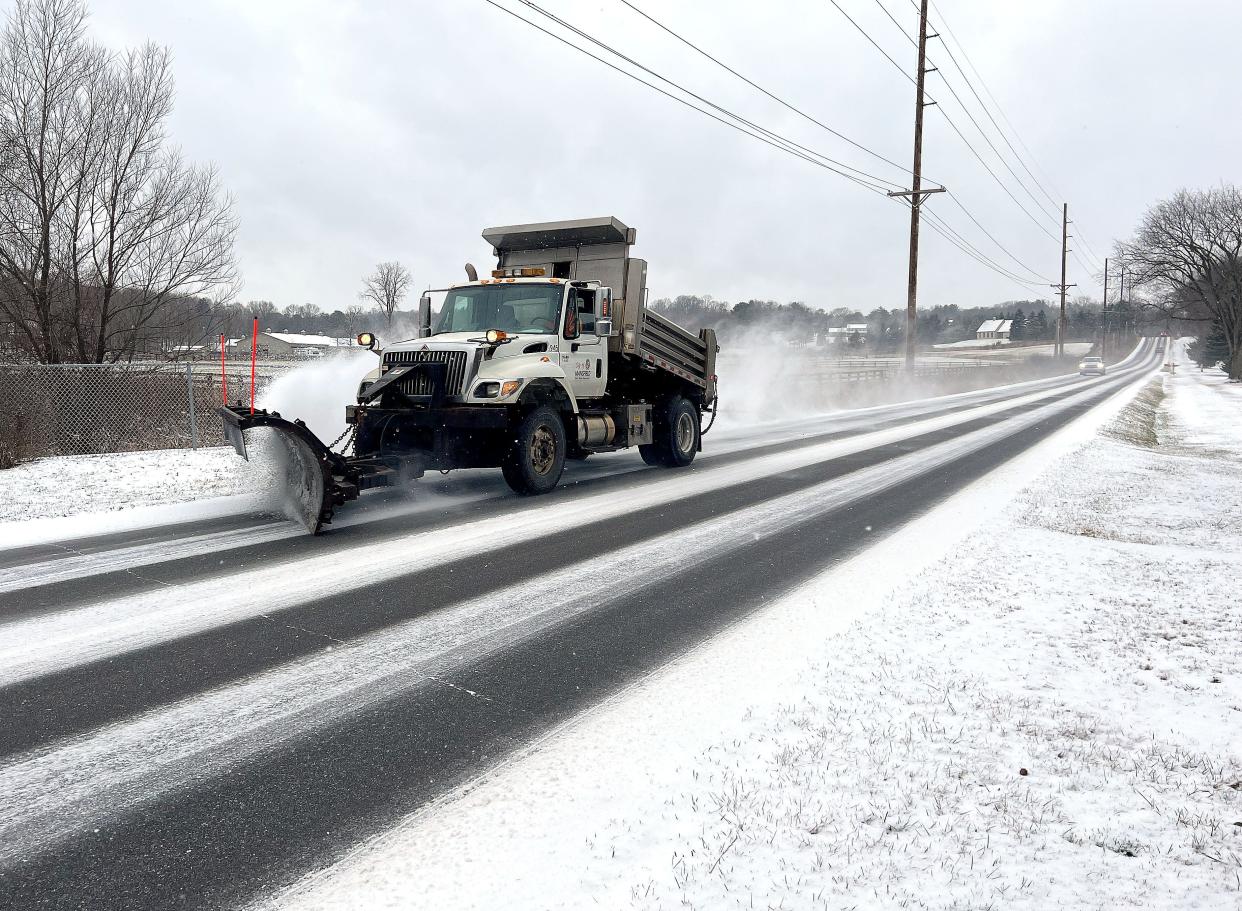
The region has already been looking a lot like Christmas, but now there's more snow — along with extreme cold and strong wind — on its way.
The forecast this week calls for "a major winter storm," according to meteorologists from the Cleveland office of the National Weather Service.
The worst part of the storm is expected to roll into Richland, Wayne, Crawford, Ashland and Holmes counties Thursday night and stick around until Christmas.
"This storm could bring dangerously cold wind chills, strong gusty winds and snow to the area," the weather service has advised. "Take advantage of the next couple days to get prepared."
Extreme cold and strong wind this weekend
Highs will be in the 30s Tuesday, Wednesday, Thursday and Friday, the weather service forecasts. Lows will be in the upper 20s Tuesday night, Wednesday night and Thursday night.
Precipitation will fall Thursday, but a high near 40 will keep it rain and slush.
Snow will arrive Friday. The day's high is forecast at 33, but it will be breezy. The low Friday night will drop to 12.
There will be more snow Saturday. It will be windy with a high of only 15. Saturday night will remain breezy with a low of 8.

Meteorologists believe the wind gusts across the region could blow as strong as 45 mph on Friday and Saturday. Those winds could cause snow to blow and drift across roads.
Christmas Sunday is forecast to be cloudy with a high of 15.
The weather service warns that the weather should be considered before traveling this weekend.
"Pack an emergency supply kit for your vehicle," meteorologists warn.
Their extensive list of recommendations includes blankets, flashlights, first aid kids, nonperishable food, water, extra clothes, sand or cat litter for traction, shovel, windshield scraper, tool kit and jumper cables.
Wednesday is the shortest day of the year
Fortunately, the cold will be offset by the extra light that will be visible after Wednesday, which is the shortest day of the year.
The Winter Solstice, also known as the December Solstice, is the point at which the path of the sun in the sky is its furthest south and the sun is at its lowest point on the horizon, according to Space.com.
In Ohio, the sun will only be visible Wednesday for 9 hours, 19 minutes and 55 seconds, according to timeanddate.com, a full second less than last year's shortest day. By Christmas Sunday, 29 seconds of daylight will have been added.
"In terms of daylight, this day is 5 hours, 41 minutes shorter than on June Solstice," the website reads.
Although overall daylength is getting longer, mornings will remain shaded from the sun for a few more weeks.
The sunrise will be 7:50 a.m. Wednesday and will be as late as 7:53 a.m. on Jan. 11, then it will creep back to 7:52 a.m. Jan. 12.
The earliest sunset of the year is 5:09 p.m. Tuesday. Sunset will be 5:27 p.m. by Jan. 12 when the mornings begin growing longer.
ztuggle@gannett.com
419-564-3508
Twitter: @zachtuggle
This article originally appeared on Mansfield News Journal: Solstice and 'dangerously cold' winds both to hit the region this week

