December starts with snow in Tri-Cities. Here are the schools with delayed openings
The Tri-Cities has had its first snowfall of the winter season.
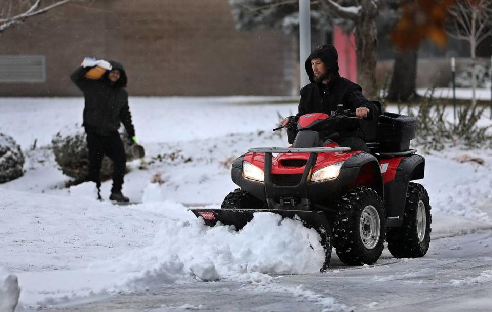
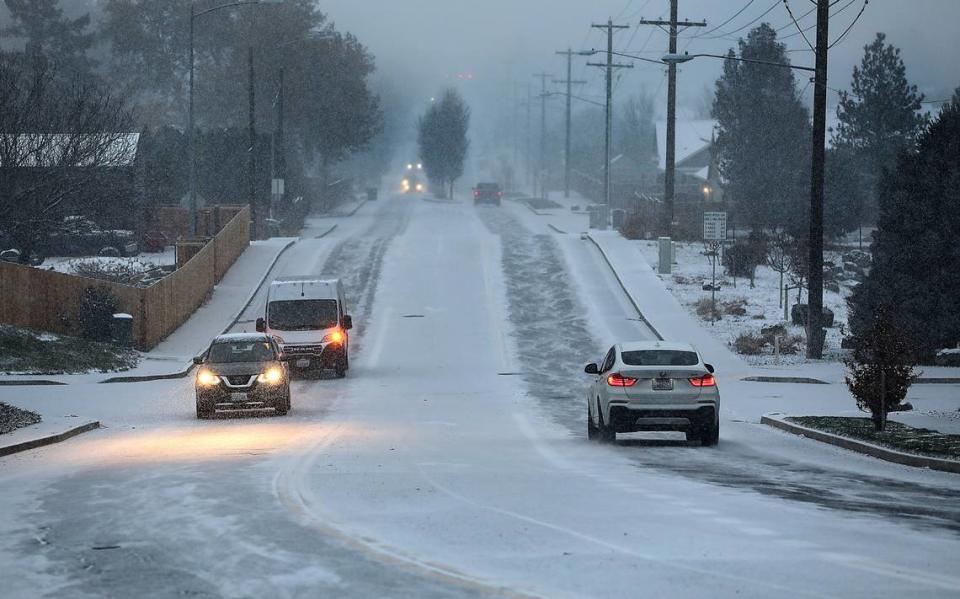
December in the Tri-Cities began with a dusting of on the ground after snow started to fall Thursday evening.
By 8 a.m. Friday more snow was falling, and 90 minutes later up to 1.5 inches covered the Tri-Cities. Many roads had packed snow and were slick.
Snow had coated roads in north Franklin County before dawn Friday and drivers also were hitting patches of fog, according to the Franklin County Sheriff’s Office.
“Some roads are worse than others. Please use caution on your morning commute,” it posted on Facebook.
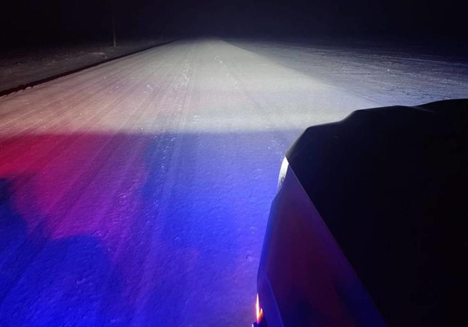
The Benton County Sheriff’s Office said it responded to several crashes due to icy roads Friday morning.
Meals on Wheels canceled home deliveries and closed, with the exception of its Fowler Street Cafe in Richland.
Pasco School District, the North Franklin School District and some Head Start programs opened two hours late Friday. Kingspoint Christian School in Pasco closed.
In Hermiston a school bus was hit by a car driving on slick roads about 7:20 a.m. No one on the bus, including eight students, was injured.
Kennewick School District posted to Facebook that classes would be held as usual, but that road conditions varied throughout the district and absences due to weather conditions would be excused with parent permission.
The National Weather Service forecast said the snow level was expected to rise to 2,200 feet by Friday afternoon. Much of the Tri-Cities is at 400 to 500 feet in elevation.
With warmer weather forecast, the Tri-Cities can expect a rainy weekend and start to the coming work week, according to the weather service.
Friday a high of 39 was forecast, with highs in the low to mid 50s expected for the weekend through at least Thursday.
Overnight lows should be in the 40s from Saturday night through Wednesday night, according to the weather service.
Travel forecast
A winter storm warning has been issued for Interstate 90 at Snoqualmie Pass with heavy snow forecast for the Cascade Mountains in Washington.
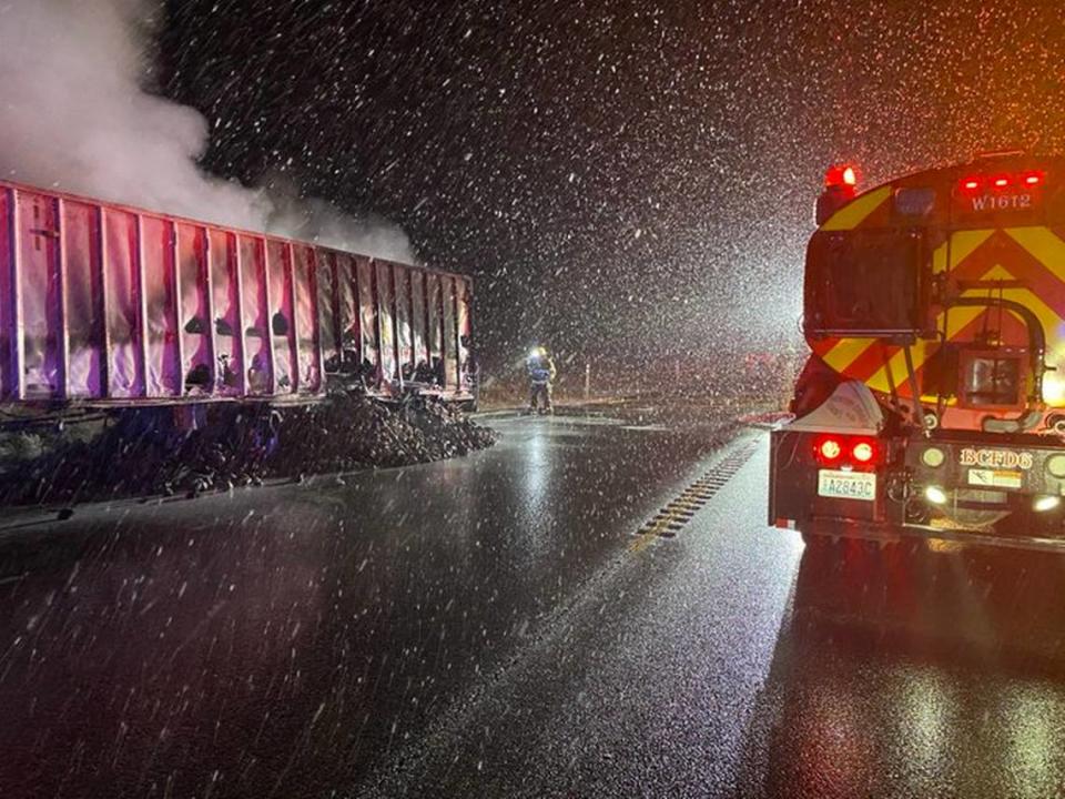
The interstate closed for about an hour eastbound at 8 a.m. Friday due to multiple crashes and disabled semi trucks, according to the Washington state Department of Transportation.
Nine to 13 inches of new snow was expected Friday by 5 p.m., with another 7 to 11 inches forecast for Friday night, with some rain and snow mix possible.
Saturday travelers should be prepared for heavy snow at times, plus some possible rain. New accumulation of 2 to 4 inches of snow is possible, according to the weather service.
The winter storm warning is set to expire at 10 a.m. Sunday, with rain in the forecast for the rest of the day.
Travelers heading east from the Tri-Cities on Interstate 84 through Oregon were cautioned to expect heavy snow at times Friday at the highest Blue Mountain pass elevations near Meacham, according to the weather service.
It expected daytime snow accumulation of 1 to 3 inches with an additional 2 to 4 inches possible Friday night.
Saturday a rain and snow mix was predicted.

