Intense rain storms could dampen fall fire risk in parts of California
After suffering through a devastating summer of wildfires, Californians may catch a break this month as a series of expected storms could effectively end the fire season in the northern and central parts of the state, experts say.
Although it’s not yet clear exactly how much precipitation will fall, weather models are showing a fairly high likelihood that a series of wet storms could drop multiple feet of snow at higher elevations up north through Halloween. Southern California, however, will see far less rainfall, and therefore remain at risk for wildfires.
For much of the state, though, the forecast for late October precipitation “is actually still relatively good news compared to recent years when the fire season statewide lasted well past October, November, December and even the middle of winter last year,” said UCLA climate scientist Daniel Swain.
The forecast comes as residents continue to reel from wildfires that have burned more than 2.5 million acres and leveled entire towns. Fueled by heat, drought and the effects of climate change, the fires have been notable for their extreme behavior.
By Monday evening, the Lake Tahoe area had already seen about 3 to 4 inches of rain within the preceding 24 hours, with higher elevations recording up to 8 inches, officials said.
The storms are expected to be fairly gentle until the weekend, when downpours could cause mud and debris flows in high-severity burn areas, including the Highway 50 corridor in the Caldor fire footprint and farther north by the Dixie fire scar.
A Burned Area Emergency Response team assigned to the Caldor fire was preparing for that possibility by laying fallen trees across bulldozer lines in some areas in effort to hold soil in place, according to Mary Ontiveros, a public information officer on the Caldor fire. Crews were also placing straw tubing known as wattles along stream edges to prevent sediment from washing into the waterway amid rain or snowfall.
Authorities were warning those living near and downstream of the burned areas to stay alert ahead of the rain.
With another storm expected to roll in Wednesday, crews tasked with mitigation efforts were “trying to prioritize areas that we can easily access now and safely access now,” Ontiveros said.
The risk of flooding and debris flows is particularly high since there has been virtually no transition period between severe fire season and intense precipitation, Swain said. Research he has performed, some of which hasn’t yet been published, suggests the state is likely to see these types of dramatic swings more frequently going forward.
“This is sort of that notion of increasing precipitation whiplash we keep talking about in California in a warming climate, where we get these drier conditions overall but more intense precipitation when it is raining and a sharper transition between those wet and dry periods,” he said.
In lower-elevation northern areas like the Bay Area and San Joaquin and Sacramento valleys, 1 to 2 inches of precipitation over a week would promote a flush of green vegetation that offsets the flammable dead and brown material, reducing fire danger, said Brent Wachter, predictive services meteorologist with the National Interagency Fire Center’s Northern California Operations.
Wachter writes the agency's monthly significant fire potential outlook for the region and most recently forecast above-normal fire danger for the area west of the Sierra crest.
“But if we get the moisture that we’re hopeful to get in the next seven to 10 days and we get that green-up going into November, then I'll be able to knock everything down to normal for November and then normal beyond that,” he said.
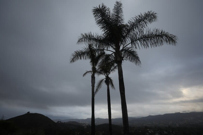
The picture is different for Southern California, which doesn’t usually see as much autumn precipitation and is not expected to get as much moisture with this event. Even if a significant amount of rain were to fall, there’s still plenty of time for Santa Ana winds, which typically start in the fall and can persist into January. The hot, gusty winds can sap the landscape of moisture and fan large, damaging fires.
For now, wildfire season in Southern California is “absolutely not” over, said Los Angeles County Fire Department Inspector Sean Ferguson.
“You know it’s bad when the best scientists can do is say, ‘Well, I have my fingers crossed too,’ but that's kind of where we are,” said David Schimel, senior research scientist at NASA's Jet Propulsion Laboratory. “We're hoping for more rainfall to end the Southern California fire season.”
Two years of drought have parched vegetation to the point where it’s primed to ignite at the drop of an ember. A sprinkling of moisture, like what Southern Californians woke up to Monday morning, provides only momentary relief.
All told, weather officials estimated the light drizzle that dampened grounds in the region amounted to about five-hundredths of an inch of rain. By afternoon, the sun peeked out from behind cloud cover and began drying out the residual moisture.
A warming trend is expected to follow, with temperatures spiking to the lower 80s in some areas by Thursday, according to David Sweet, a meteorologist with the National Weather Service in Oxnard.
Even with the possibility of more rain, Sweet said the impact on bone-dry fuels will be minimal.
“A couple inches of rain — that only provides very brief respite,” he said. Then it all dries out again. It would take “an awful lot of rain,” up to 10 inches, to see an impact.
And it usually takes a significant winter storm to “knock us out” of the dangerous brush fire season, Ferguson said.
Even then, the region might not be in the clear. Fire officials are observing fire behavior trends that are challenging conceptions of what’s normal.
The L.A. County area typically doesn’t see large-scale brush fires during the winter and early spring months of January through March. But this year there were several, Ferguson said.
The storms are also not expected to pull California out of drought. The state just reported its driest year in a century. A total of 11.87 inches of rain and snow fell in California in the 2021 water year, according to the the Western Regional Climate Center. That’s roughly half of what experts deem average.
"It took quite a while to get to our drought levels," Wachter said. "It will take quite a while to get out of it."
If the models are correct, though, the storms could make a dent in the drought in parts of Northern California, he said.
Still, more is riding on the winter months, when California typically gets much of its moisture in the form of snow in the Sierra Nevada.
And it’s too soon to tell for sure, but longer-term forecasts still suggest the state could see a drier than usual season, particularly the southern portion. It would take a wetter than usual season to make up for the enormous precipitation deficit, experts said.
“Even if we have a decent winter and spring rainfall, it’s still quite possible that we’ll have extreme wildfire conditions and low fuel moistures,” Schimel said.
Times staff writer Laura Anaya-Morga contributed to this report.
This story originally appeared in Los Angeles Times.

