Does NOAA’s La Niña Watch mean more hurricanes for NC this year? What experts say
One of the stronger El Niños on record is expected to fade away this spring, likely to be followed by a La Niña that could make for a busy Atlantic hurricane season.
Here’s what forecasters are watching.
What’s happening with the El Niño?
The El Niño that developed last fall was the first in four years and one of the stronger ones since meteorologists began tracking them. The stronger the El Niño (or La Niña), the greater its impacts will be.
During an El Niño, NOAA explains, trade winds along the equator weaken, allowing warm water in the Pacific Ocean to be pushed to the east, toward the west coast of the Americas.
The warmer waters cause the Pacific jet stream to move south of its neutral position, which can affect temperatures and precipitation all over the U.S., typically in the winter.
Meteorologists says that’s what happened this season.
El Niño peaked in November, NOAA says, with much higher-than-average surface water temperatures in regions of the Pacific. Those temperatures are used as an indicator of the phenomenon’s strength and, to some degree, to predict how long the El Niño will take to subside.
This one is expected to end sometime between April and June, according to the National Oceanic and Atmospheric Administration. In the meantime, it’s been credited with the wetter-than-average winter in the South. In North Carolina, heavy rains from November into January wiped out a widespread drought.
When will La Niña arrive?
NOAA forecasters say there is a 55% chance that a La Niña will develop sometime between June and August, meaning we’re officially under a La Niña Watch.
NOAA says that more than half of the El Niños since 1950 have been quickly followed by a La Niña, so this is not a surprise to meteorologists.
How are La Niñas and hurricanes connected?
NOAA says that during La Niña cycles, the Deep South typically experiences drier and warmer conditions than would normally be expected.
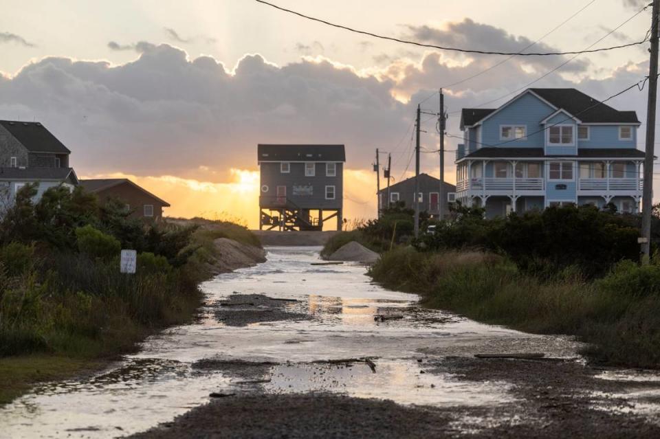
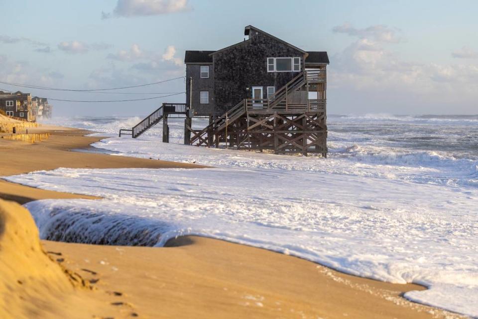
However, NOAA says, while an El Niño event typical suppresses Atlantic hurricane activity, La Niña events often increase the number of hurricanes in the Atlantic and allow stronger hurricanes to form. Statistically, NOAA says, “La Niña means a greater frequency of damaging storms and more damage per storm.”
“I think that’s a very fair assessment of the favorable environmental ingredients that seem to be taking shape for the upcoming hurricane season,” State Climatologist Corey Davis said this week.
“The ocean surface across the Atlantic has been at historically warm levels since last summer, which provides more energy for developing storms. And the La Niña pattern that’s likely to emerge later this year tends to give more favorable upper-atmospheric conditions, such as a reduction in the wind shear that can tear apart storms.”
While that may increase the overall amount of activity, Davis said, it doesn’t necessarily mean North Carolina will be directly affected by more tropical storms or hurricanes. Last year, for example, Davis said, there were 20 named storms in the Atlantic, but only three directly affected the U.S. and two of those – Idalia and Ophelia – directly affected North Carolina.
“Certainly, having more storms increases the odds that one will affect us, but the large-scale wind patterns can also steer those storms to other areas or keep those storms out at sea, as we saw last year and late in the 2022 season,” Davis said.
Statistically, NOAA says, La Niña events are also associated with increased tornado outbreaks, especially in the Deep South.
The National Hurricane Center improves its forecasts
The National Hurricane Center in Miami will roll out three changes in its forecasting this year:
▪ Spanish translation: It will use AI to translate its important tropical storm and cyclone advisories and text products into Spanish
▪ More updates: It will increase the frequency of its storm updates as necessary, rather than waiting until the next scheduled update time. In the past, these have been provided at 5 a.m., 11 a.m., 5 p.m.and 11 p.m.
▪ Expanded forecasts: It will expand its forecast of tropical storm-force wind radii from the three days it has long used to four and five days. Hurricane-force wind forecasts will remain at two days.
The Atlantic hurricane season runs from June 1 to Nov. 30. The first four storms this year will be named:
Alberto
Beryl
Chris
Debby
Should we add a Category 6 to the hurricane scale? Why scientists say we need it
Pelicans are being killed on the NC coast. Rescuer suspects out-of-state fishermen

