How to drive safely through winter weather and snow squalls
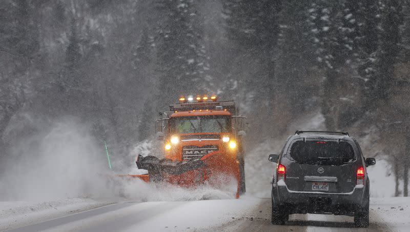
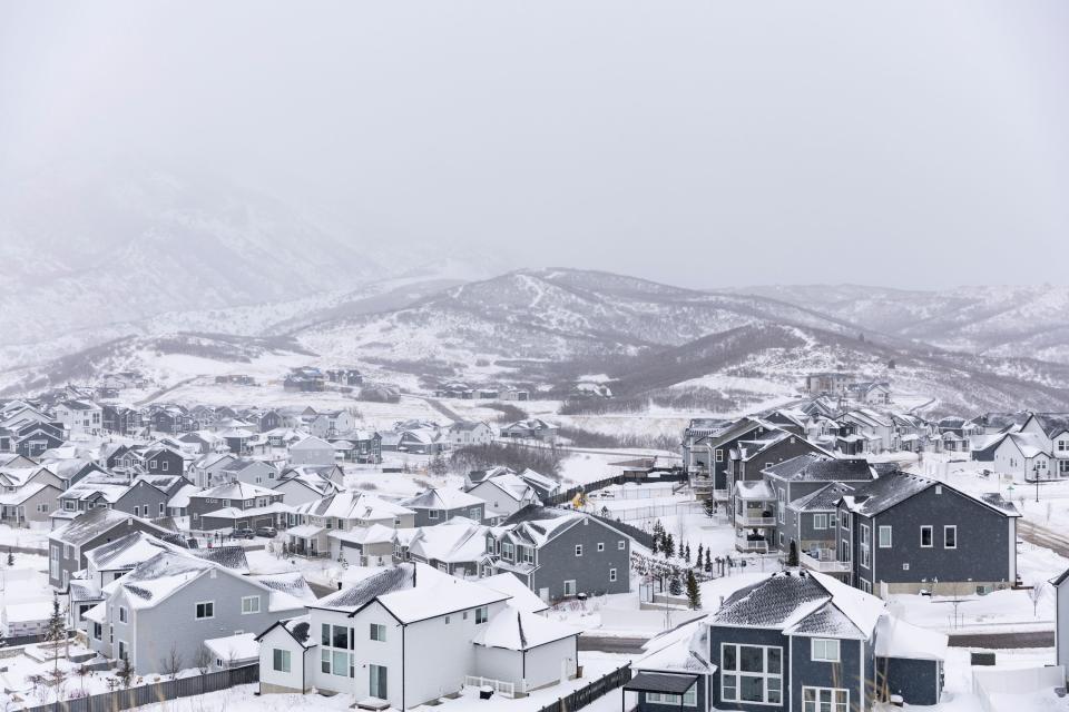
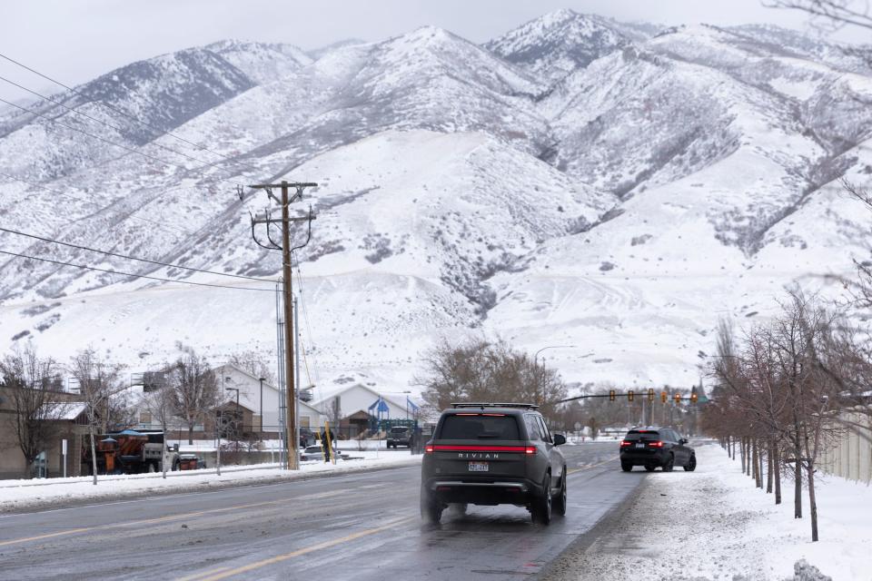
Wintry weather and snows squalls are continuing to impact Utah as car crashes total in the hundreds since the onset of snow Friday.
Utah Highway Patrol Sgt. Cameron Roden confirmed that approximately 280 car crashes occurred from Friday to Sunday. Two of those were fatalities. Utah Highway Patrol responded to 101 crashes on Tuesday. As of Wednesday afternoon, they responded to 61 crashes.
The Utah Department of Transportation issued a road weather alert on Wednesday.
“Another cold storm is expected to sweep across the state Wednesday. Snow picks up across the northern end of the state this morning and spreads south across the northern Utah mountains through this afternoon,” the alert said. “A band of snow and gusty winds will move into the NW corner of the state near 2pm, moving SE across much of the state over the next several hours.”
The alert noted that Wednesday’s storm will have heavier snow than Tuesday’s storm did. The storm is also expected to go further south.
“Lingering areas of road snow/blowing snow along with high ice concerns should be anticipated with a very cold Thursday morning,” the alert continued.
What to know about safe driving in the winter
As Utah continues to face wintry weather conditions, Roden offered some advice to drivers to help them try to stay safe while commuting.
The No. 1 tip he emphasized is driving slower than usual.
“Watch your speed,” Roden said “That is the No. 1 thing that causes crashes in bad weather, whether the roads be icy or snowy or even just wet. Going too fast for those conditions is what causes most crashes.”
Roden explained that driving too quickly can make it difficult to control your car. “If you have to react to any type of hazard, whether someone loses control in front you and you have to react to that or you have to brake suddenly or you have to do anything and you’re going too fast, it’s much easier to lose control when it comes to speed.”
Posted speed limits are set for typical, dry conditions, he said. Driving below the speed limit can be important to help avoid crashes.
Increasing your following distance is also something to keep in mind while driving. “Giving yourself that extra space will help you to avoid running into the snow or the person in front.”
If you run into a snow squall, visibility can dramatically drop in a short period of time. Roden’s best advice is to avoid driving during that time. “With diminished visibility, it’s just hard to drive, period. It’s hard to see other cars around you. It’s hard to see if you’re staying within your lane.”
Say you’re driving as a squall comes on. Roden said the best option might be to exit the freeway and wait out the squall before driving to your destination.
It’s also important to watch out for black ice, which Roden explained could pop up on the roads whenever there’s been moisture. After the snow has been cleared, some drivers might think they can return to normal speeds, but Roden said that’s not the case. He’s seen drivers lose control of their cars after sliding on ice.
Another potential driving hazard to look out for is snow on your car. He emphasized that clearing off windows and the top of your car is critical. “If you get on the freeway and start traveling at higher speeds, a lot of the time that snow can fly off and cause visibility issues for others that may be driving behind you.”
One time when Roden was driving, he said he had some snow on top of his car. He had to brake and the snow slid down onto the windshield and pinned the blades down. His wipers were unable to clear the snow and it made it difficult for him to see until he pulled over and cleared it off. To avoid it becoming a hazard to yourself, you need to clear off the snow, he said.
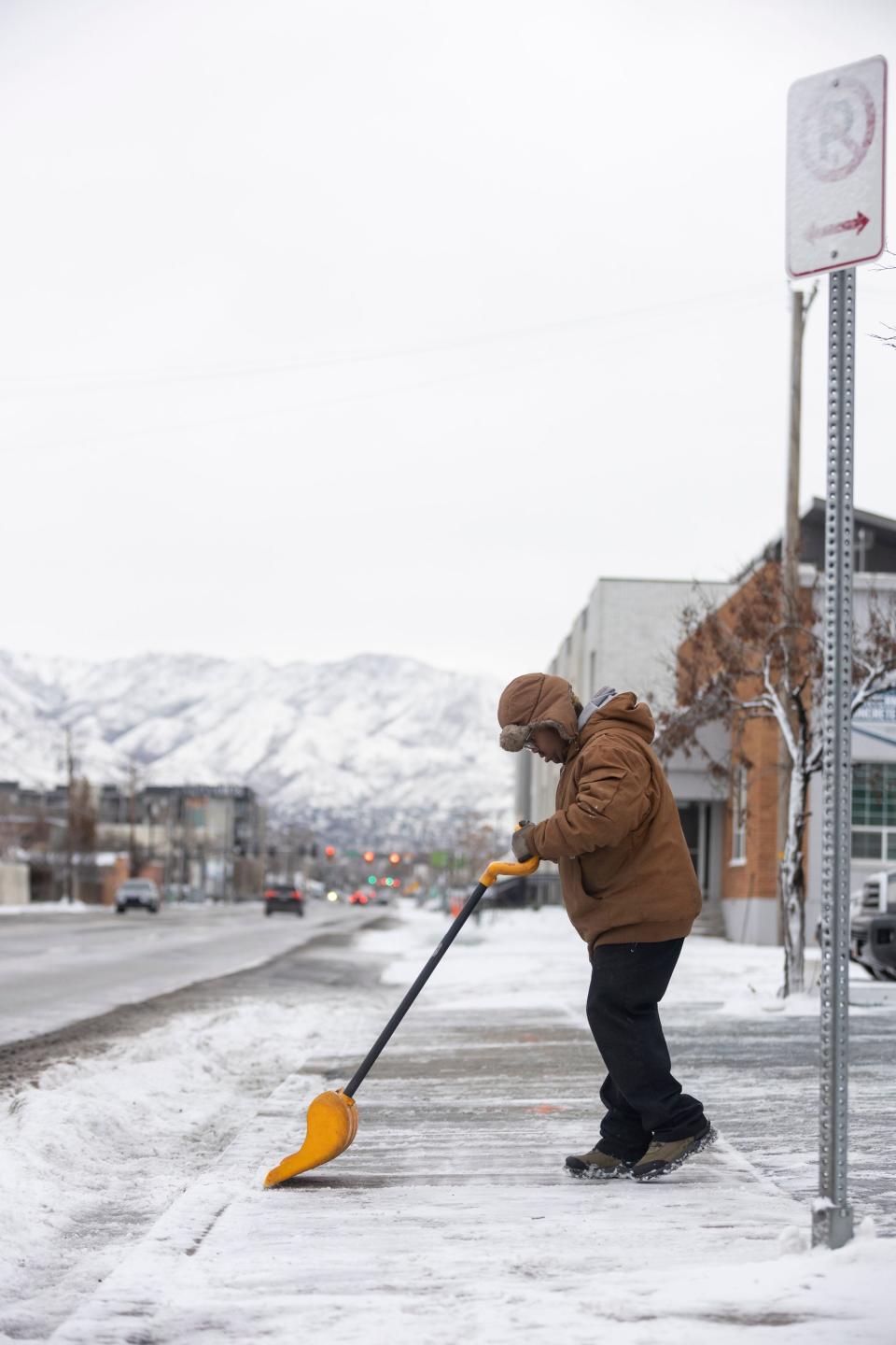
Before you even get on the road, there are safety tips to follow. First, check your tires. Roden explained that if your tires are bald, maintaining control on snowy roads is harder. He also advised that you ensure that your headlights are working, your wipers are clearing snow properly and that you make sure you have the right washer fluid.
“If your washer fluid is not meant for freezing temperatures and you use that washer fluid, it freezes to your windshield,” Roden said. “And that can cause some visibility issues.”
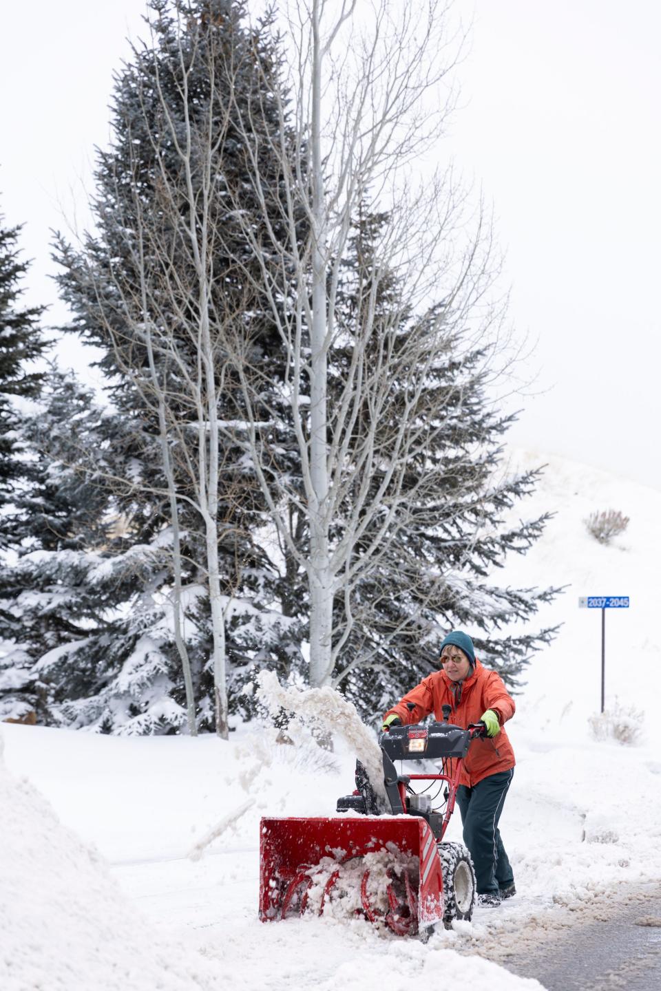
10 things to check before a snowstorm
Here are 10 things to evaluate before a snowstorm to help you remain safe.
Is the tire pressure on your cars at the proper level?
Does your car battery need to be replaced?
Is there a blanket, a flashlight, shovel, snow brush, extra clothing and battery booster cables in your vehicle in case of emergency?
Do you have water bottles and jugs in your house?
How much food, especially nonperishables, do you have in your home?
Do you have a plan and supplies (such as flashlights or generators) in the case of a power outage?
Do you have enough of the medication you may need?
Do you have enough food for your pets?
Do you have enough diapers and formula for your baby?
Have you checked your carbon monoxide detector?
Related
Utah snow squall warning
Part of the road weather alert from the Utah Department of Transportation included an additional warning about snow squalls.
The snow squalls Tuesday happened during the evening commute. It’s forecast that on Wednesday they will happen earlier than Tuesday’s, but will still intersect with Wednesday’s evening commute.
According to the alert, the squall is expected to pass through Ogden from 3 to 4 p.m., go across Salt Lake and Tooele counties at around 5 p.m. and make it to Utah County after 6 p.m. “The highest concerns through the evening commute are expected south of Bountiful,” the alert said.
A snow squall is different than just any snowstorm. It’s an intense bout of snow that is accompanied by high, gusty winds and whiteout conditions. These weather occurrences obscure visibility, making it difficult to see, and bring additional difficulties when driving. It’s different than a blizzard in that the snow only continues for an hour or so.
A winter weather advisory was issued by the National Weather Service in Salt Lake City. It’s expected to impact the Tooele and Rush valleys, the northern Wasatch Front, Salt Lake Valley, Utah Valley, eastern Juab/Millard counties and Sanpete Valley. The advisory is in place until 5 a.m. Thursday.
An additional 2 to 5 inches of snow is expected along with wind gusts that reach up to 35 mph. “A strong cold front will bring a period of heavier snow Wednesday afternoon into early Wednesday evening,” the advisory stated. “Snow squalls will be possible with this front, bringing strong winds and flash freezing conditions.”
It’s important to note that the winter weather is expected to continue through the weekend. The Salt Lake City area is forecast to see snow every day from Wednesday until Sunday, followed by two days without snow. Then, on Wednesday of next week, there is likely to be a mix of rain and snow.
Other parts of the country are experiencing snowy weather, with more on the horizon.
“The deadly storm that’s raking the eastern U.S. this week is the opening act for what’s to come over the next week: A potential ‘bomb cyclone’ blizzard for the Midwest, an arctic blast courtesy of the polar vortex, and possibly the first real East Coast snowstorm in years,” USA Today reported.

