Dry spell over? Sacramento could get rain right before Thanksgiving, forecasts show
It’s finally coming. Maybe. Probably. Perhaps.
The National Weather Service is tracking a storm it says will likely bring rain to the Sacramento Valley and snow to the Sierra mountains by about the middle of next week.
For Sacramento, the latest NWS forecast now shows a chance of rain Tuesday night and rain “likely” Wednesday, with highs in the mid- to upper-50s each day.
The forecasts don’t yet estimate how much precipitation could fall at the capital. The city has had just two days of measurable rainfall since May: just .12 inches, total, across two days of showers in September.
The NWS in a tweet Thursday morning showed a storm track dipping south from Alaska before reaching blowing east into the Central Valley. The storm will drop temperatures below normal, and bring a chance of snow at or below pass levels.
A change to wet weather possible next week! #CAwx pic.twitter.com/4LKcGE1bwH
— NWS Sacramento (@NWSSacramento) November 21, 2019
Are we ever going to see a shift to cool/wet weather? It looks like a pattern shift is becoming more likely by the middle of next week! The latest Climate Prediction Center outlook keeps this in place into early December. #CAwx pic.twitter.com/vMdHLBtzbT
— NWS Sacramento (@NWSSacramento) November 21, 2019
Snow and rain showers did reach parts of the Sierra Nevada range, south of Interstate 80, this week. The National Weather Service said about an inch fell in the higher elevations of El Dorado County, with the Mt. Rose area getting significantly more from the system that came through Tuesday and Wednesday.
Meanwhile, Placer and Nevada counties were the only spot near Sacramento to see any rain, with Roseville seeing .03 of an inch and Grass Valley recording twice that amount.
Traveling for Thanksgiving?
There is potential for “significant travel delays around Thanksgiving,” the NWS Sacramento office advised on social media.
If your holiday plans will have you heading near Tahoe, mountain snow could disrupt the trip to grandma’s cabin. Caltrans is advising drivers on Interstate 80 in the Sierra to carry chains, as snow has already fallen this week near about 5,500 to 6,000 feet.
If you’re planning to fly out east for the holiday, things could be even worse.
The NWS and other weather agencies are predicting a big set of storms nationwide, which could include snow and blizzard-like conditions to a large stretch of the Midwest.
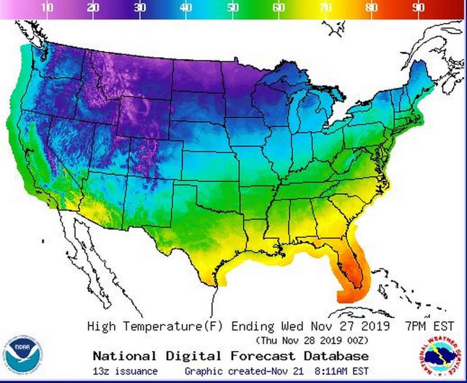
It’ll be unseasonably cold with strong potential for ice and snow for parts of at least dozen states, from Colorado all the way up through Michigan. AccuWeather tweeted that “three storms of note” are likely to cause “trouble on the roads and at the airports across the United States.” Highs in the single-digits are possible for much of the far north, according to NWS graphics.
As the Thanksgiving travel period kicks off this weekend and continues through the following weekend, at least three storms of note have the potential to cause trouble on the roads and at the airports across the United States: https://t.co/AsDa4p7tE1 pic.twitter.com/Hn8lmZNjix
— AccuWeather (@breakingweather) November 20, 2019
Let it snow (near Tahoe)
It doesn’t figure to be a “blizzard” this far west, but the NWS Reno office has advised that a “parade of cold storms” is set to impact the Sierra Nevada starting next Tuesday night and lasting through Thanksgiving weekend. The office said in a tweet that snow is likely even at low elevations, but the amount to expect is not yet known.
It’ll be frigid near Tahoe, with South Lake Tahoe forecasts showing his in the 30s by next Tuesday and Wednesday. Overnight lows could dip into the teens.
Cold winter storms could significantly affect #Thanksgiving travel next week beginning Tuesday night. Snow at all elevations including #downhere. Amounts yet to be determined, so continue to monitor the forecast for updates and plan ahead. #cawx #nvwx #Sierrasnow pic.twitter.com/89kXqOW8sx
— NWS Reno (@NWSReno) November 20, 2019
It’s good news for skiers and snowboarders.
Mt. Rose Ski Tahoe resort announced Wednesday it will begin daily operations this Friday, no longer open only on weekends. The resort said in a news release that the Mt. Rose area has received 7 inches of new snow this week.
Other Tahoe-area resorts, including Squaw Valley and Alpine Meadows, have started their ski and snowboard seasons in recent days. Heavenly and Northstar resorts, which originally looked to open this Friday, pushed their season openings to next week: Heavenly will now attempt to open next Wednesday and Northstar is planning to open Nov. 29, the resorts say.
Partner resorts Squaw Valley and Alpine Meadows opened Nov. 15, with the help of their $9 million snow-making machines.

