Will El Niño make airplane turbulence worse?
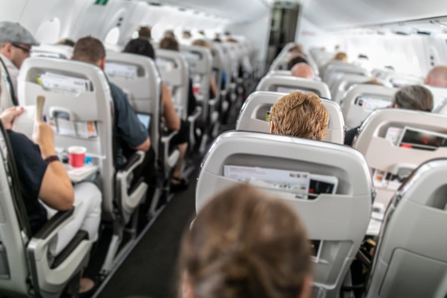
(NEXSTAR) – This year’s El Niño is likely to affect droughts, heat waves and hurricane season — and possibly your next flight. New research suggests the climate phenomenon could have an impact on how much turbulence planes experience in the air.
Paul Williams, a professor of atmospheric science at the University of Reading, presented his research on the subject during a meeting of the American Meteorological Society earlier this year.
The science is complicated, but essentially Williams found a link between El Niño or La Niña years and the amount of clear-air turbulence (or CAT) in the atmosphere.
CAT is one type of turbulence you might experience while flying. It happens when skies look clear — there are no major storms — but the plane shakes anyway. It happens when there are curves in the jet stream (air currents that circle around the planet), pilot Stuart Walker explained in an interview with the Wall Street Journal. Along those curves there are pockets of wind shear, or a sudden change in the wind’s direction or speed.
As those winds suddenly hit the plane from one side or another, they can cause the plane to rock, Walker said.
El Niño officially arrives early: What it means for 2023 weather
This is where El Niño comes in. Williams found that during El Niño years, there were more wind shear anomalies over the United States, Mexico, Southeast Asia and Australia. In La Niña years, the opposite was true — there was weaker wind shear.
More wind shear means more clear-air turbulence, hence the connection between El Niño and bumpy flights.
In his talk, Williams cited a paper that observed the largest spike in pilots reporting turbulence, which occurred in the winter of 1997-1998 — one of the strongest El Niño winters ever recorded.
After crunching the numbers, Williams found “when there’s a strong El Niño event, there is 50% more moderate-or-greater CAT over large parts of the U.S. and the North Atlantic. And when there’s a strong La Niña event, there’s about 50% less moderate-or-greater CAT than normal.”
El Niño could mean the hottest year on record, meteorologists warn
The only place that didn’t see a connection between El Niño and more wind shear was Europe, Williams said. The continent is further away from the warming Pacific waters that define an El Niño event.
What does this mean for your next flight, now that El Niño has officially started? The research doesn’t make it possible to predict exactly when or where pilots will see more turbulence, but it does give an idea of how much turbulence they may encounter over the course of a season.
Plus, clear-air turbulence isn’t anything new — even if research suggests it’s happening more frequently. (Another bit of Williams’ research published in 2019 also found that global warming has been leading to increased air turbulence.) Pilots know how to handle CAT when they come across it.
“The good news about clear-air turbulence, though, is it typically does not last but a couple thousand feet. So if we just descend a couple thousand or climb a couple thousand, we can usually fly out of some of that rough air,” Walker said.
If you experience an especially bumpy ride this winter, you can buckle up, take a deep breath, and probably blame El Niño.
For the latest news, weather, sports, and streaming video, head to The Hill.

