What to expect from an El Niño winter
If you're still searching for something to blame for this year’s scorching-hot summer, look no further than El Niño, a dramatic weather phenomenon that comes around every two to seven years. The good news, of course, is that summer is over and fall’s cooler temperatures are finally here. The bad news? El Nino has already set its eyes on its next target: winter 2024.
What is El Niño?
El Niño is a climate pattern that causes “the unusual warming of surface waters in the eastern tropical Pacific Ocean,” per National Geographic. It makes up one part of the weather phenomenon known as the El Niño Southern Oscillation (ENSO) cycle, which includes El Niño and its sister pattern, La Niña. The ENSO cycle describes the “coherent and sometimes very strong year-to-year variations in sea-surface temperatures, rainfall, surface air pressure, and atmospheric circulation that occur across the equatorial Pacific Ocean,” according to the National Oceanic and Atmospheric Administration. The phenomenon appears approximately every two to seven years (though it doesn’t have a set schedule) and has a strong effect on global weather patterns.
How will El Niño affect the winter?
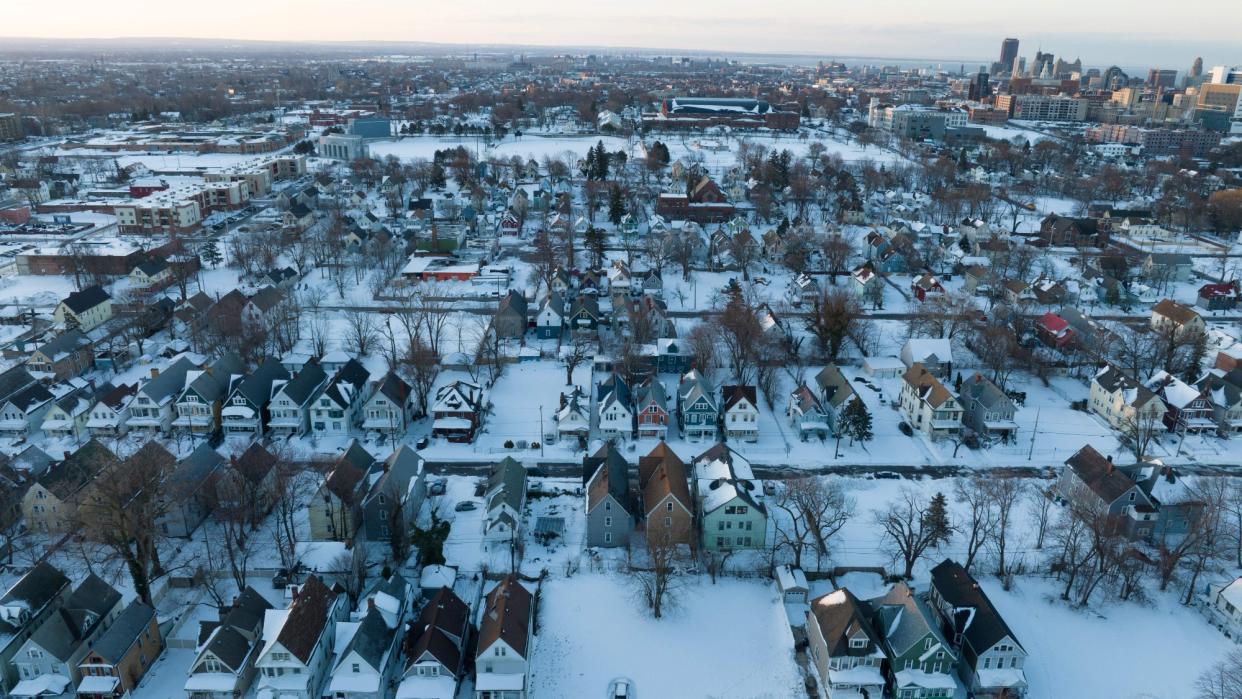
Different parts of the U.S. will experience El Niño differently. The northern U.S. will likely see warmer than average temperatures thanks to the polar jet stream, “a fast-moving belt of westerly winds that traverses the lower layers of the atmosphere,” according to NASA. The northeast specifically may see more precipitation than usual, with the possibility of strong winter storms in the Atlantic. Meanwhile, the southern U.S. will likely be cooler and wetter than usual “due to the active subtropical jet” that’s fueled by “warm, moist air from the Pacific Ocean,” ABC News reported. The jet stream is “a river of air” through which storms flow and which tends to move across the South during El Niño years.
“The combination of cooler weather and more frequent precipitation may also increase the chances for wintry precipitation like freezing rain, sleet and snow to fall in the South,” CNN wrote. This year’s El Niño is also stronger than average, which will strengthen its impact in turn. “There are small signs of El Niño beginning to impact the circulation over the Atlantic,” Matt Rosencrans of the U.S. Climate Prediction Center told The Philidelphia Inquirer. “In the months ahead, El Niño’s influence on the atmosphere over North America will only grow,” Michelle L’Heureux, part of the Climate Prediction Center’s ENSO team, told the outlet.
Parts of the northern U.S. — namely from the Pacific Northwest to the Rockies, Plains and Midwest — could see drier and milder conditions due to El Niño. This could be “bad news for portions of the Midwest also dealing with extreme and exceptional levels of drought, and for snowpack in the Pacific Northwest,” which relies on snow for water supply during the year, CNN continued.
How will this El Niño affect the future?
The effect of this winter’s El Niño also depends on climate change. Temperatures have been warmer than usual globally, and air temperatures greatly affect weather patterns. Jet streams create storms but “snowfall would depend on just what routes those storms would take and … the presence or absence of cold air, which has been in mighty short supply lately,” per the Inquirer. “I’m not going to be upset if we see a snowier winter materialize,” L’Heureux, told the outlet. “Unfortunately, our climate trends are toward warmer winters.”

