Expect windy snow-rain mix during Tuesday morning commute in Northeast Ohio
A windy rain and snow mix will greet Tuesday morning commuters traveling throughout Northeast Ohio, making roads across the region slippery, including in Summit County.
Forecasters at the National Weather Service predict snow will fall before 9 a.m. before transitioning to a snow-rain mix. Rain, not snow, is expected after 11 a.m.
With a 100% chance of precipitation, less than half an inch is possible, according to the NWS.
Temperatures across the area will start the day at about 32 degrees before rising into the mid-40s at the highest. Tuesday night could see the mercury fall to about 34 degrees.
A dusting of snow is possible Tuesday night.
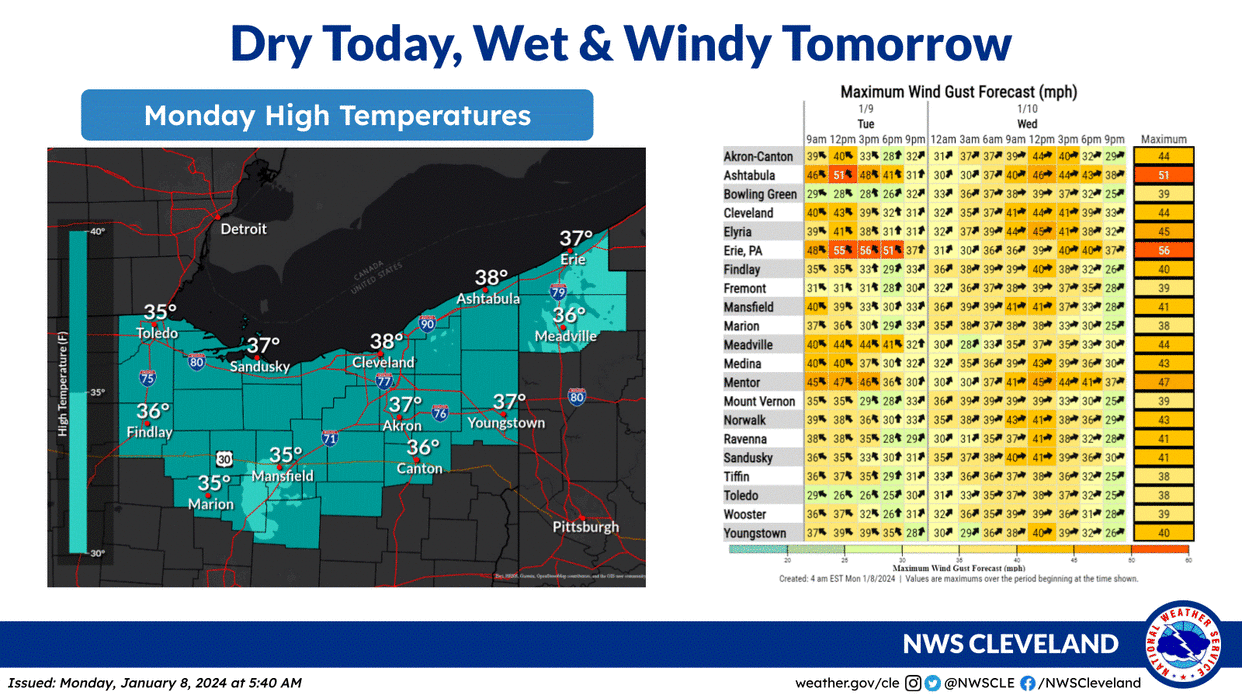
Wind gusts could vary from 16 to 23 mph, possibly reaching upwards of nearly 40 mph on Tuesday, according to the forecast.
Wednesday's weather forecast
A rain-snow mix is likely before 4 p.m. on Wednesday. Less than half an inch of snow is possible in the evening and nighttime hours, the NWS predicted.
There is an 80% chance of precipitation across Summit County.
Temperatures are expected to rise to 36 degrees before dropping to 29 later Wednesday night.
Wind gusts will range from 20 to 22 mph, possibly reaching upwards of nearly 40 mph on Wednesday, according to the forecast.
To learn more about the daily forecast, visit the National Weather Service Cleveland office website.
This article originally appeared on Akron Beacon Journal: Akron weather: Windy, snow-rain mix expected for Tuesday morning

